
Wietalaba National Park, national park in Australia
Ort: Gladstone Regional
Betreiber: Queensland Department of National Parks, Sport and Racing
GPS Koordinaten: -24.29580,151.20847
Neueste Aktualisierung: 9. April 2025 um 20:24
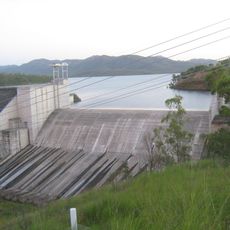
Lake Awoonga
26.5 km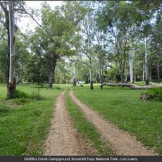
Kroombit Tops National Park
27.8 km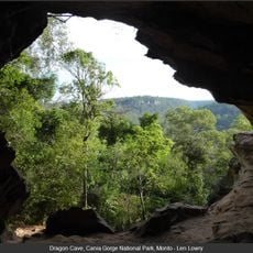
Cania Gorge National Park
48.1 km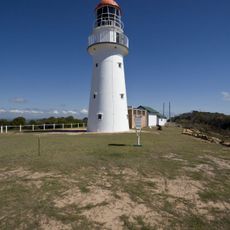
Bustard Head Light
64.2 km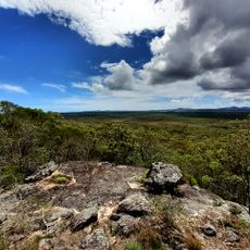
Eurimbula National Park
53.8 km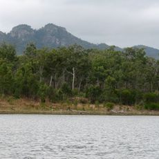
Castle Tower National Park
17.5 km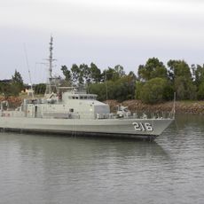
HMAS Gladstone
51.7 km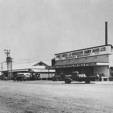
Port Curtis Co-operative Dairy Association Ltd Factory
50 km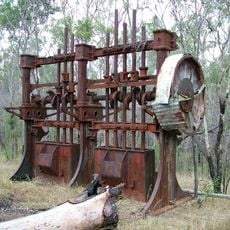
Norton Goldfield
16.9 km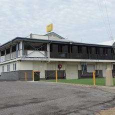
Port Curtis Sailing Club Clubhouse
51.1 km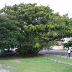
Fig Tree, Gladstone
50.8 km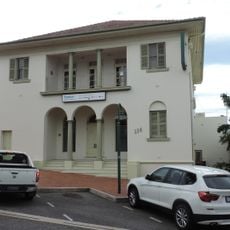
Commonwealth Bank Building, Gladstone
50.6 km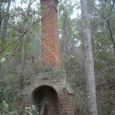
Glassford Creek Smelter Sites
30.2 km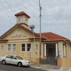
Gladstone Post Office
50.9 km
Gladstone Central State School, Block B
50.8 km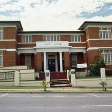
Gladstone Court House
51 km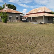
Glengarry Homestead
11.4 km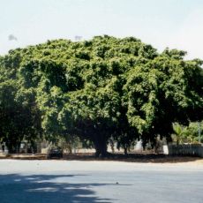
Big Fig, Miriam Vale
36.2 km
Bulburin-Nationalpark
49.7 km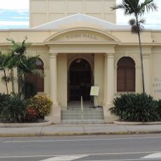
Gladstone Regional Art Gallery and Museum
50.4 km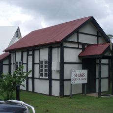
St Luke's Anglican Church, Boyne Island
40.5 km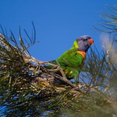
Warro National Park
64.1 km
Kullaroo House
50.9 km
William Wyndham's gravesite
42.6 km
Boyne Island Tannum Sands Golf Course
39.2 km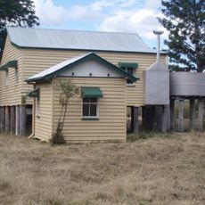
Soldier Settler House
17 km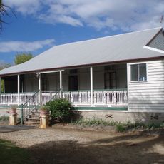
Langmorn Homestead
69 km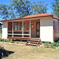
Ventnor State School
68.9 kmBewertungen
Diesen Ort besucht? Tippe auf die Sterne, um ihn zu bewerten und deine Erfahrung oder Fotos mit der Community zu teilen! Jetzt ausprobieren! Sie können jederzeit kündigen.
Entdecke verborgene Schätze auf jedem Abenteuer!
Von charmanten kleinen Cafés bis zu versteckten Aussichtspunkten – entfliehe dem Touristentrubel und finde Orte, die wirklich zu dir passen. Unsere App macht's dir leicht: Sprachsuche, clevere Filter, optimierte Routen und echte Geheimtipps von Reisenden weltweit. Jetzt runterladen und das Abenteuer mobil erleben!

Ein neuer Ansatz für touristische Entdeckungen❞
— Le Figaro
Alle Orte, die eine Entdeckung wert sind❞
— France Info
Ein maßgeschneiderter Ausflug mit nur wenigen Klicks❞
— 20 Minutes