
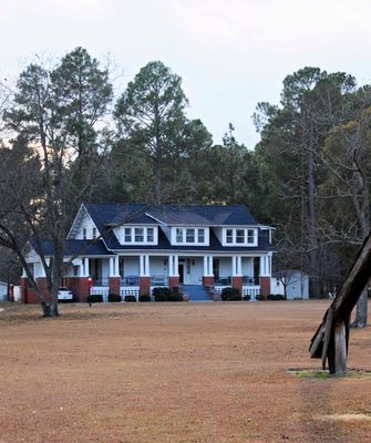
John Hayes Farmstead
John Hayes Farmstead, Latta, South Carolina, listed on the NRHP in Dillon County
Ort: Dillon County
GPS Koordinaten: 34.33720,-79.52470
Neueste Aktualisierung: 23. September 2025 um 15:48
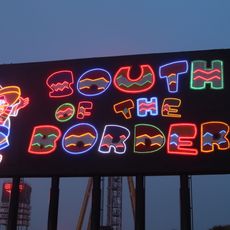
South of the Border
26.6 km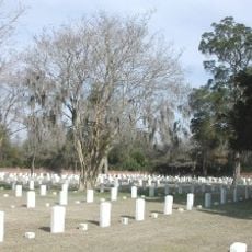
Florence National Cemetery
27.1 km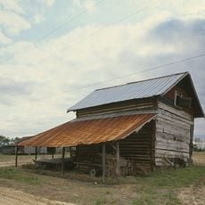
Smith Tobacco Barn
25 km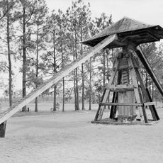
Early Cotton Press
98 m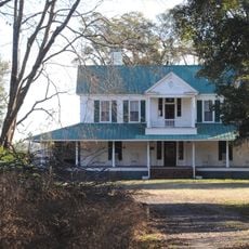
Roseville Plantation
17.6 km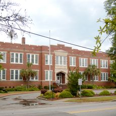
Marion High School
20.4 km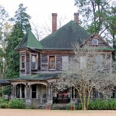
Clio Historic District
27 km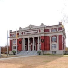
Dillon County Courthouse
16.4 km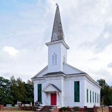
St. Paul's Methodist Church
19.2 km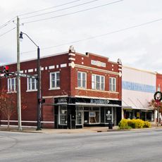
Dillon Downtown Historic District
8.5 km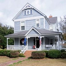
James W. Dillon House
16.5 km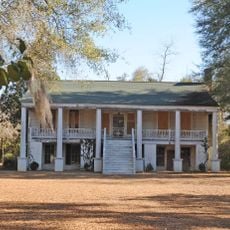
Red Doe
21.3 km
Hamer Hall
24.6 km
Latta Historic District No. 1
8.3 km
James W. Hamer House
18 km
Claussen House
24.6 km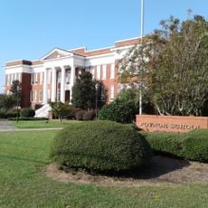
Poynor School
27.3 km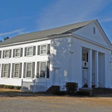
Hopewell Presbyterian Church and Hopewell Cemetery
25 km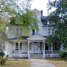
McMillan House
8.2 km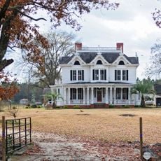
McLaurin House
27.4 km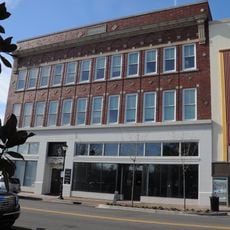
Florence Downtown Historic District
27.1 km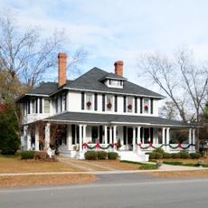
Latta Historic District No. 2
8.7 km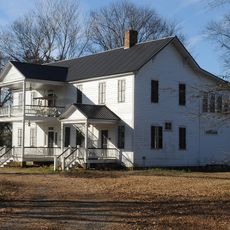
Blooming Grove
19 km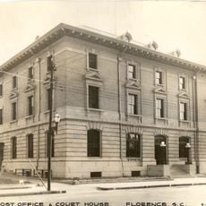
U. S. Post Office
27.3 km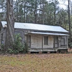
Gregg-Wallace Farm Tenant House
19.1 km
Selkirk Farm
14.7 km
Florence County Museum
27.2 km
Marion Historic District
21.2 kmBewertungen
Diesen Ort besucht? Tippe auf die Sterne, um ihn zu bewerten und deine Erfahrung oder Fotos mit der Community zu teilen! Jetzt ausprobieren! Sie können jederzeit kündigen.
Entdecke verborgene Schätze auf jedem Abenteuer!
Von charmanten kleinen Cafés bis zu versteckten Aussichtspunkten – entfliehe dem Touristentrubel und finde Orte, die wirklich zu dir passen. Unsere App macht's dir leicht: Sprachsuche, clevere Filter, optimierte Routen und echte Geheimtipps von Reisenden weltweit. Jetzt runterladen und das Abenteuer mobil erleben!

Ein neuer Ansatz für touristische Entdeckungen❞
— Le Figaro
Alle Orte, die eine Entdeckung wert sind❞
— France Info
Ein maßgeschneiderter Ausflug mit nur wenigen Klicks❞
— 20 Minutes