
Wall Beach, Strand in Kanada
Ort: British Columbia
GPS Koordinaten: 49.30044,-124.22251
Neueste Aktualisierung: 21. März 2025 um 09:13
MacMillan Provincial Park
31.9 km
Englishman River Falls Provincial Park
11.1 km
Horne Lake Caves Provincial Park
39 km
Smuggler Cove Marine Provincial Park
30.8 km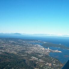
Saysutshun (Newcastle Island Marine) Provincial Park
24.2 km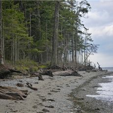
Rathtrevor Beach Provincial Park
4.3 km
Jedediah Island Marine Provincial Park
22.5 km
Little Qualicum Falls Provincial Park
27.4 km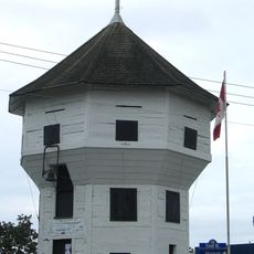
Bastion
25.6 km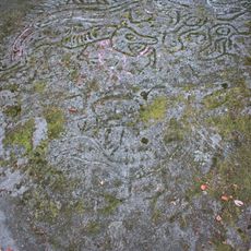
Petroglyph Provincial Park
27.9 km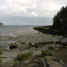
Tribune Bay Provincial Park
39.7 km
Lighthouse Pub
39.2 km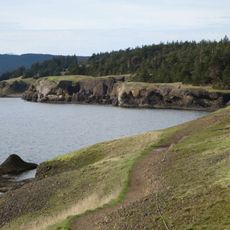
Helliwell Provincial Park
36.7 km
Porpoise Bay Provincial Park
41.4 km
Cowichan
38.6 km
Cable Bay Trail
34.6 km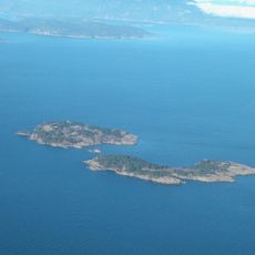
Ballenas Island Light
7.2 km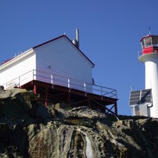
Chrome Island lighthouse
38.5 km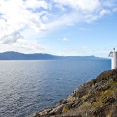
Francis Point Provincial Park
36.5 km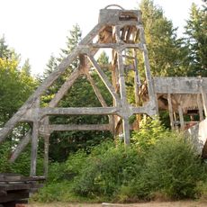
Morden Colliery Historic Provincial Park
34.2 km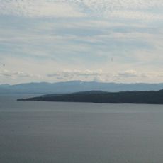
South Texada Island Provincial Park
24.6 km
Arbutus Grove Provincial Park
7.7 km
Gabriola Sands Provincial Park
28.9 km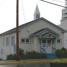
Christian Science Society
25.3 km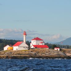
Entrance Island Lighthouse
31.8 km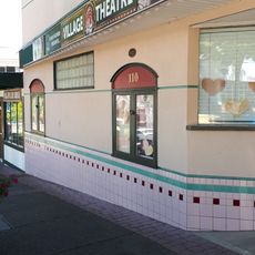
Village Theatre
16.8 km
Qualicum Beach Branch
16.9 km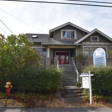
Reid House
25.4 kmBewertungen
Diesen Ort besucht? Tippe auf die Sterne, um ihn zu bewerten und deine Erfahrung oder Fotos mit der Community zu teilen! Jetzt ausprobieren! Sie können jederzeit kündigen.
Entdecke verborgene Schätze auf jedem Abenteuer!
Von charmanten kleinen Cafés bis zu versteckten Aussichtspunkten – entfliehe dem Touristentrubel und finde Orte, die wirklich zu dir passen. Unsere App macht's dir leicht: Sprachsuche, clevere Filter, optimierte Routen und echte Geheimtipps von Reisenden weltweit. Jetzt runterladen und das Abenteuer mobil erleben!

Ein neuer Ansatz für touristische Entdeckungen❞
— Le Figaro
Alle Orte, die eine Entdeckung wert sind❞
— France Info
Ein maßgeschneiderter Ausflug mit nur wenigen Klicks❞
— 20 Minutes