
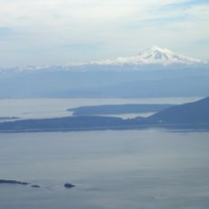
Lovers Bluff, cliff in Whatcom County, Washington, United States of America
Ort: Whatcom County
GPS Koordinaten: 48.71306,-122.69972
Neueste Aktualisierung: 3. März 2025 um 13:24
Mount Constitution
10.4 km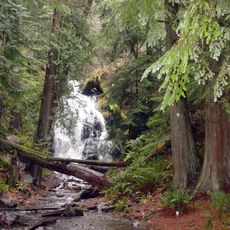
Moran State Park
10.7 km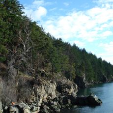
Larrabee State Park
18.4 km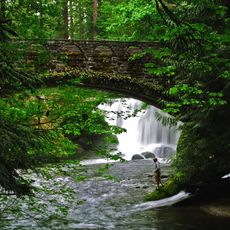
Whatcom Falls Park
20.3 km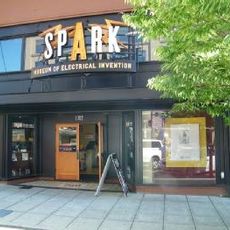
SPARK Museum of Electrical Invention
16.7 km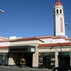
Mount Baker Theatre
16.9 km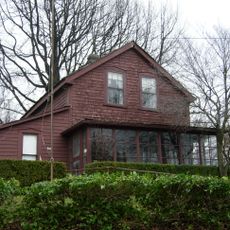
Pickett House
16.4 km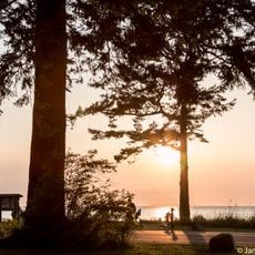
Birch Bay State Park
21.7 km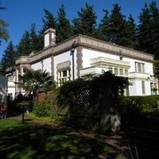
Lairmont Manor
14.2 km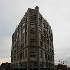
Flatiron Building
16.6 km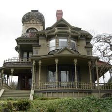
Gamwell House
15 km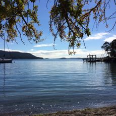
Obstruction Pass State Park
15.3 km
Whatcom Museum of History and Art
16.7 km
Rosario
14.8 km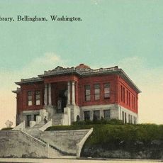
Bellingham Public Library
19.9 km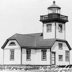
Patos Island Lighthouse
21.7 km
Bellingham National Bank Building
16.7 km
B. P. O. E. Building
16.9 km
Blind Island Marine State Park
22.5 km
T. G. Richards and Company Store
16.4 km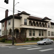
Aftermath Clubhouse
16.1 km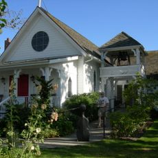
Emmanuel Episcopal Church
15.4 km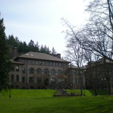
Old Main
16.2 km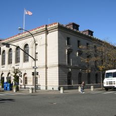
United States Post Office and Courthouse
17 km
J. J. Donovan House
16.9 km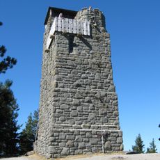
Mount Constitution Lookout Tower
10.4 km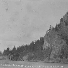
Eagle Cliff
12.5 km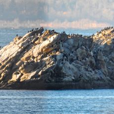
Chuckanut Rock
14.9 kmBewertungen
Diesen Ort besucht? Tippe auf die Sterne, um ihn zu bewerten und deine Erfahrung oder Fotos mit der Community zu teilen! Jetzt ausprobieren! Sie können jederzeit kündigen.
Entdecke verborgene Schätze auf jedem Abenteuer!
Von charmanten kleinen Cafés bis zu versteckten Aussichtspunkten – entfliehe dem Touristentrubel und finde Orte, die wirklich zu dir passen. Unsere App macht's dir leicht: Sprachsuche, clevere Filter, optimierte Routen und echte Geheimtipps von Reisenden weltweit. Jetzt runterladen und das Abenteuer mobil erleben!

Ein neuer Ansatz für touristische Entdeckungen❞
— Le Figaro
Alle Orte, die eine Entdeckung wert sind❞
— France Info
Ein maßgeschneiderter Ausflug mit nur wenigen Klicks❞
— 20 Minutes