
Commissariat Office, millitary building in Amherstburg, Ontario
Ort: Amherstburg
Gründung: 1830s
Teil von: Amherstburg Royal Naval Dockyard
GPS Koordinaten: 42.10326,-83.11378
Neueste Aktualisierung: 7. März 2025 um 12:55

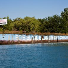
Boblo Island Amusement Park
1.1 km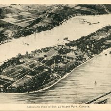
Bois Blanc Island
913 m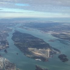
Grosse Ile
4.9 km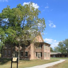
Fort Malden
438 m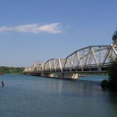
Grosse Ile Toll Bridge
8.6 km
Lake Erie Metropark
8.8 km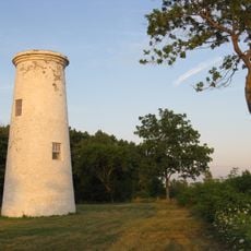
Bois Blanc Island Lighthouse and Blockhouse
1.8 km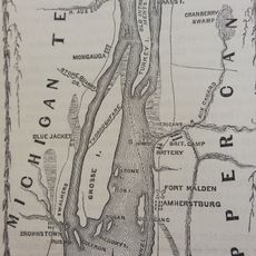
Fort Amherstburg
421 m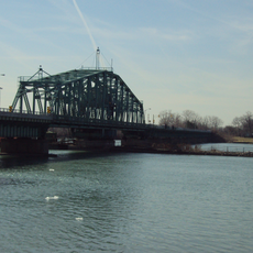
Wayne County Bridge
5.8 km
Sugar Island
2.8 km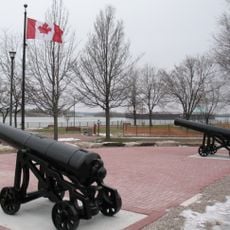
Amherstburg Royal Naval Dockyard
196 m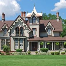
East River Road Historic District
3.4 km
St. James Episcopal Church
3.4 km
Jefferson Avenue-Huron River and Harbin Drive-Silver Creek Canal Bridges
10.7 km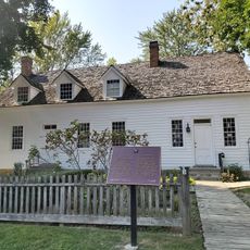
Park House Museum
53 m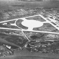
Calf Island
5.4 km
Gibraltar Road–Waterway Canal Bridge
6.4 km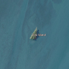
Fox Island
2.3 km
Parke Lane Road–Thorofare Canal Bridge
7.6 km
East River Road–North Hickory Canal Bridge
3.1 km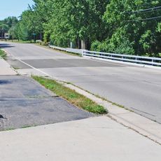
South Pointe Drive–Frenchman's Creek Bridge
4.8 km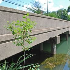
Ferry Street–Thorofare Canal Bridge
5.2 km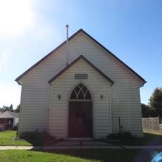
Amherstburg First Baptist Church
670 m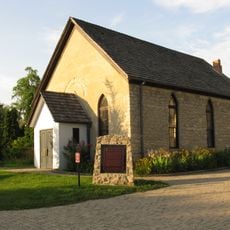
Nazrey African Methodist Episcopal Church
676 m
Bois Blanc Island Lighthouse
1.9 km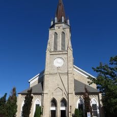
St. John the Baptist Church
832 m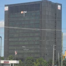
Southgate Tower
11.4 km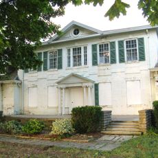
Belle Vue
1.1 kmDiesen Ort besucht? Tippe auf die Sterne, um ihn zu bewerten und deine Erfahrung oder Fotos mit der Community zu teilen! Jetzt ausprobieren! Sie können jederzeit kündigen.
Entdecke verborgene Schätze auf jedem Abenteuer!
Von charmanten kleinen Cafés bis zu versteckten Aussichtspunkten – entfliehe dem Touristentrubel und finde Orte, die wirklich zu dir passen. Unsere App macht's dir leicht: Sprachsuche, clevere Filter, optimierte Routen und echte Geheimtipps von Reisenden weltweit. Jetzt runterladen und das Abenteuer mobil erleben!

Ein neuer Ansatz für touristische Entdeckungen❞
— Le Figaro
Alle Orte, die eine Entdeckung wert sind❞
— France Info
Ein maßgeschneiderter Ausflug mit nur wenigen Klicks❞
— 20 Minutes