
Upper Violet Creek Provincial Park, Canadian provincial park
Ort: Regional District of North Okanagan
GPS Koordinaten: 50.65000,-119.10000
Neueste Aktualisierung: 1. April 2025 um 02:44
BC Wildlife Park
69.2 km
Bear Creek Provincial Park
85.5 km
Ellison Provincial Park
58.1 km
Predator Ridge Resort
55.3 km
Fintry Provincial Park and Protected Area
64.1 km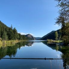
Paul Lake Provincial Park
73.3 km
Tsútswecw Provincial Park
46 km
Mount Mackenzie
79.2 km
Kalamalka Lake Provincial Park
53.2 km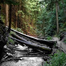
Herald Provincial Park
16.4 km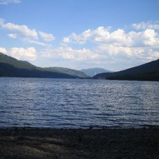
Adams Lake Provincial Park
58.1 km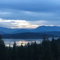
White Lake Provincial Park
29 km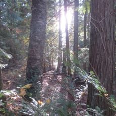
Mara Provincial Park
8.8 km
Blanket Creek Provincial Park
74.5 km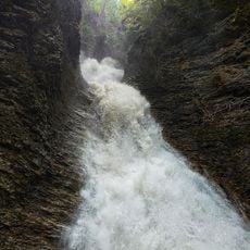
Sunnybrae Provincial Park
19.2 km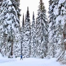
Silver Star Provincial Park
30.6 km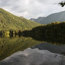
Monashee Provincial Park
61.9 km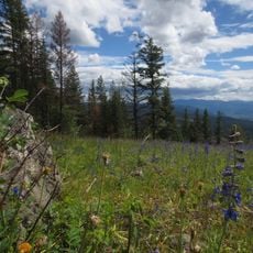
Wrinkly Face Provincial Park
69.5 km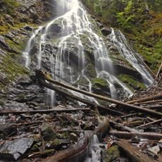
Mabel Lake Provincial Park
33.9 km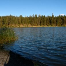
Roche Lake Provincial Park
77 km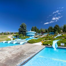
Atlantis Waterslides
36.5 km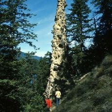
Pillar Provincial Park
38.2 km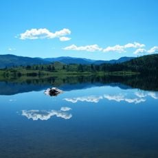
Niskonlith Lake Provincial Park
50.5 km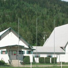
St. Peter’s Anglican Church (Revelstoke)
74.3 km
Predator Ridge
55 km
Fintry Provincial Park
64 km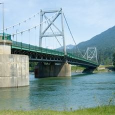
Revelstoke Bridge
73.5 km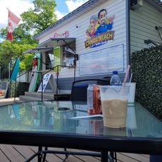
Canoe Beach
15.5 kmBewertungen
Diesen Ort besucht? Tippe auf die Sterne, um ihn zu bewerten und deine Erfahrung oder Fotos mit der Community zu teilen! Jetzt ausprobieren! Sie können jederzeit kündigen.
Entdecke verborgene Schätze auf jedem Abenteuer!
Von charmanten kleinen Cafés bis zu versteckten Aussichtspunkten – entfliehe dem Touristentrubel und finde Orte, die wirklich zu dir passen. Unsere App macht's dir leicht: Sprachsuche, clevere Filter, optimierte Routen und echte Geheimtipps von Reisenden weltweit. Jetzt runterladen und das Abenteuer mobil erleben!

Ein neuer Ansatz für touristische Entdeckungen❞
— Le Figaro
Alle Orte, die eine Entdeckung wert sind❞
— France Info
Ein maßgeschneiderter Ausflug mit nur wenigen Klicks❞
— 20 Minutes