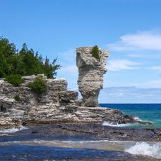
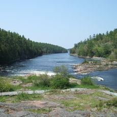
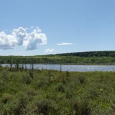
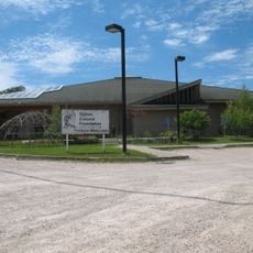
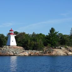
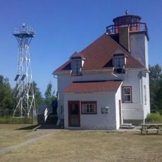
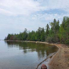
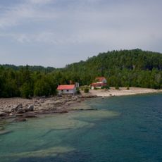
Billings, Siedlung in Kanada
Die Community neugieriger Reisender
AroundUs vereint tausende ausgewählte Orte, lokale Tipps und versteckte Schätze, täglich bereichert von über 60,000 Mitwirkenden weltweit.
Gründung
1884
Grenzt an
Unorganized South East Algoma District, Northeastern Manitoulin and the Islands, Central Manitoulin
Website
GPS Koordinaten
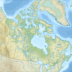
45.90000,-82.25000
Neueste Aktualisierung
27. März 2025 um 22:36