
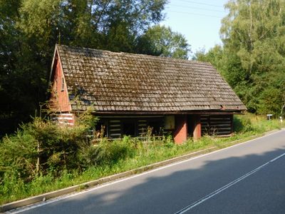
Rudník 243, house in Trutnov District
Ort: Rudník
Adresse: Rudník 243, 543 72 Rudník
GPS Koordinaten: 50.58548,15.73257
Neueste Aktualisierung: 3. März 2025 um 07:13
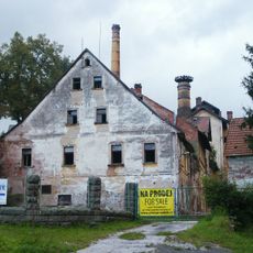
Rudník chateau/brewery
1.1 km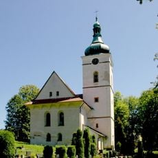
Church of Saint Wenceslaus
1.3 km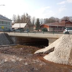
Bridge of I/14 road over the Bolkovský potok in Rudník near house no. 54
834 m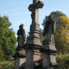
Sousoší Kalvárie
586 m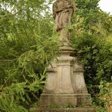
Socha svatého Jana Nepomuckého
1.3 km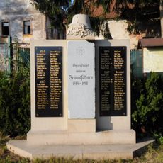
World War I memorial in Rudník
1.1 km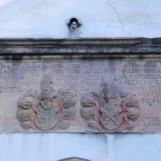
Relief with coats of arms of Hannibal Waldstein and Kateřina Berková z Dubé
1.2 km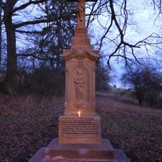
Lath's cross
624 m
Dům čp. 482
1.2 km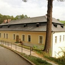
Rectory in Rudník
1.2 km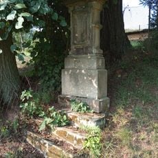
Cross in Rudník
261 m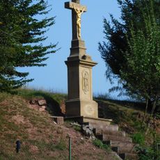
Wayside cross in Rudník
916 m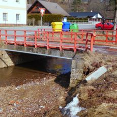
Bridge over Luční potok in Rudník near no. 239
950 m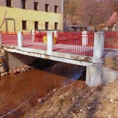
Bridge over Luční potok in Rudník near no. 54
829 m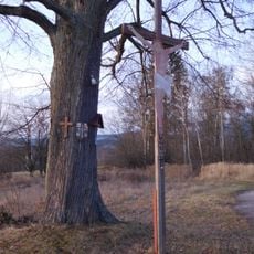
Cross near Janovice
1.1 km
Vycházkový okruh Pastviny
852 m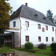
Tvrz
364 m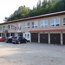
Rudník municipal office
936 m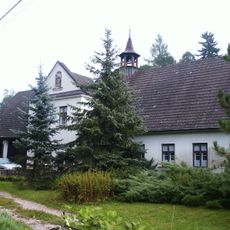
Usedlost čp. 24
1.2 km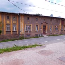
Rudník 128
1.1 km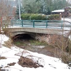
Bridge of road I/14 over the Bolkovský potok in Rudník near house no. 129
1 km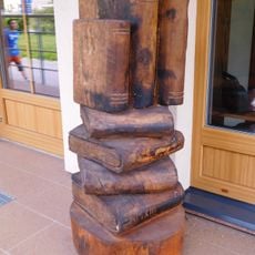
Sculpture in front of library in Rudník
770 m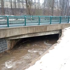
Bridge of road I/14 over the Bolkovský potok in Rudník near house no. 449
915 m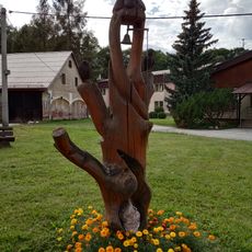
Bell tower in Rudník
839 m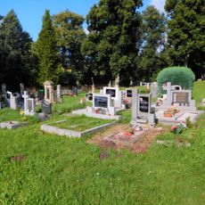
Cemetery in Rudník
1.3 km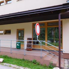
Library in Rudník
769 m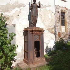
Eugenie Erich gravestone
1.2 km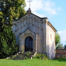
Cemetery chapel in Rudník
1.3 kmBewertungen
Diesen Ort besucht? Tippe auf die Sterne, um ihn zu bewerten und deine Erfahrung oder Fotos mit der Community zu teilen! Jetzt ausprobieren! Sie können jederzeit kündigen.
Entdecke verborgene Schätze auf jedem Abenteuer!
Von charmanten kleinen Cafés bis zu versteckten Aussichtspunkten – entfliehe dem Touristentrubel und finde Orte, die wirklich zu dir passen. Unsere App macht's dir leicht: Sprachsuche, clevere Filter, optimierte Routen und echte Geheimtipps von Reisenden weltweit. Jetzt runterladen und das Abenteuer mobil erleben!

Ein neuer Ansatz für touristische Entdeckungen❞
— Le Figaro
Alle Orte, die eine Entdeckung wert sind❞
— France Info
Ein maßgeschneiderter Ausflug mit nur wenigen Klicks❞
— 20 Minutes