
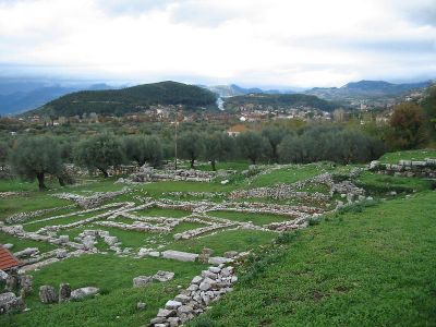
Thermo Municipality, municipality in West Greece region, Greece
Ort: Aetolia-Acarnania Regional Unit
GPS Koordinaten: 38.58313,21.65724
Neueste Aktualisierung: 14. März 2025 um 23:05
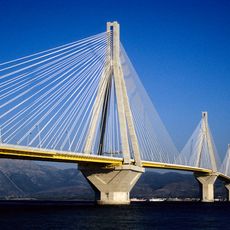
Rio-Antirrio-Brücke
30.8 km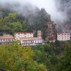
Kloster Prousou
18.5 km
Monastery of Panagia Varnakovas
29.4 km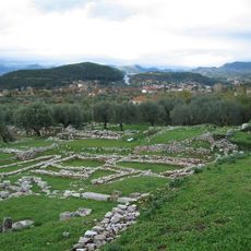
Thermos
2.8 km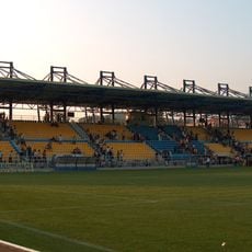
Panetolikos Stadium
22 km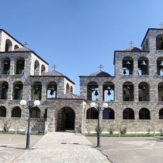
Monastery of Saint Augustine and Seraphim of Sarof
26.6 km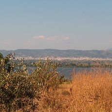
Lysimachia-See
25.6 km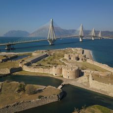
Rio Castle
32.1 km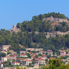
Nafpaktos Castle
25.4 km
Fethiye Mosque
26 km
Παπαστράτειο δημοτικό πάρκο
22.3 km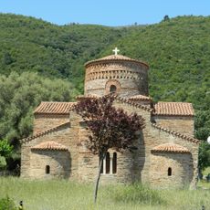
Church of Panagia of Panaxiotissa at Gavrolimni
20.8 km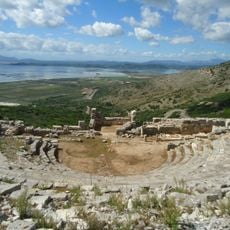
Ancient Greek theatre of Pleuron
28.7 km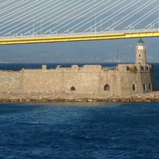
Antirrio Fortress
29.9 km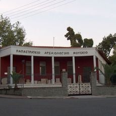
Archaeological Museum of Agrinio
22.2 km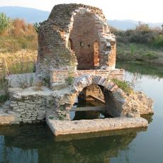
Agia Triada of Mavrika
22.5 km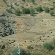
Ancient theater of Calydon
26 km
Calydon Fortress
25.3 km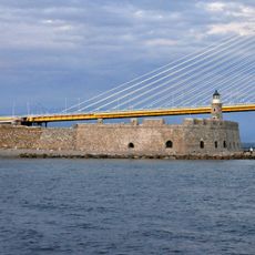
Lighthouse of Antirrio
30 km
Tower of Paravola
11.9 km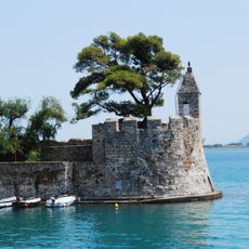
Lighthouse of Nafpaktos
26 km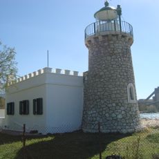
Lighthouse of Drepano
31.9 km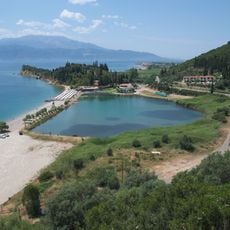
Chiliadou
31.2 km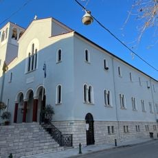
Metropolitan cathedral of Saint Demetrius, Nafpaktos
25.9 km
Agios Thomas Roman baths
28.2 km
Botsaris Tower
25.8 km
Clock - Bell tower in Nafpaktos
25.8 km
Voukatio
11.9 kmBewertungen
Diesen Ort besucht? Tippe auf die Sterne, um ihn zu bewerten und deine Erfahrung oder Fotos mit der Community zu teilen! Jetzt ausprobieren! Sie können jederzeit kündigen.
Entdecke verborgene Schätze auf jedem Abenteuer!
Von charmanten kleinen Cafés bis zu versteckten Aussichtspunkten – entfliehe dem Touristentrubel und finde Orte, die wirklich zu dir passen. Unsere App macht's dir leicht: Sprachsuche, clevere Filter, optimierte Routen und echte Geheimtipps von Reisenden weltweit. Jetzt runterladen und das Abenteuer mobil erleben!

Ein neuer Ansatz für touristische Entdeckungen❞
— Le Figaro
Alle Orte, die eine Entdeckung wert sind❞
— France Info
Ein maßgeschneiderter Ausflug mit nur wenigen Klicks❞
— 20 Minutes