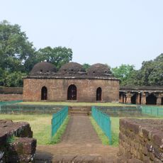
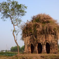
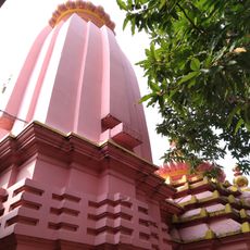
Jhargram subdivision, subdivision in West Bengal, India
Ort: Jhargram district
GPS Koordinaten: 22.45000,86.98000
Neueste Aktualisierung: 4. März 2025 um 10:06
Kurumbera Fort
49.3 km
Nehru Museum of Science and Technology
37.5 km
Medinipur Baptist Church
35.3 km
Rameshwar temple
34.6 km
Sitala temple
45.5 km
St. John's Church
34.1 km
Jhareshwarnath Shiva temple
46.6 km
Dharmaraj temple
45.1 km
Shyamsundar temple
38.6 km
Tomb of John Pierce
34.6 km
Mahamaya temple
39.1 km
Dakshinakali temple
32.5 km
Radha Krishna temple
46.6 km
Dandeshwar temple
39.1 km
Navratna Temple Complex
45.3 km
Lakshmi Varaha temple
54.1 km
Fort ruins of Rani Shiromani
38.6 km
Kashishwar Shiva temple
44.8 km
Sarbamangala temple
44.8 km
Ram Sita temple of Pati family
46.5 km
Jagannath temple
45.2 km
Sitraramjiu temple
54.1 km
Dharmaraj temple
54.1 km
Jogmaya temple
39.1 km
Nandeshwar temple
32.3 km
Balaramjiu temple
52.9 km
Temples of Bandyopadhyay Family
45.4 km
Chilkigarh Rajbari
10.6 kmBewertungen
Diesen Ort besucht? Tippe auf die Sterne, um ihn zu bewerten und deine Erfahrung oder Fotos mit der Community zu teilen! Jetzt ausprobieren! Sie können jederzeit kündigen.
Jhargram
Jhargram community development block
Binpur I community development block
Binpur II community development block
Jamboni community development block
Nayagram community development block
Sankrail community development block
Gopiballavpur I community development block
Gopiballavpur II community development block
Entdecke verborgene Schätze auf jedem Abenteuer!
Von charmanten kleinen Cafés bis zu versteckten Aussichtspunkten – entfliehe dem Touristentrubel und finde Orte, die wirklich zu dir passen. Unsere App macht's dir leicht: Sprachsuche, clevere Filter, optimierte Routen und echte Geheimtipps von Reisenden weltweit. Jetzt runterladen und das Abenteuer mobil erleben!
Ein neuer Ansatz für touristische Entdeckungen❞
— Le Figaro
Alle Orte, die eine Entdeckung wert sind❞
— France Info
Ein maßgeschneiderter Ausflug mit nur wenigen Klicks❞
— 20 Minutes