
Taujėnai, Siedlung in Litauen
Ort: Ukmergė District Municipality
Gründung: 1595
Höhe über dem Meer: 78 m
GPS Koordinaten: 55.39056,24.76000
Neueste Aktualisierung: 6. März 2025 um 14:04


Taujėnai Manor
741 m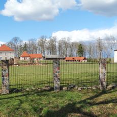
Pienionys Manor
11.9 km
Užugirio dvaras
13 km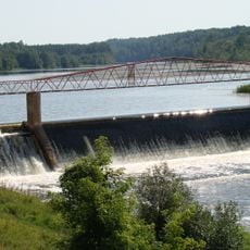
Kavarsko tvenkinys
13 km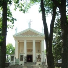
Church of the Exaltation of the Holy Cross, Taujėnai
12 m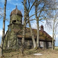
Old Believers Church in Girelė
9 km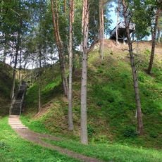
Daumantai outcrop
15.6 km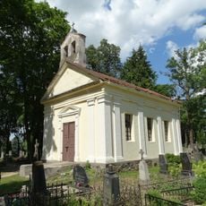
Vaižgantas cemetery chapel, Ukmergė
14.7 km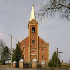
Holy Name of Jesus church in Šilai
15 km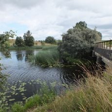
Kadrėnų tvenkinys
10.1 km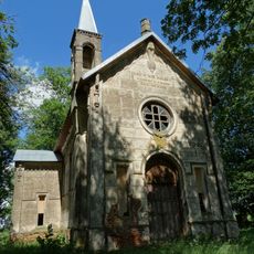
Bernotiškiai Chapel
10.3 km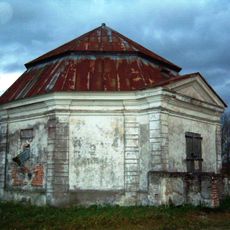
Janapolio dvaras
14.9 km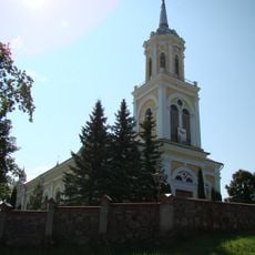
Church of St. John the Baptist, Kavarskas
11.6 km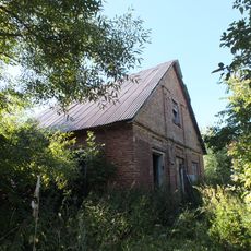
Jokūbava manor
12.8 km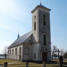
Church of St. Anthony of Padua, Lėnas
12.4 km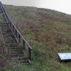
Svirnų piliakalnis
8.6 km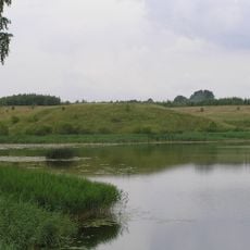
Pienionių tvenkinys
10.3 km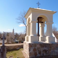
Kavarskas cemetery chapel
11.9 km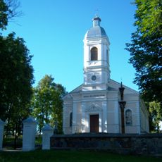
Church of St. Anne, Traupis
13.6 km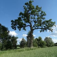
Lentvorų ąžuolas
14.7 km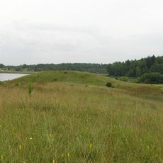
Šovenių piliakalnis
10.1 km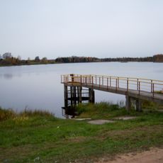
Dabužių tvenkinys
16.3 km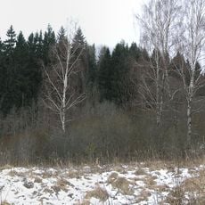
Marijampolio piliakalnis
10.5 km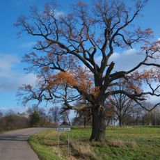
Viškonių ąžuolas
8.5 km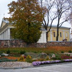
Church of the Holy Trinity, Vidiškiai
11.5 km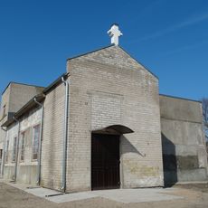
Balelių šv. Jono Pauliaus II koplyčia
8.1 km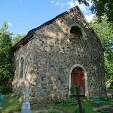
Chapel in Lygumai
11.6 km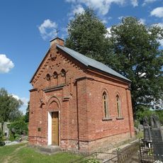
Vidiškiai cemetery chapel
11.6 kmDiesen Ort besucht? Tippe auf die Sterne, um ihn zu bewerten und deine Erfahrung oder Fotos mit der Community zu teilen! Jetzt ausprobieren! Sie können jederzeit kündigen.
Entdecke verborgene Schätze auf jedem Abenteuer!
Von charmanten kleinen Cafés bis zu versteckten Aussichtspunkten – entfliehe dem Touristentrubel und finde Orte, die wirklich zu dir passen. Unsere App macht's dir leicht: Sprachsuche, clevere Filter, optimierte Routen und echte Geheimtipps von Reisenden weltweit. Jetzt runterladen und das Abenteuer mobil erleben!

Ein neuer Ansatz für touristische Entdeckungen❞
— Le Figaro
Alle Orte, die eine Entdeckung wert sind❞
— France Info
Ein maßgeschneiderter Ausflug mit nur wenigen Klicks❞
— 20 Minutes