
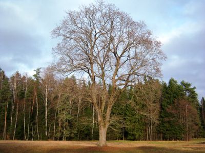
Vaičiūnų klevas
Ort: Kaunas District Municipality
GPS Koordinaten: 54.95982,23.52720
Neueste Aktualisierung: 25. September 2025 um 08:40
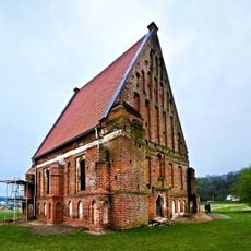
Old Church of St. John the Baptist, Zapyškis
8.8 km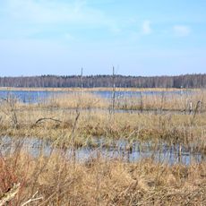
Novaraistis Ornithological Reserve
7.4 km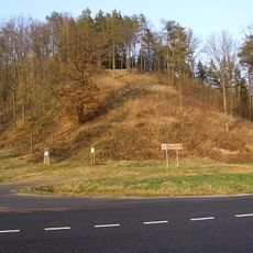
Ringovės piliakalnis
10.2 km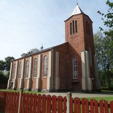
New Church of St. John the Baptist, Zapyškis
8.6 km
Church of St. George, Vilkija
9.7 km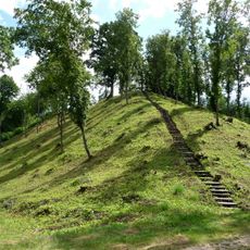
Žemosios Panemunės piliakalnis
11.2 km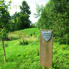
Altoniškiai hillfort
4.7 km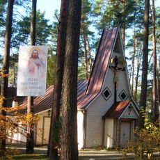
Church of the Holy Name of the Virgin Mary, Kulautuva
7.8 km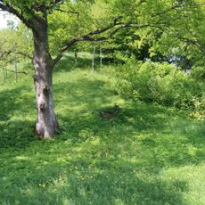
Jaučakių piliakalnis
9.1 km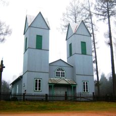
Church of the Immaculate Conception, Braziūkai
8.2 km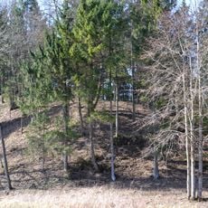
Jadagoniai hillfort
5.4 km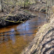
Liekė Landscape Reserve
5.3 km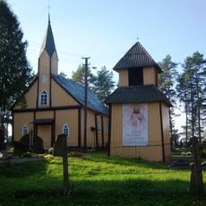
Church of St. Barbara, Paštuva
5.9 km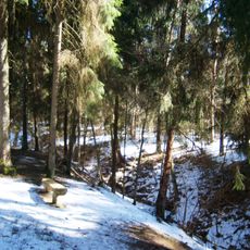
Nerėpa Entomological Reserve
7.9 km
Karklė Ichthyological Reserve
7.3 km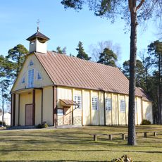
Church of St. Casimir, Lekėčiai
3.3 km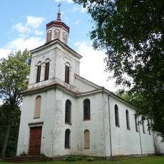
Church of Saint Vincent de Paul, Žemoji Panemunė
10.3 km
Mikytai hillfort, Šakiai
7.4 km
Jadagoniai chapel
4.7 km
Jaučakiai Holocaust Memorial
9 km
Cemetery chapel, Zapyškis
9.7 km
Šėtijai hillfort
5.8 km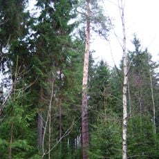
Šilagirio pušis
4.9 km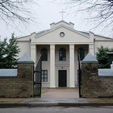
Church of St. Anthony of Padua, Ežerėlis
9.9 km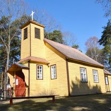
Kretkampis church
8.7 km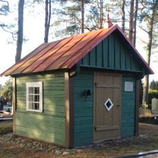
Paštuva cemetery chapel
5.8 km
Rupunionių kapinynas
7.5 km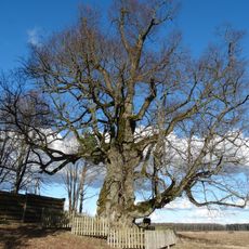
Liepa Motinėlė
8 kmDiesen Ort besucht? Tippe auf die Sterne, um ihn zu bewerten und deine Erfahrung oder Fotos mit der Community zu teilen! Jetzt ausprobieren! Sie können jederzeit kündigen.
Entdecke verborgene Schätze auf jedem Abenteuer!
Von charmanten kleinen Cafés bis zu versteckten Aussichtspunkten – entfliehe dem Touristentrubel und finde Orte, die wirklich zu dir passen. Unsere App macht's dir leicht: Sprachsuche, clevere Filter, optimierte Routen und echte Geheimtipps von Reisenden weltweit. Jetzt runterladen und das Abenteuer mobil erleben!

Ein neuer Ansatz für touristische Entdeckungen❞
— Le Figaro
Alle Orte, die eine Entdeckung wert sind❞
— France Info
Ein maßgeschneiderter Ausflug mit nur wenigen Klicks❞
— 20 Minutes