
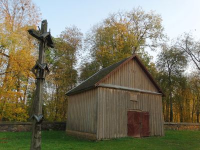
Salos churchyard chapel, chapel in Lithuania
Ort: Rokiškis District Municipality
Ort: Salos
GPS Koordinaten: 55.81197,25.36884
Neueste Aktualisierung: 25. September 2025 um 08:40
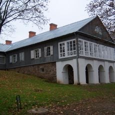
Adomynė Manor
8.1 km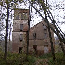
Svėdasai manor
12.6 km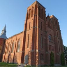
Church of St. Casimir, Kamajai
8.9 km
Rudžių piliakalnis
8.9 km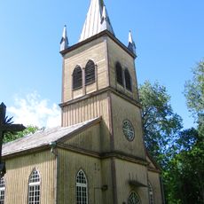
Church of the Holy Cross, Salos
25 m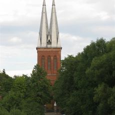
Church of St. Joseph, Panemunėlis
12.6 km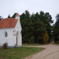
Bajorai chapel
14 km
Salų tuopa
137 m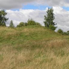
Kereliai hillfort
13 km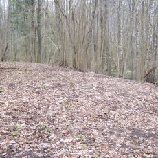
Obonys hillfort
7 km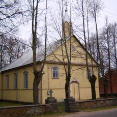
Church of the Holy Name of the Virgin Mary, Adomynė
8.1 km
Juodpėnai chapel
10.4 km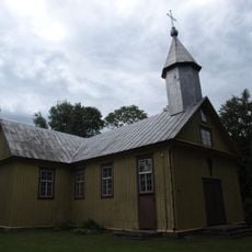
Church of St. Anne, Duokiškis
12.3 km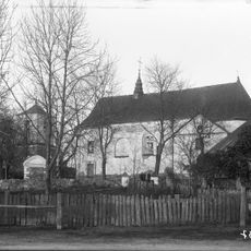
Church of Saint Lawrence in Skapiškis
13.9 km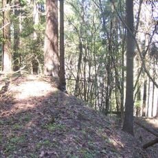
Aluotos hillfort
12.7 km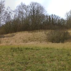
Vaduvos hillfort
6.9 km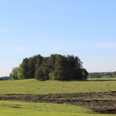
Bugailiškiai hillfort
9.8 km
Rudžių akmuo
9.1 km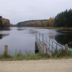
Jotkonių tvenkinys
11.5 km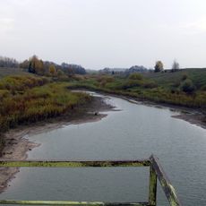
Savičiūnų tvenkinys
11.1 km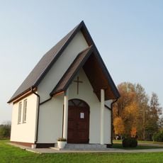
Kalviai chapel
7.8 km
Kamajai churchyard chapel
8.9 km
Mikniūnų akmuo
9.8 km
Gireišiai geodetic marker
10.6 km
Keginių tvenkinys
14 km
Duokiškio tvenkinys
12.8 km
Laukagalių tvenkinys
9 km
Adomynės tvenkinys
8 kmDiesen Ort besucht? Tippe auf die Sterne, um ihn zu bewerten und deine Erfahrung oder Fotos mit der Community zu teilen! Jetzt ausprobieren! Sie können jederzeit kündigen.
Entdecke verborgene Schätze auf jedem Abenteuer!
Von charmanten kleinen Cafés bis zu versteckten Aussichtspunkten – entfliehe dem Touristentrubel und finde Orte, die wirklich zu dir passen. Unsere App macht's dir leicht: Sprachsuche, clevere Filter, optimierte Routen und echte Geheimtipps von Reisenden weltweit. Jetzt runterladen und das Abenteuer mobil erleben!

Ein neuer Ansatz für touristische Entdeckungen❞
— Le Figaro
Alle Orte, die eine Entdeckung wert sind❞
— France Info
Ein maßgeschneiderter Ausflug mit nur wenigen Klicks❞
— 20 Minutes