
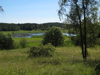
Angarnssjöängen, Naturschutzgebiet in Stockholm, Schweden
Gründung: 15. März 1983
GPS Koordinaten: 59.54708,18.15800
Neueste Aktualisierung: 31. März 2025 um 09:22
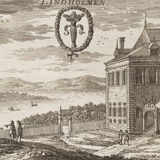
Lindholmens
4.5 km
Runensteine von Lingsberg
1.2 km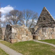
Össeby kyrkoruin
4.9 km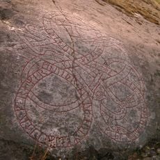
Uppland Runic Inscription 210
1.5 km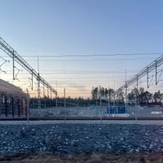
Bahnbetriebswerk Molnby
4.2 km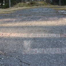
Örstaristningen
797 m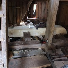
Brottby kvarn
4.6 km
Sjökullarna
4.6 km
Runenplatte von Veda
3.7 km
Uppland Runic Inscription 196
4.3 km
Uppland Runic Inscription 240
1.4 km
Uppland Runic Inscription 241
1.6 km
Uppland Runic Inscription 184
4.9 km
Uppland Runic Inscription 201
1.4 km
Upplands runinskrifter 203
1.4 km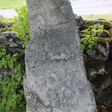
Uppland Runic Inscription 199
4.3 km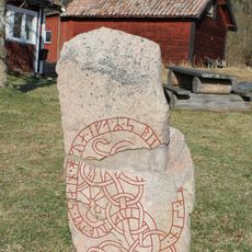
Uppland Runic Inscription 211
715 m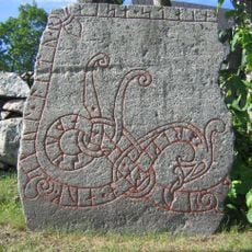
Uppland Runic Inscription 202
1.4 km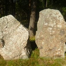
Uppland Runic Inscription 208
2.9 km
Uppland Runic Inscription 207
2.9 km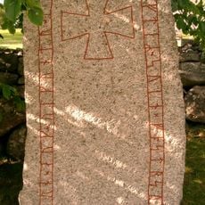
Uppland Runic Inscription 204
1.4 km
Uppland Runic Inscription 242
1.6 km
Uppland Runic Inscription 205
1.3 km
Uppland Runic Inscription 206
1.3 km
Uppland Runic Inscription 233
803 m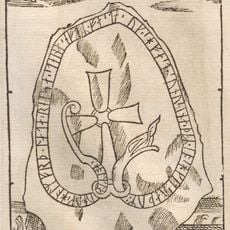
Uppland Runic Inscription 243
4.5 km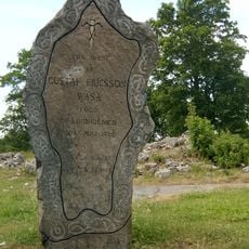
Orkesta 59:1
4.7 km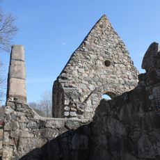
Össeby kyrkoruin
4.9 kmBewertungen
Diesen Ort besucht? Tippe auf die Sterne, um ihn zu bewerten und deine Erfahrung oder Fotos mit der Community zu teilen! Jetzt ausprobieren! Sie können jederzeit kündigen.
Entdecke verborgene Schätze auf jedem Abenteuer!
Von charmanten kleinen Cafés bis zu versteckten Aussichtspunkten – entfliehe dem Touristentrubel und finde Orte, die wirklich zu dir passen. Unsere App macht's dir leicht: Sprachsuche, clevere Filter, optimierte Routen und echte Geheimtipps von Reisenden weltweit. Jetzt runterladen und das Abenteuer mobil erleben!

Ein neuer Ansatz für touristische Entdeckungen❞
— Le Figaro
Alle Orte, die eine Entdeckung wert sind❞
— France Info
Ein maßgeschneiderter Ausflug mit nur wenigen Klicks❞
— 20 Minutes