
East Layton, civil parish in the Richmondshire district of North Yorkshire, England,
Ort: North Yorkshire
GPS Koordinaten: 54.48433,-1.74873
Neueste Aktualisierung: 29. April 2025 um 18:20
Forcett Hall
2.6 km
Stanwick Camp
2.5 km
Ravensworth Castle
3.6 km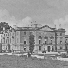
Stanwick Park
2.6 km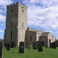
St John the Baptist's Church, Stanwick
3 km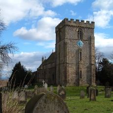
St James' Church, Melsonby
4 km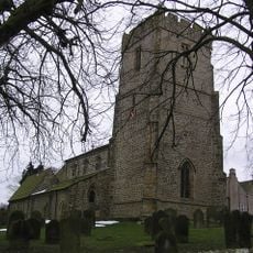
Church of St Peter and St Felix
4.1 km
Church of St Cuthbert
2.6 km
Christ Church
73 m
Church of St Paul
4.1 km
Roman Catholic Church of St Mary
5.3 km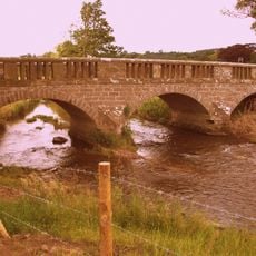
Bridge Over Hartforth Beck
3.8 km
Hartforth Hall
3.5 km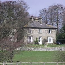
Dunsa Manor
3.2 km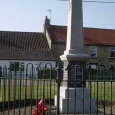
Newsham War Memorial, Richmondshire
5.6 km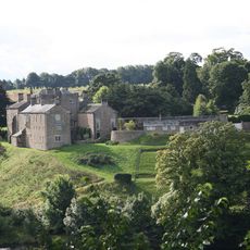
Wycliffe Hall
6.2 km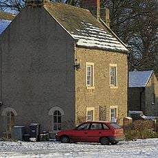
The Old Grammar School And Grammar School House And Attached Wall And Railings
4.1 km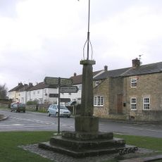
Market Cross And Stocks
5.8 km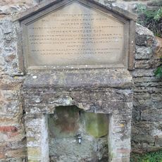
Water Tap And Tablet Opposite Oak Tree Inn
4.5 km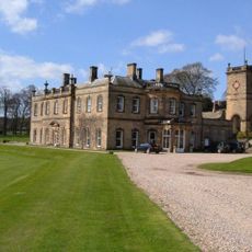
Water Tower Approximately Five Metres To North Of Hartforth Hall
3.5 km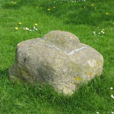
Cross Base
3.1 km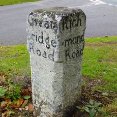
Guide Post Opposite Smallways Inn
5.3 km
Milepost 400 Metres North Of Junction With Pudding Hill Road
5.7 km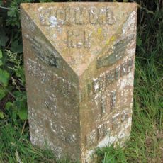
Milepost 400 Metres North Of Junction With Pudding Hill Road
5.7 km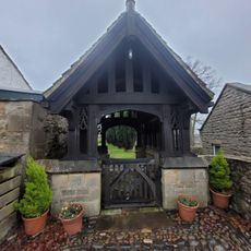
Lych Gate to Church of St Mary
4.5 km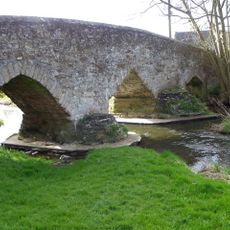
Aldbrough St John Packhorse Bridge
4.1 km
Dovecote
2.8 km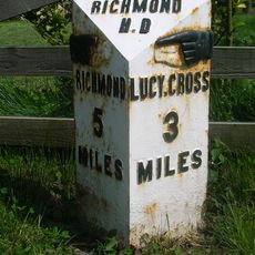
Milestone, S end of Melsonby village
3.9 kmDiesen Ort besucht? Tippe auf die Sterne, um ihn zu bewerten und deine Erfahrung oder Fotos mit der Community zu teilen! Jetzt ausprobieren! Sie können jederzeit kündigen.
Entdecke verborgene Schätze auf jedem Abenteuer!
Von charmanten kleinen Cafés bis zu versteckten Aussichtspunkten – entfliehe dem Touristentrubel und finde Orte, die wirklich zu dir passen. Unsere App macht's dir leicht: Sprachsuche, clevere Filter, optimierte Routen und echte Geheimtipps von Reisenden weltweit. Jetzt runterladen und das Abenteuer mobil erleben!

Ein neuer Ansatz für touristische Entdeckungen❞
— Le Figaro
Alle Orte, die eine Entdeckung wert sind❞
— France Info
Ein maßgeschneiderter Ausflug mit nur wenigen Klicks❞
— 20 Minutes