
Wessington, village and civil parish in North East Derbyshire, England
GPS Koordinaten: 53.11597,-1.44664
Neueste Aktualisierung: 14. März 2025 um 04:10

Wingfield Manor
3 km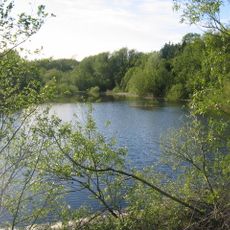
Ogston Reservoir
2.5 km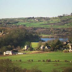
Ogston Hall
2.1 km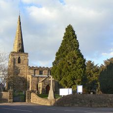
Church of St Mary
3.9 km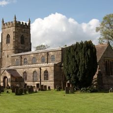
All Saints' Church, South Wingfield
2.3 km
St Leonard's Church
2.9 km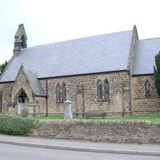
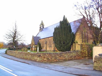
Christ Church
223 m
Holy Trinity Church
1.2 km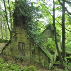
Ruins of Trinity Chapel
2 km
Sherwood Foresters Memorial Tower
3.7 km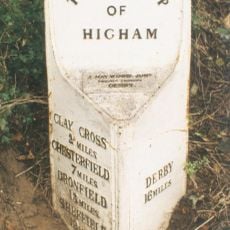
Mile Post 14 Metres North Of Quarry Farmhouse, Higham
2.5 km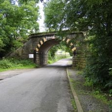
Amber Mill Bridge (Spc8 61)
1.9 km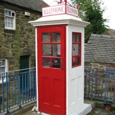
K1 Telephone Box At The National Tramway Museum
4 km
Wingfield Hall
2.8 km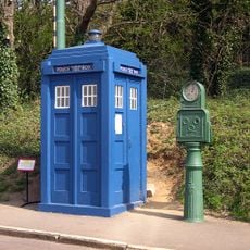
Metropolitan Police Public Call Post At The National Tramway Museum
3.9 km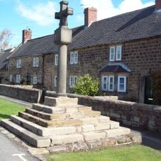
Village Cross, Higham
2.3 km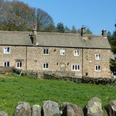
Clattercotes Farmhouse
2.9 km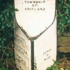
Mile Post 10 Metres South East Of Carr Hill Farmhouse
2.1 km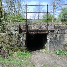
South Wingfield Footpath Bridge (Spc8 56)
2.7 km
Crich Stand Tower
3.7 km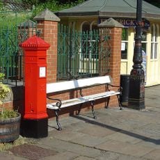
Penfold post box at the National Tramway Museum
3.9 km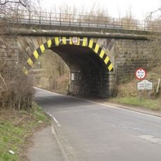
Railway Bridge To The South East Of Dale Bridge
2.1 km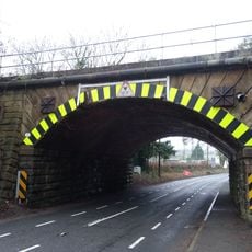
Railway Bridge South Of South Wingfield Stationmaster's House
2.5 km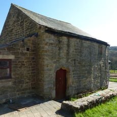
Outbuilding to the south of Clattercotes Farmhouse
2.8 km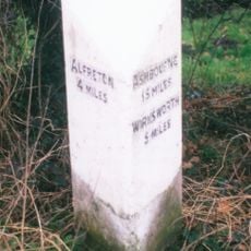
Milepost, bottom of hill, NE of Crich village
3.6 km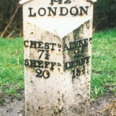
Milepost, roadside at SK393591
2.5 km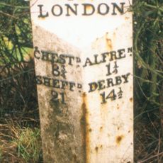
Milepost, roadside at SK404579
3.3 km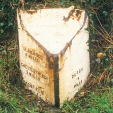
Milepost, S of Toadhole Furnace
2.2 kmDiesen Ort besucht? Tippe auf die Sterne, um ihn zu bewerten und deine Erfahrung oder Fotos mit der Community zu teilen! Jetzt ausprobieren! Sie können jederzeit kündigen.
Entdecke verborgene Schätze auf jedem Abenteuer!
Von charmanten kleinen Cafés bis zu versteckten Aussichtspunkten – entfliehe dem Touristentrubel und finde Orte, die wirklich zu dir passen. Unsere App macht's dir leicht: Sprachsuche, clevere Filter, optimierte Routen und echte Geheimtipps von Reisenden weltweit. Jetzt runterladen und das Abenteuer mobil erleben!

Ein neuer Ansatz für touristische Entdeckungen❞
— Le Figaro
Alle Orte, die eine Entdeckung wert sind❞
— France Info
Ein maßgeschneiderter Ausflug mit nur wenigen Klicks❞
— 20 Minutes