
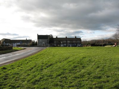
South Kilvington, village and civil parish in North Yorkshire, United Kingdom
Ort: North Yorkshire
GPS Koordinaten: 54.25094,-1.34866
Neueste Aktualisierung: 9. April 2025 um 13:58

The World of James Herriot
1.9 km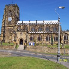
Church of St Mary
1.8 km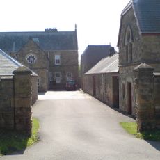
Upsall Castle
4 km
The Three Tuns
2.1 km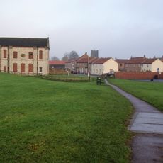
Thirsk Castle
2.1 km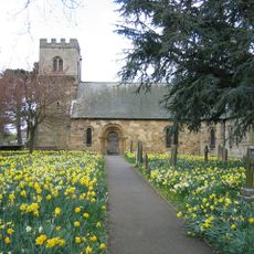
St Oswald's Church
2.8 km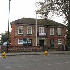
Thirsk Town Hall
2.2 km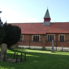
Church of St Lawrence
4.3 km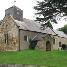
Church of St Wilfrid
116 m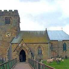
Church of St Felix
4.3 km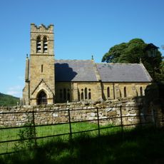
Church of St Wilfrid
5.3 km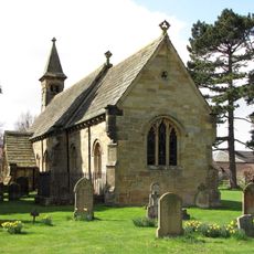
Church of St Leonard
2.4 km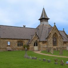
Church of St Mary
5.2 km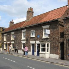
Thirsk Museum
2 km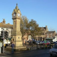
Market Clock By The Post Office
2.1 km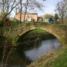
Town End Bridge, Sowerby
3.6 km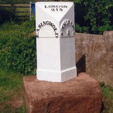
Milestone, 420m SE jct Bagby Lane
6.1 km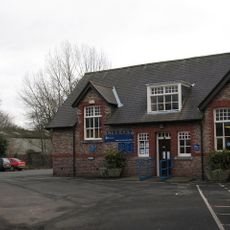
Thirsk Library
2.2 km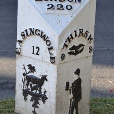
Mile Post Opposite Number 15
2.1 km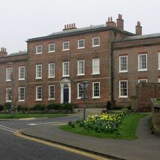
Thirsk Hall
1.9 km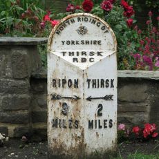
Mile-Post Approximately 50 Metres To South Of School
4.1 km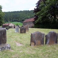
Group Of Font And Two Cross Bases With Shafts Approximately 5 Metres To South West Of Porch Of Church Of St Wilfrid
5.3 km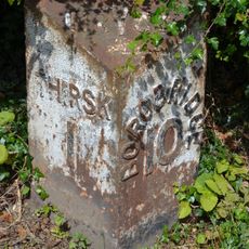
Mile Post East Of Cocked Hat Farm
3.7 km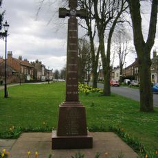
Sowerby War Memorial, North Yorkshire
2.9 km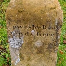
Boundary Stone On East Side Of Junction With Cophill Lane
5.2 km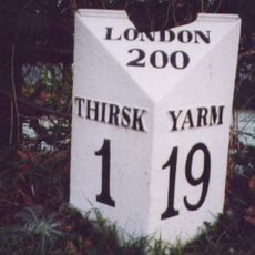
Mile Post Outside Burniston
1.4 km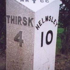
Milepost Approximately 170 Metres To East Of Drive To Whitestone Gardens
6.7 km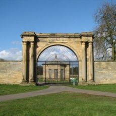
West Lodge Gateway To Thornton Stud With Flanking Walls, Gate, Railings And End Piers
3.2 kmDiesen Ort besucht? Tippe auf die Sterne, um ihn zu bewerten und deine Erfahrung oder Fotos mit der Community zu teilen! Jetzt ausprobieren! Sie können jederzeit kündigen.
Entdecke verborgene Schätze auf jedem Abenteuer!
Von charmanten kleinen Cafés bis zu versteckten Aussichtspunkten – entfliehe dem Touristentrubel und finde Orte, die wirklich zu dir passen. Unsere App macht's dir leicht: Sprachsuche, clevere Filter, optimierte Routen und echte Geheimtipps von Reisenden weltweit. Jetzt runterladen und das Abenteuer mobil erleben!

Ein neuer Ansatz für touristische Entdeckungen❞
— Le Figaro
Alle Orte, die eine Entdeckung wert sind❞
— France Info
Ein maßgeschneiderter Ausflug mit nur wenigen Klicks❞
— 20 Minutes