
California, Ort im US-Bundesstaat Missouri
Ort: Moniteau County
Gründung: 1848
Höhe über dem Meer: 272 m
Website: http://cityofcalifornia.net
GPS Koordinaten: 38.63000,-92.56830
Neueste Aktualisierung: 9. März 2025 um 00:40
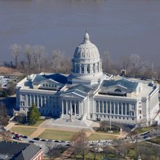
Missouri State Capitol
34.9 km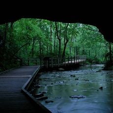
Rock Bridge Memorial State Park
34.6 km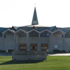
Cathedral of Saint Joseph
31.4 km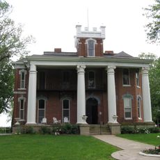
Ravenswood
31.7 km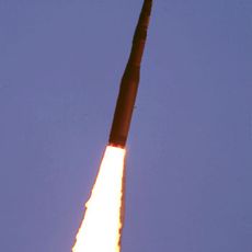
508th Missile Squadron
19.2 km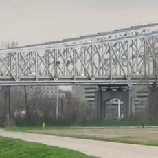
Jefferson City Bridge
34.2 km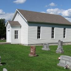
Bond's Chapel Methodist Episcopal Church
26.2 km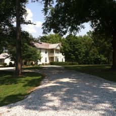
William B. Hunt House
33.2 km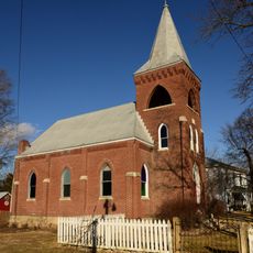
Zion Lutheran Church
29.4 km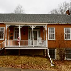
Philip Hess House
34.4 km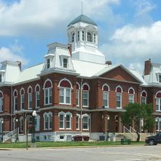
Morgan County Courthouse
33.2 km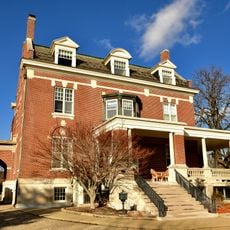
Villa Panorama
33.4 km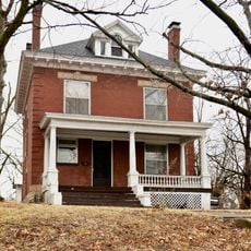
William E. and Frederica M. Zuendt House
34.4 km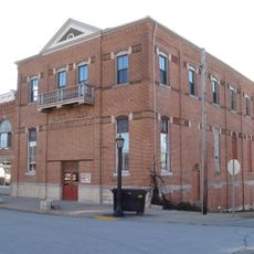
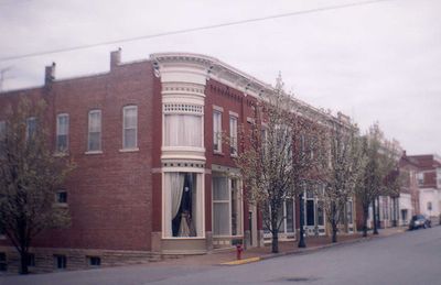
Finke Opera House
644 m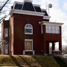
Henry and Elizabeth Bockrath House
34.3 km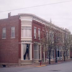
Gray-Wood Buildings
875 m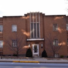
Tergin Apartment Building
34.7 km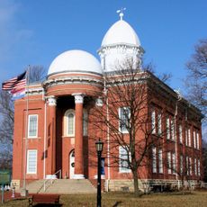
Moniteau County Courthouse Square
776 m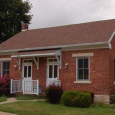
Herman Haar House
34.3 km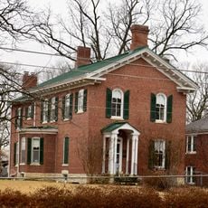
Oscar G. and Mary H. Burch House
34.4 km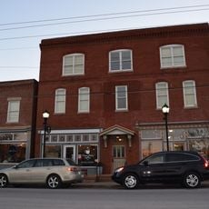
Munichburg Commercial Historic District
34.9 km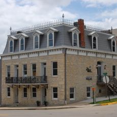
Dr. Joseph P. and Effie Porth House
34.3 km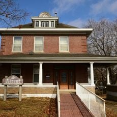
Broadway-Dunklin Historic District
34.4 km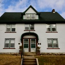
Albert and Wilhelmina Thomas House
34.5 km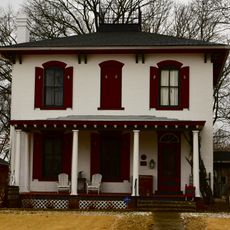
Nelson C. and Gertrude A. Burch House
34.4 km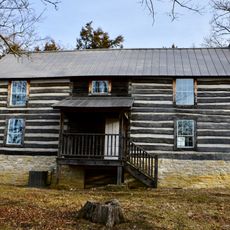
Joseph and Elizabeth Wallendorf House
27.5 km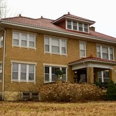
John M. and Lillian Sommerer House
32 km
Charles J. and Clara B. Schmidt House
34.3 kmBewertungen
Diesen Ort besucht? Tippe auf die Sterne, um ihn zu bewerten und deine Erfahrung oder Fotos mit der Community zu teilen! Jetzt ausprobieren! Sie können jederzeit kündigen.
Entdecke verborgene Schätze auf jedem Abenteuer!
Von charmanten kleinen Cafés bis zu versteckten Aussichtspunkten – entfliehe dem Touristentrubel und finde Orte, die wirklich zu dir passen. Unsere App macht's dir leicht: Sprachsuche, clevere Filter, optimierte Routen und echte Geheimtipps von Reisenden weltweit. Jetzt runterladen und das Abenteuer mobil erleben!

Ein neuer Ansatz für touristische Entdeckungen❞
— Le Figaro
Alle Orte, die eine Entdeckung wert sind❞
— France Info
Ein maßgeschneiderter Ausflug mit nur wenigen Klicks❞
— 20 Minutes