
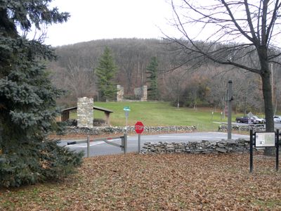
Crampton's Gap Historic District
Crampton's Gap Historic District, historic district in Maryland, United States
Ort: Burkittsville
GPS Koordinaten: 39.40561,-77.63967
Neueste Aktualisierung: 26. März 2025 um 07:34
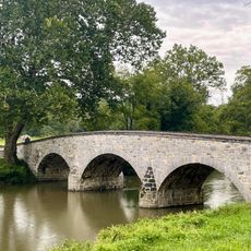
Burnside's Bridge
9.4 km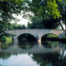
Antietam Creek
9.2 km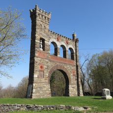
Gathland State Park
256 m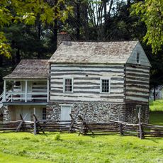
Kennedy Farm
7.1 km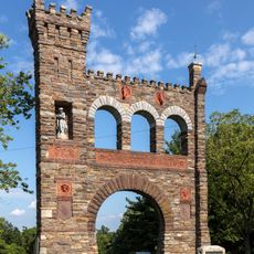
National War Correspondents Memorial
38 m
Lambs Knoll
4.9 km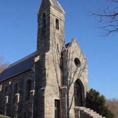
Dahlgren Chapel
9 km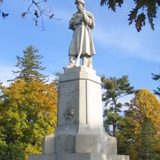
The American Volunteer
10.6 km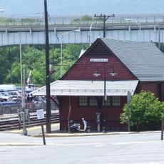
Brunswick Historic District
10.6 km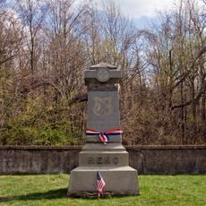
Turner's and Fox's Gaps Historic District
9 km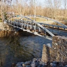
Bennies Hill Road Bridge
6 km
Antietam Iron Furnace Site and Antietam Village
8.9 km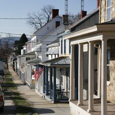
Middletown Historic District
9.3 km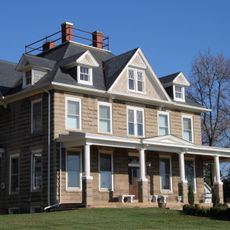
Airview Historic District
10.3 km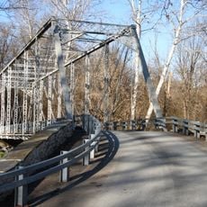
Poffenberger Road Bridge
6.4 km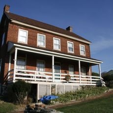
Henry Shoemaker Farmhouse
8 km
George Willard House
9.7 km
Bowlus Mill House
8.9 km
Burkittsville Historic District
1.9 km
Geeting Farm
9.5 km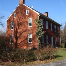
Shafer's Mill
6.5 km
Routzahn-Miller Farmstead
9.9 km
Hills, Dales and The Vinyard
10.4 km
Keedysville Historic District
10.4 km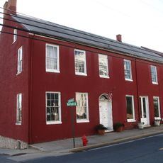
Stonebraker and Harbaugh–Shafer Building
9 km
Reno Monument
7.5 km
Brunswick Heritage Museum
10.4 km
C&O Canal Antietam Creek Aqueduct
9.2 kmDiesen Ort besucht? Tippe auf die Sterne, um ihn zu bewerten und deine Erfahrung oder Fotos mit der Community zu teilen! Jetzt ausprobieren! Sie können jederzeit kündigen.
Entdecke verborgene Schätze auf jedem Abenteuer!
Von charmanten kleinen Cafés bis zu versteckten Aussichtspunkten – entfliehe dem Touristentrubel und finde Orte, die wirklich zu dir passen. Unsere App macht's dir leicht: Sprachsuche, clevere Filter, optimierte Routen und echte Geheimtipps von Reisenden weltweit. Jetzt runterladen und das Abenteuer mobil erleben!

Ein neuer Ansatz für touristische Entdeckungen❞
— Le Figaro
Alle Orte, die eine Entdeckung wert sind❞
— France Info
Ein maßgeschneiderter Ausflug mit nur wenigen Klicks❞
— 20 Minutes