
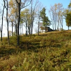
Farmington Township, Township im Clarion County im US-Bundesstaat Pennsylvania
Ort: Clarion County
GPS Koordinaten: 41.38333,-79.24139
Neueste Aktualisierung: 4. Mai 2025 um 18:28
Pithole City
32.4 km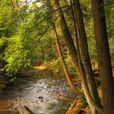
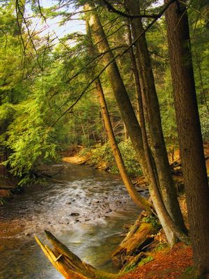
Cook Forest State Park
9.3 km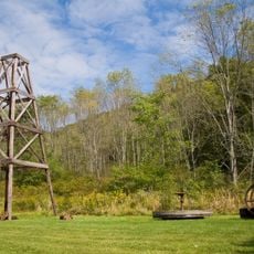
Oil Creek State Park
39.5 km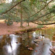
Clear Creek State Park
14.1 km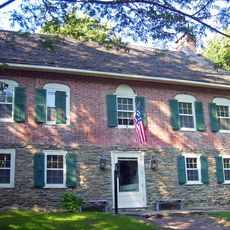
Gomez Mill House
31.3 km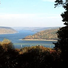
Allegheny National Recreation Area
35.5 km
Hearts Content Scenic Area
34.4 km
Clear Creek State Forest
17 km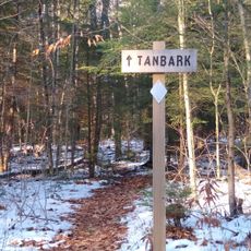
Tanbark Trail
32.6 km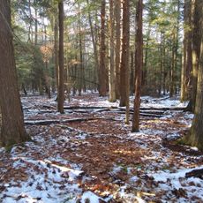
Hickory Creek Wilderness
32.7 km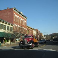
Brookville Historic District
28.2 km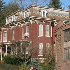
Brookville Presbyterian Church and Manse
28.1 km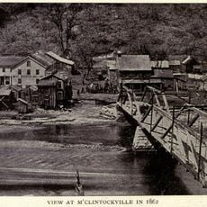
McClintocksville, Pennsylvania
34.3 km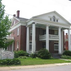
Sutton-Ditz House
22.4 km
Pithole Stone Arch Bridge
31.7 km
Clarion County Courthouse and Jail
22.3 km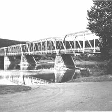
West Hickory Bridge
24.9 km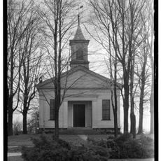
Allegheny Baptist Church
37 km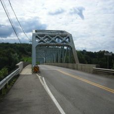
Tidioute Bridge
36 km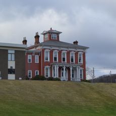
Phillip Taylor House
29.2 km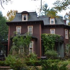
Connely-Holeman House
37.8 km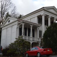
Joseph E. Hall House
28 km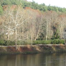
Anthony Wayne Cook Mansion
6.5 km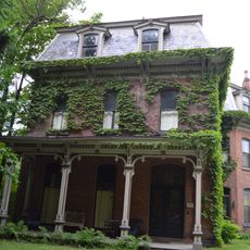
Gray-Taylor House
27.9 km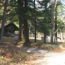
Cook Forest State Park River Cabin District
7.6 km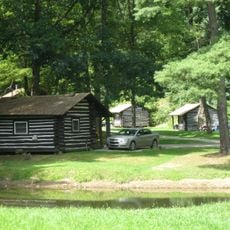
Cook Forest State Park Indian Cabin District
6.1 km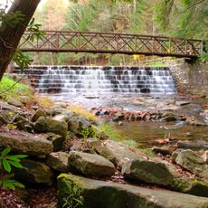
Clear Creek State Park Day Use District
15.1 km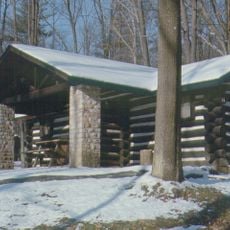
Clear Creek State Park Family Cabin District
12.8 kmBewertungen
Diesen Ort besucht? Tippe auf die Sterne, um ihn zu bewerten und deine Erfahrung oder Fotos mit der Community zu teilen! Jetzt ausprobieren! Sie können jederzeit kündigen.
Entdecke verborgene Schätze auf jedem Abenteuer!
Von charmanten kleinen Cafés bis zu versteckten Aussichtspunkten – entfliehe dem Touristentrubel und finde Orte, die wirklich zu dir passen. Unsere App macht's dir leicht: Sprachsuche, clevere Filter, optimierte Routen und echte Geheimtipps von Reisenden weltweit. Jetzt runterladen und das Abenteuer mobil erleben!

Ein neuer Ansatz für touristische Entdeckungen❞
— Le Figaro
Alle Orte, die eine Entdeckung wert sind❞
— France Info
Ein maßgeschneiderter Ausflug mit nur wenigen Klicks❞
— 20 Minutes