
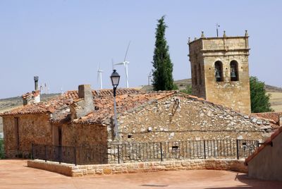
Tartanedo, Gemeinde in Spanien
Ort: Guadalajara Province
Hauptstadt: Tartanedo
Höhe über dem Meer: 1.117 m
Teil von: Mancomunitat «Campo-Mesa»
Grenzt an: Algar de Mesa, Milmarcos, Fuentelsaz, Tortuera, Rueda de la Sierra, Torrubia, Pardos, Corduente, Establés, Mochales, Villel de Mesa
GPS Koordinaten: 40.99417,-1.92222
Neueste Aktualisierung: 4. März 2025 um 04:43
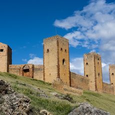
Castillo de Molina de Aragón
16.8 km
Venta de Aragoncillo
12.6 km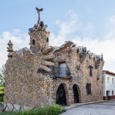
Capricho rillano
14.4 km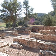
Archaeological site of El Ceremeño
12.5 km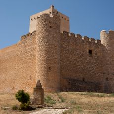
Castillo de Embid
17.8 km
Hermitage of Santa Catalina
7.2 km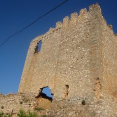
Castillo de Sisamón
20.8 km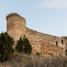
Castle of Malasombra
8.8 km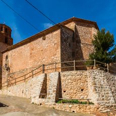
Castle of Campillo de Aragón
16.2 km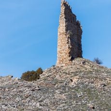
Castle of Cimballa
17.3 km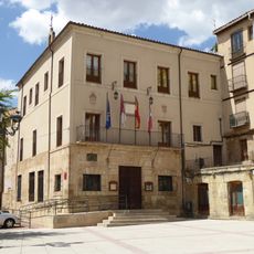
Town hall of Molina de Aragón
16.9 km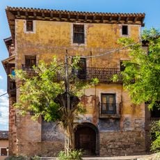
Posada de los Comuneros
16.8 km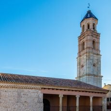
Hermitage of St Lucía, Campillo de Aragón
16.1 km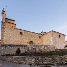
Church of the Assumption, Establés
8.8 km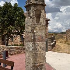
Pairón of Aragoncillo
12.2 km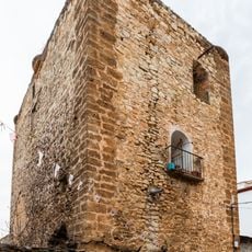
Castle of Calmarza
18.2 km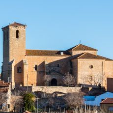
Church of San Pedro Apóstol
10.7 km
Church of San Bartolomé
190 m
Church of Nuestra Señora de la Asunción
3.7 km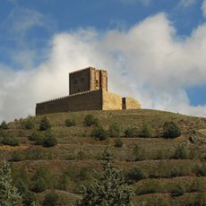
Torre de Aragón
16.6 km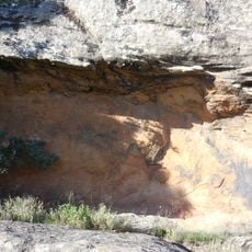
Rillo I
12.4 km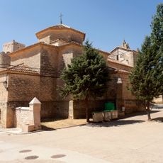
Church of Santa Catalina
17.8 km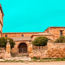
Church of Nuestra Señora de las Nieves
10.2 km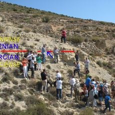
GSSP for the base of the Aalenian
12.2 km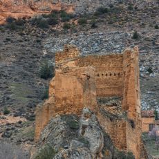
Castillo de Los Funes
15.8 km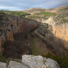
Hoces del Río Mesa
20.8 km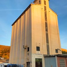
Silo de Molina de Aragón
16.6 km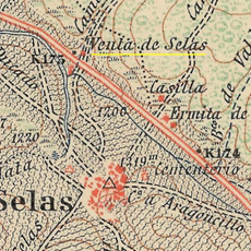
Venta de Selas
15.8 kmDiesen Ort besucht? Tippe auf die Sterne, um ihn zu bewerten und deine Erfahrung oder Fotos mit der Community zu teilen! Jetzt ausprobieren! Sie können jederzeit kündigen.
Entdecke verborgene Schätze auf jedem Abenteuer!
Von charmanten kleinen Cafés bis zu versteckten Aussichtspunkten – entfliehe dem Touristentrubel und finde Orte, die wirklich zu dir passen. Unsere App macht's dir leicht: Sprachsuche, clevere Filter, optimierte Routen und echte Geheimtipps von Reisenden weltweit. Jetzt runterladen und das Abenteuer mobil erleben!

Ein neuer Ansatz für touristische Entdeckungen❞
— Le Figaro
Alle Orte, die eine Entdeckung wert sind❞
— France Info
Ein maßgeschneiderter Ausflug mit nur wenigen Klicks❞
— 20 Minutes