
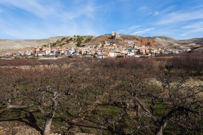
Villafeliche, Gemeinde in Spanien
Ort: Zaragoza Province
Hauptstadt: Villafeliche
Höhe über dem Meer: 724 m
Teil von: Mancomunitat Intermunicipal de Villafeliche y Montón
Grenzt an: Miedes de Aragón, Murero, Atea, Montón
GPS Koordinaten: 41.19582,-1.51050
Neueste Aktualisierung: 13. März 2025 um 03:38
Murero paleontological sites
4.3 km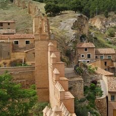
Daroca city walls
12.1 km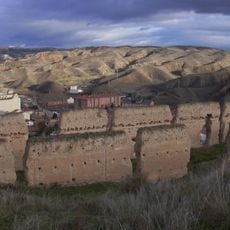
La Morica Encantada
12.1 km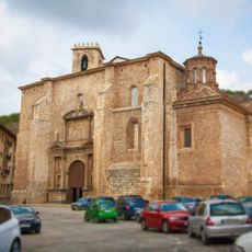
Collegiate church of Santa María
12.1 km
Palacio de los Luna
12.2 km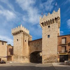
Puerta Baja
12.1 km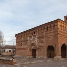
Iglesia de San Martín de Tours (Morata de Jiloca)
8.6 km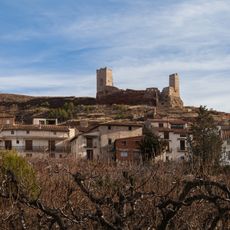
Castle of Villafeliche
126 m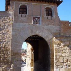
Puerta Alta
12.4 km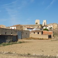
Castillo de Langa
9.4 km
Castle of Morata de Jiloca
8.8 km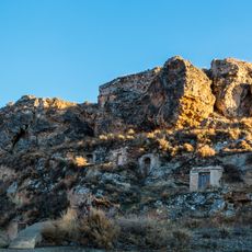
Castle of Fuentes de jiloca
4.4 km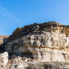
Castle of Retascon
12.1 km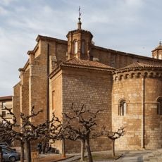
Church of San Miguel, Daroca
11.9 km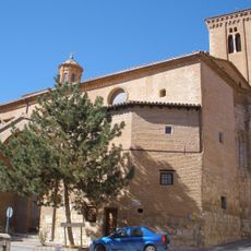
Church of Santo Domingo de Silos
12 km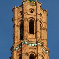
Church of the Assumption
4.2 km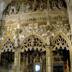
Chapel of the Sacred Corporals
12.1 km
Hospital de Peregrinos
12 km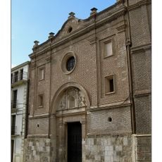
Church of Piarits in Daroca
12.3 km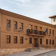
Town hall of Daroca
12.1 km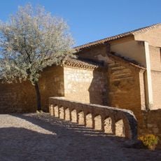
Church of San Juan de la Cuesta, Daroca
12 km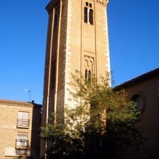
Bell tower of the church of Santo Domingo de Silos, Daroca
12 km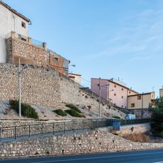
Wall of Montón
1.3 km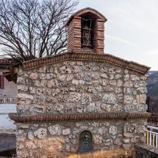
Wayside cross of the Virgin of Carmen
222 m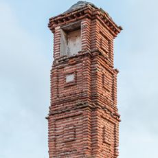
Wayside cross of Saint Vicente, Fuentes de Jiloca
4.5 km
Fuente de los Veinte Caños
12.1 km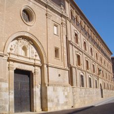
Piarist school, Daroca
12.4 km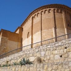
Ábside de San Juan de la Cuesta
12 kmDiesen Ort besucht? Tippe auf die Sterne, um ihn zu bewerten und deine Erfahrung oder Fotos mit der Community zu teilen! Jetzt ausprobieren! Sie können jederzeit kündigen.
Entdecke verborgene Schätze auf jedem Abenteuer!
Von charmanten kleinen Cafés bis zu versteckten Aussichtspunkten – entfliehe dem Touristentrubel und finde Orte, die wirklich zu dir passen. Unsere App macht's dir leicht: Sprachsuche, clevere Filter, optimierte Routen und echte Geheimtipps von Reisenden weltweit. Jetzt runterladen und das Abenteuer mobil erleben!

Ein neuer Ansatz für touristische Entdeckungen❞
— Le Figaro
Alle Orte, die eine Entdeckung wert sind❞
— France Info
Ein maßgeschneiderter Ausflug mit nur wenigen Klicks❞
— 20 Minutes