Berner Oberland, Alpenregion im Kanton Bern, Schweiz
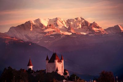
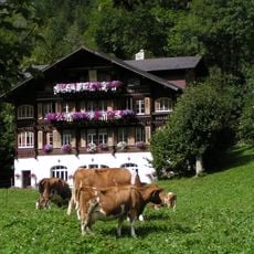
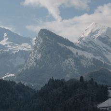
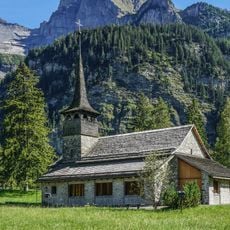
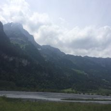
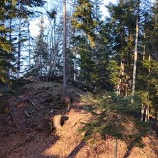
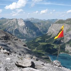
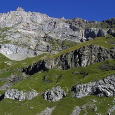
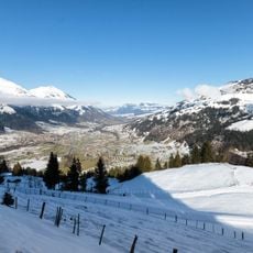
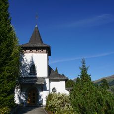
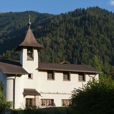
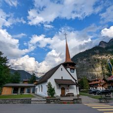
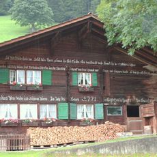
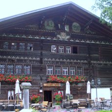
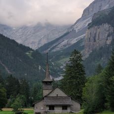
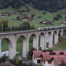
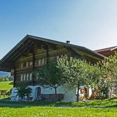
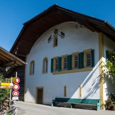
The Bernese Oberland extends across the southern part of Bern canton, featuring mountains, valleys, and lakes including Thun and Brienz with Interlaken as central point. The region comprises steep summits, deep gorges, and extensive forests that shape a dramatic landscape where small villages nestle on hillsides and meadows roll across high plateaus.
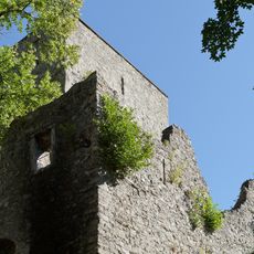
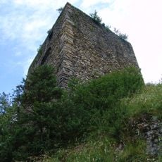
Between 1323 and 1400, the city of Bern systematically acquired the Oberland territories from local barons who faced financial difficulties and needed to sell their lands. This expansion established Bern's control over the region and shaped its political boundaries for centuries to follow.
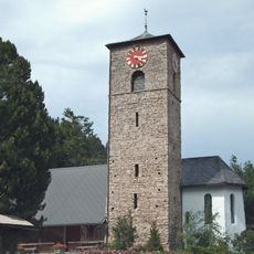
The region maintains distinct Swiss German dialects of Highest Alemannic, reflecting the geographical isolation of different valleys throughout centuries of settlement patterns.
An extensive network of trains and cable cars connects all major towns, allowing visitors to reach locations like Grindelwald, Wengen, and Mürren from the Interlaken hub. Most villages are car-free or difficult to drive to, which makes using public transport the easiest way to explore the region.
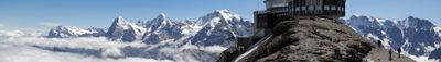
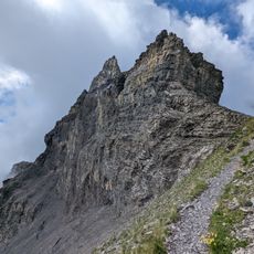
The Finsteraarhorn reaches 4,274 meters and stands as the highest peak in the Bernese Oberland, marking where multiple glacial systems converge. Few visitors venture to this remote summit, making it one of the region's least-known geographical features despite its prominent status.
Die Community neugieriger Reisender
AroundUs vereint tausende ausgewählte Orte, lokale Tipps und versteckte Schätze, täglich bereichert von über 60,000 Mitwirkenden weltweit.