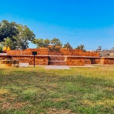
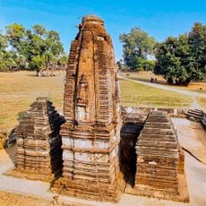
Pāngrī Tank, Stausee in Indien
Ort: Maharashtra
GPS Koordinaten: 21.41167,80.10722
Neueste Aktualisierung: 12. November 2025 um 04:30

Nagzira Wildlife Sanctuary
22.5 km
Nagra Brick Temple, Chandanitola Gondia
13.5 km
Old fort and temples, Lanji
46.3 km
Remains of the temple locally known as Nath Bawa
30.3 km
Gumdoh Tank
5.2 km
Bagheda Talāv
47.3 km
Chorkhamāra Tank
21.3 km
Nāgjhiriā
19.2 km
Walnājhari Talāv
31.9 km
Bodalkasa Tank
10.5 km
Seonī Sāgar
36 km
Bhimalkasā Tank
29.7 km
The old remains of two temples immediately outside Padampur to the north & the south of Ganeshpur
30.3 km
Tānga Talāv
46.4 km
Remains of the temple close to the south of the village Ganeshpur
30.2 km
Khairbandā Tank
8.9 km
Rāwanghāta
15.9 km
Sāgar
34.5 km
Ām Talāv
35.8 km
Seonī Tank
47 km
Wāra Tank
38.1 km
Remains of the temple to the North-west of the village
30.7 km
Remains of the temple to the North of the Village
31.1 km
Chāndpur Tank
33.8 km
Dorli Tank
46.3 km
Pāthrī Tank
47.5 km
Lanji Fort
46.3 km
Chorkhamara Reservoir
21.3 kmBewertungen
Diesen Ort besucht? Tippe auf die Sterne, um ihn zu bewerten und deine Erfahrung oder Fotos mit der Community zu teilen! Jetzt ausprobieren! Sie können jederzeit kündigen.
Entdecke verborgene Schätze auf jedem Abenteuer!
Von charmanten kleinen Cafés bis zu versteckten Aussichtspunkten – entfliehe dem Touristentrubel und finde Orte, die wirklich zu dir passen. Unsere App macht's dir leicht: Sprachsuche, clevere Filter, optimierte Routen und echte Geheimtipps von Reisenden weltweit. Jetzt runterladen und das Abenteuer mobil erleben!

Ein neuer Ansatz für touristische Entdeckungen❞
— Le Figaro
Alle Orte, die eine Entdeckung wert sind❞
— France Info
Ein maßgeschneiderter Ausflug mit nur wenigen Klicks❞
— 20 Minutes