
Lubiatów, Złotoryja County, Dorf in Polen
Ort: Gmina Złotoryja
GPS Koordinaten: 51.20500,16.03000
Neueste Aktualisierung: 11. April 2025 um 14:29
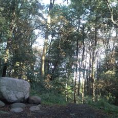
Lasek Złotoryjski
7.2 km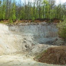
Halloysite Mine in Dunino
7.3 km
Schloss Panthenau
3.4 km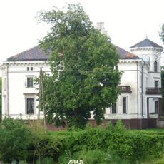
Palace in Lubiatów
97 m
Palace in Czerwony Kościół
2.9 km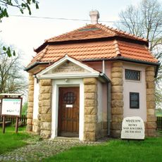
Museum of Kaczawa Battle
6.7 km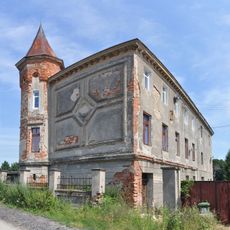
Pałac w Lipcach
5.5 km
Palace in Jakuszów
7.4 km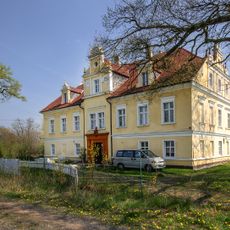
Palace in Pątnówek
6.8 km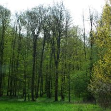
Grodzisko w Duninie
8.1 km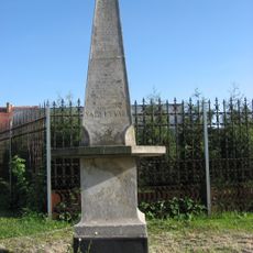
Kolumna Łez
5.8 km
Manor in Gierałtowiec
4 km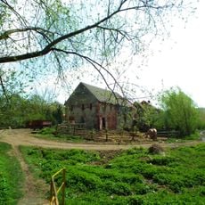
Święciany, Lower Silesian Voivodeship
7.5 km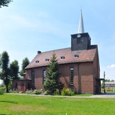
Immaculate Conception church in Miłkowice
6 km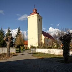
Kościół Wniebowzięcia Najświętszej Maryi Panny w Krotoszycach
6.5 km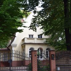
Willa
8.3 km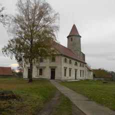
Saint Casimir and Our Lady of the Gate of Dawn church in Studnica
4.1 km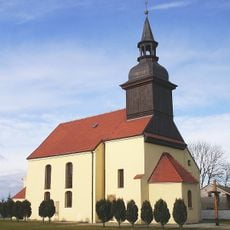
Church of the Nativity of the Virgin Mary in Czerwony Kościół
3.2 km
Church of the Assumption of the Holy Virgin Mary in Krotoszyce
6.5 km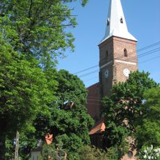
Church of the Assumption in Ulesie
5.5 km
Kościół św. Jadwigi w Wysocku
7.4 km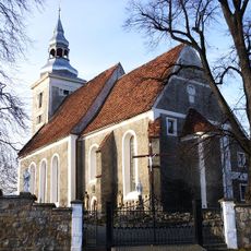
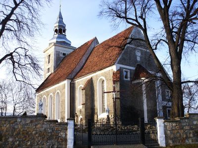
Sacred Heart church in Lubiatów
19 m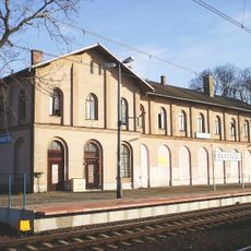
Main building of the train station in Miłkowice
5.9 km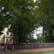
Zespół willi
8.3 km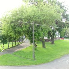
Zespół pałacowy
134 m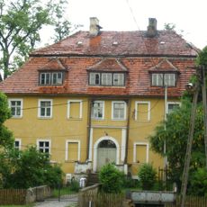
Dwór w Kwiatowie
2 km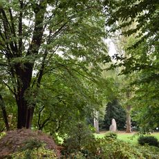
Ogród
8.3 km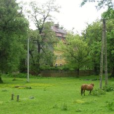
Zespół dworski i folwarczny w Kwiatowie
2 kmDiesen Ort besucht? Tippe auf die Sterne, um ihn zu bewerten und deine Erfahrung oder Fotos mit der Community zu teilen! Jetzt ausprobieren! Sie können jederzeit kündigen.
Entdecke verborgene Schätze auf jedem Abenteuer!
Von charmanten kleinen Cafés bis zu versteckten Aussichtspunkten – entfliehe dem Touristentrubel und finde Orte, die wirklich zu dir passen. Unsere App macht's dir leicht: Sprachsuche, clevere Filter, optimierte Routen und echte Geheimtipps von Reisenden weltweit. Jetzt runterladen und das Abenteuer mobil erleben!

Ein neuer Ansatz für touristische Entdeckungen❞
— Le Figaro
Alle Orte, die eine Entdeckung wert sind❞
— France Info
Ein maßgeschneiderter Ausflug mit nur wenigen Klicks❞
— 20 Minutes