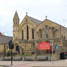
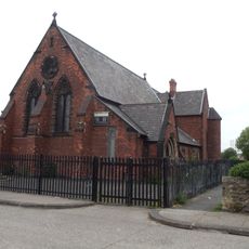
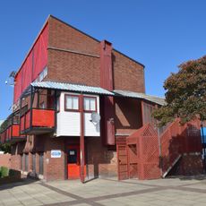
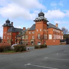
Felling, urban area in the metropolitan borough of Gateshead, Tyne and Wear, England
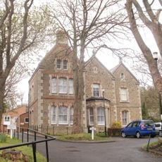
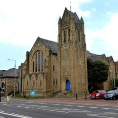
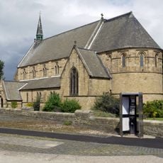
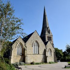
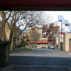
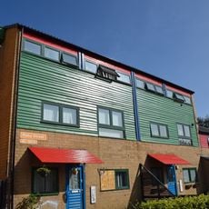
Felling ist ein Dorf in Gateshead mit Häusern aus dem späten 19. und frühen 20. Jahrhundert, die entlang ruhiger Straßen stehen. Das Gemeindegebiet erstreckt sich über sanfte, flache Landschaften mit kleinen Parks und Grünflächen, die von Wohnvierteln durchzogen sind.
Der Name des Ortes stammt vom Abholzen von Bäumen in früheren Zeiten, und das Gebiet wurde 1894 als Bezirk gegründet. Felling wuchs als Zentrum für Kohlebergbau, Steinbrüche und Industriearbeit heran, was es zum Leben und Arbeiten von Generationen formte.
Felling war lange Zeit ein Ort, an dem sich Menschen in Pubs und auf der Hauptstraße trafen und austauschten. Die Ortsgemeinschaft prägte das tägliche Leben und schuf eine starke Identität, die bis heute nachwirkt und sich in den Erinnerungen der Bewohner an gemeinsame Veranstaltungen und lokale Traditionen widerspiegelt.
Der Ort ist durch Busverbindungen gut erreichbar, die Felling mit Gateshead und benachbarten Orten verbinden. Die ebene Landschaft und die Nähe zu Parks machen es leicht, die Gegend zu Fuß zu erkunden und sich zurechtzufinden.
Eine bemerkenswerte Verbindung zu einem welthistorischen Ereignis besteht durch John Brown-King aus der nahen Windy Nook, dem Anwohner, der vermutlich den ersten Schuss des Ersten Weltkriegs von einem Schiff namens The Amphion abfeuerte. Diese lokale Geschichte verbindet den kleinen Ort mit einem bedeutenden Moment der Weltgeschichte.
Die Community neugieriger Reisender
AroundUs vereint tausende ausgewählte Orte, lokale Tipps und versteckte Schätze, täglich bereichert von über 60,000 Mitwirkenden weltweit.