
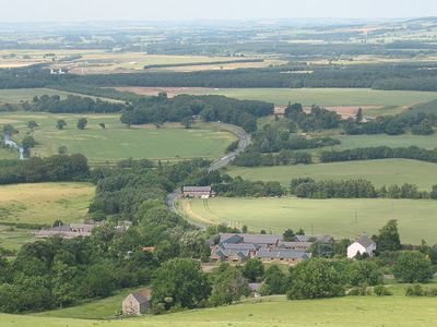
Akeld, a village located in Northumberland, United Kingdom
Ort: Northumberland
GPS Koordinaten: 55.56078,-2.06974
Neueste Aktualisierung: 3. März 2025 um 10:45
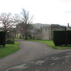
Coupland Castle
2.6 km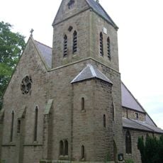
St Ninian's Church, Wooler
3.5 km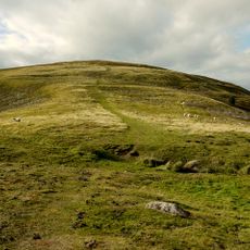
Prehistoric enclosed settlement, Iron Age hillfort and medieval shielings on Humbleton Hill
1.7 km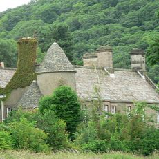
Hethpool House
6.2 km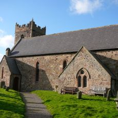
Church of St Gregory the Great
4.4 km
Church of St Mary
3.9 km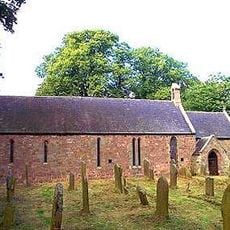
Church of St Mary and St Michael, Doddington
4.6 km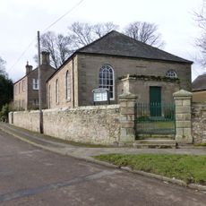
Primitive Methodist Chapel
4.7 km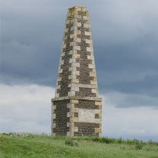
Lanton Memorial
4.2 km
Maelmin Henge
4.3 km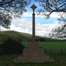
Kirknewton War Memorial
4.2 km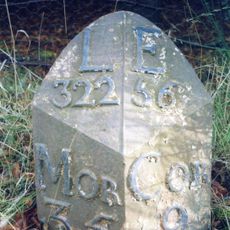
Milepost Circa 200 Yards North Of Ewart Park West Lodge
2.1 km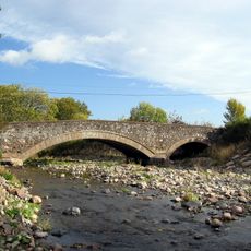
Westnewton Bridge
5 km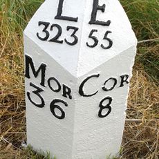
Milepost Circa 3/4 Mile South Of Millfield
3.7 km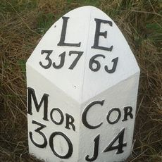
Milepost Circa 1/4 Mile North Of Haugh Head
5.2 km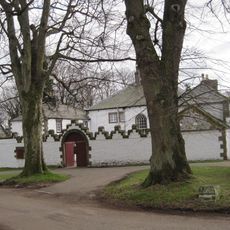
Middleton Hall
5.3 km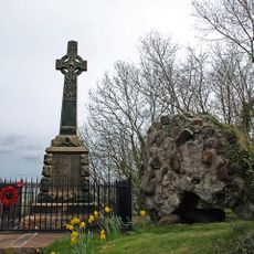
Wooler War Memorial
3.9 km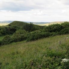
Green Castle
3.1 km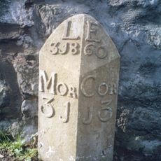
Milepost By Millvale
4 km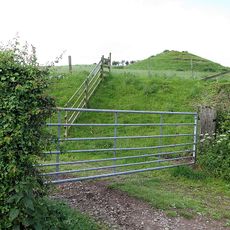
Medieval chapel, 220m south east of White Gables
2.4 km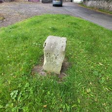
Boundary Stone Circa 20 Yards South Of North Yearle Farm Buildings
4.6 km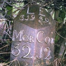
Milepost Circa Half A Mile East Of Humbleton Buildings
2.6 km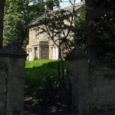
Doddington South Farm
5 km
Akeld Bastle And Attached Walling To South
284 m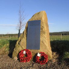
RAF Milfield WWII Memorial
4.3 km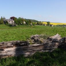
Weetwood Hall
5.9 km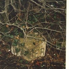
Milepost, roadside at NT999327
5.2 km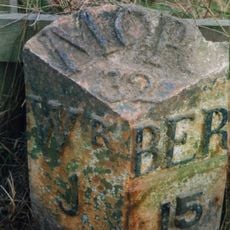
Milepost, Turvelaws Farm
4 kmBewertungen
Diesen Ort besucht? Tippe auf die Sterne, um ihn zu bewerten und deine Erfahrung oder Fotos mit der Community zu teilen! Jetzt ausprobieren! Sie können jederzeit kündigen.
Entdecke verborgene Schätze auf jedem Abenteuer!
Von charmanten kleinen Cafés bis zu versteckten Aussichtspunkten – entfliehe dem Touristentrubel und finde Orte, die wirklich zu dir passen. Unsere App macht's dir leicht: Sprachsuche, clevere Filter, optimierte Routen und echte Geheimtipps von Reisenden weltweit. Jetzt runterladen und das Abenteuer mobil erleben!

Ein neuer Ansatz für touristische Entdeckungen❞
— Le Figaro
Alle Orte, die eine Entdeckung wert sind❞
— France Info
Ein maßgeschneiderter Ausflug mit nur wenigen Klicks❞
— 20 Minutes