
Lullington, village and civil parish in South Derbyshire district, Derbyshire, England
Ort: South Derbyshire
GPS Koordinaten: 52.71422,-1.63702
Neueste Aktualisierung: 3. März 2025 um 00:01

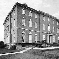
Catton Hall
4.4 km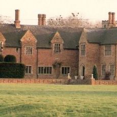
Croxall Hall
5 km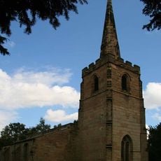
St Michael's Church, Stretton en le Field
5.9 km
Church of St Andrew, Clifton Campville
2.3 km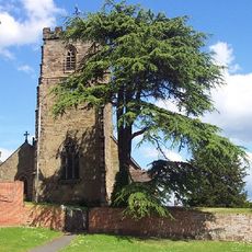
St Peter's Church, Netherseal
4.3 km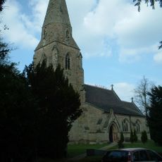
All Saints' Church, Lullington
354 m
St Mary's Church, Rosliston
3.8 km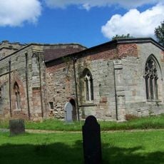
Church of St John the Baptist
4.9 km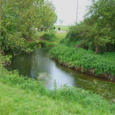
River Mease SSSI
3.2 km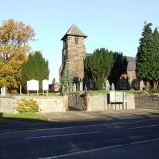
Church of St Matthew
5.4 km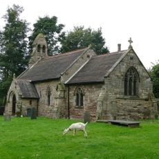
Church of St Giles
4.3 km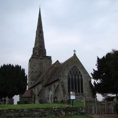
Church of All Saints
5.8 km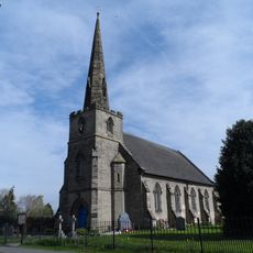
Church of St Mary
2.4 km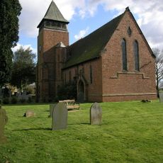
Church of Holy Trinity
3.3 km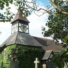
Church of St Matthew
3.7 km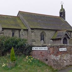
Church of St Matthew
4.1 km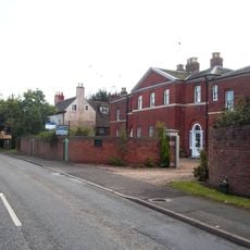
Overseal House
5.4 km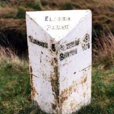
Mile Post At Ngr Sk 19661093
5.4 km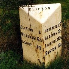
Milepost At Ngr Sk 2477 1091
2.1 km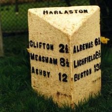
Milepost At Ngr Sk 2174 1110
3.5 km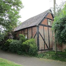
Former Stable Approximately 10 Yards North West Of The Old Vicarage
3.3 km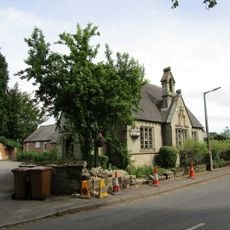
Village Hall
427 m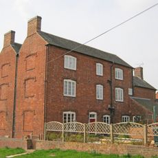
Hurst Farmhouse
4.2 km
Churchyard Walls And Gates To All Saints Church
379 m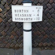
Milepost, Burton Road, by No. 6
5.4 km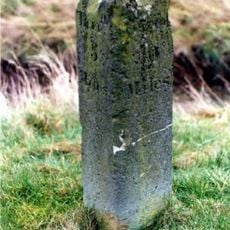
Milestone, near Greendales Farm (beside metal repalcement)
5.3 km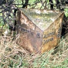
Milepost, near New Buildings Farm
4.6 km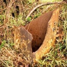
Milepost, S of Croxall Road jct
5.4 kmBewertungen
Diesen Ort besucht? Tippe auf die Sterne, um ihn zu bewerten und deine Erfahrung oder Fotos mit der Community zu teilen! Jetzt ausprobieren! Sie können jederzeit kündigen.
Entdecke verborgene Schätze auf jedem Abenteuer!
Von charmanten kleinen Cafés bis zu versteckten Aussichtspunkten – entfliehe dem Touristentrubel und finde Orte, die wirklich zu dir passen. Unsere App macht's dir leicht: Sprachsuche, clevere Filter, optimierte Routen und echte Geheimtipps von Reisenden weltweit. Jetzt runterladen und das Abenteuer mobil erleben!

Ein neuer Ansatz für touristische Entdeckungen❞
— Le Figaro
Alle Orte, die eine Entdeckung wert sind❞
— France Info
Ein maßgeschneiderter Ausflug mit nur wenigen Klicks❞
— 20 Minutes