
Lyford, Gemeinde in der englischen Grafschaft Oxfordshire
Ort: Vale of White Horse
Grenzt an: Kingston Bagpuize with Southmoor, Charney Bassett, West Hanney, Garford
GPS Koordinaten: 51.64500,-1.43800
Neueste Aktualisierung: 6. März 2025 um 22:10
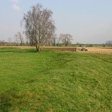
Cherbury Camp
2.6 km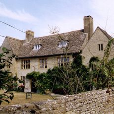
Charney Manor
927 m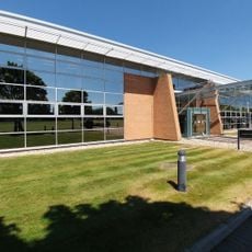
Williams F1 Conference Centre 🏁
3.3 km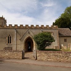
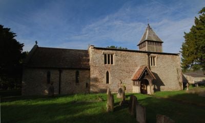
Church of St Peter, Charney Bassett
918 m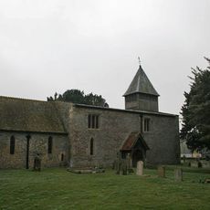
Church of St Mary
62 m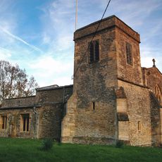
Church of St James
2.6 km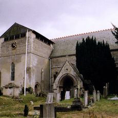
Church of St James, West Hanney
2.1 km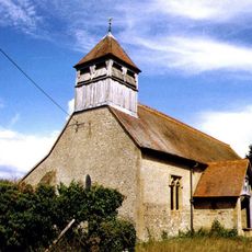
Church of St Luke
4.5 km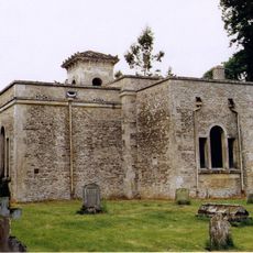
Church of All Saints
3.8 km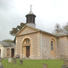
Church of St John the Baptist
4.3 km
Venn Mill
4.1 km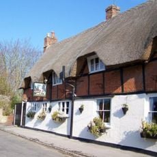
The Plough Public House
2.1 km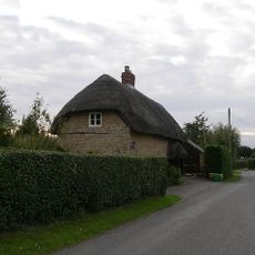
The Thatch Cottage, At Su 3920 9418
287 m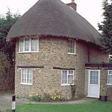
The Round House
3.5 km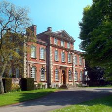
Kingston House
4.1 km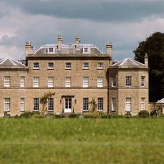
Pusey House
4 km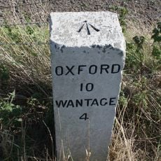
Milestone At Su 4230 9357
3.4 km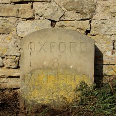
Milestone Approximately 28 Metres West South West Of Crossways
5.6 km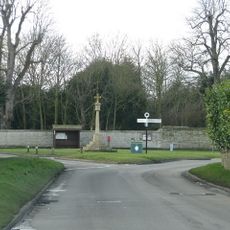
Village Cross
2.1 km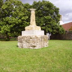
Village Cross
1.1 km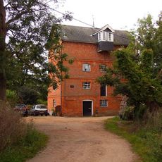
Mill Approximately 10 Metres South East Of Old Mill House
2.8 km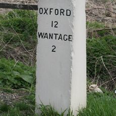
Milestone At Su 4075 9074
3.9 km
Venn Mill House And Attached Outbuildings
4.1 km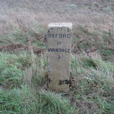
Milestone At Su 4152 9217
3.2 km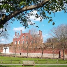
West Hanney House And Attached Archways
2.1 km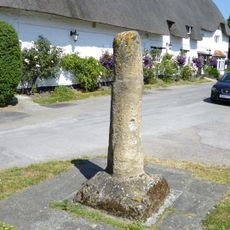
Village Cross Stump
2.6 km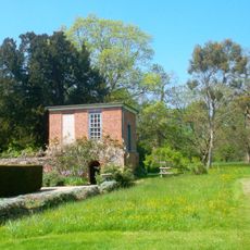
Gazebo, Terrace Walls, Gates, Gatepiers And Wall Approximately 74 Metres North West Of Kingston House
4.2 km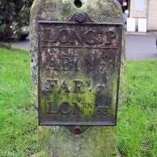
Milestone, Faringdon Road; in front of shops
4 kmBewertungen
Diesen Ort besucht? Tippe auf die Sterne, um ihn zu bewerten und deine Erfahrung oder Fotos mit der Community zu teilen! Jetzt ausprobieren! Sie können jederzeit kündigen.
Entdecke verborgene Schätze auf jedem Abenteuer!
Von charmanten kleinen Cafés bis zu versteckten Aussichtspunkten – entfliehe dem Touristentrubel und finde Orte, die wirklich zu dir passen. Unsere App macht's dir leicht: Sprachsuche, clevere Filter, optimierte Routen und echte Geheimtipps von Reisenden weltweit. Jetzt runterladen und das Abenteuer mobil erleben!

Ein neuer Ansatz für touristische Entdeckungen❞
— Le Figaro
Alle Orte, die eine Entdeckung wert sind❞
— France Info
Ein maßgeschneiderter Ausflug mit nur wenigen Klicks❞
— 20 Minutes