
Merthyr Mawr, village and community in Bridgend County Borough, Wales, UK
GPS Koordinaten: 51.48556,-3.61028
Neueste Aktualisierung: 9. April 2025 um 00:51
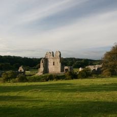
Ogmore Castle
558 m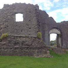
Newcastle
3.2 km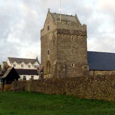
St John the Baptist Church
4.6 km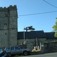
St David's Church
2.5 km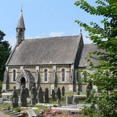
Church Of St Teilo
6 m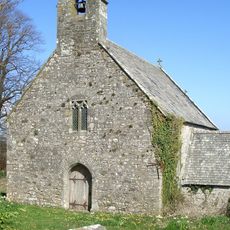
Church of St Tudwg
2.8 km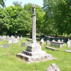
Preaching Cross in churchyard of St Teilo
24 m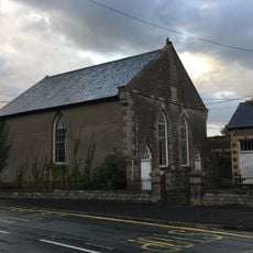
Horeb Welsh Calvinistic Methodist Chapel
2.4 km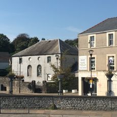
Elim Pentecostal Church
3.1 km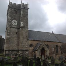
St Illtyd's Church
3.2 km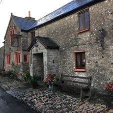
The Laleston Inn
2.5 km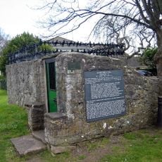
St John's Well aka Sandford's or de Sanford's Well
4.6 km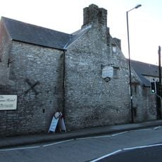
Tŷ Mawr Aka The Great House
2.4 km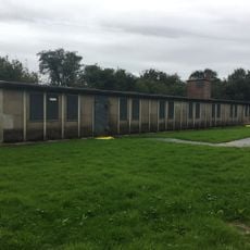
Hut 9 at former Prisoner of War Camp (198) and Special Camp XI, Island Farm
2 km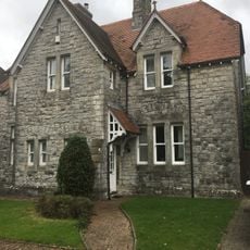
No.13 Merthyr Mawr Road, Former Preswylfa Children's Home
2.2 km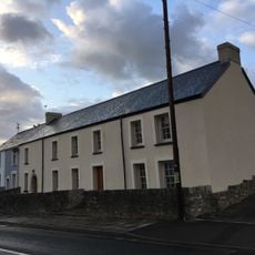
The Oystercatcher Public House
2.4 km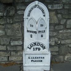
Milepost
2.4 km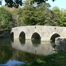
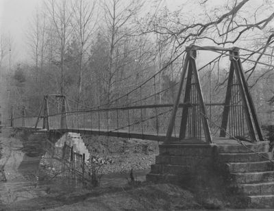
New Inn Bridge
1.2 km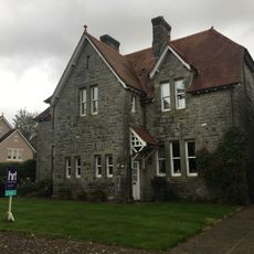
No.2 Merthyr Mawr Road, Former Preswylfa Children's Home
2.3 km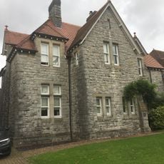
No.12 Merthyr Mawr Road, Former Preswylfa Children's Home
2.2 km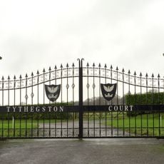
Tythegston Court
3 km
Newcastle House
3.1 km
St John's Hospice
3.1 km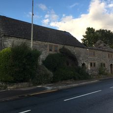
Village Farm House
2.4 km
Gate piers to Tythegston Court
2.9 km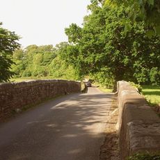
New Bridge
974 m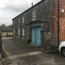
Coach House at Glanogwr, Glanogwr Road (Nw End)
2.4 km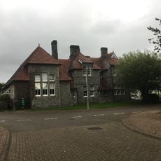
Administrative Block at Former Preswylfa Children's Home, Merthyr Mawr Road
2.3 kmBewertungen
Diesen Ort besucht? Tippe auf die Sterne, um ihn zu bewerten und deine Erfahrung oder Fotos mit der Community zu teilen! Jetzt ausprobieren! Sie können jederzeit kündigen.
Entdecke verborgene Schätze auf jedem Abenteuer!
Von charmanten kleinen Cafés bis zu versteckten Aussichtspunkten – entfliehe dem Touristentrubel und finde Orte, die wirklich zu dir passen. Unsere App macht's dir leicht: Sprachsuche, clevere Filter, optimierte Routen und echte Geheimtipps von Reisenden weltweit. Jetzt runterladen und das Abenteuer mobil erleben!

Ein neuer Ansatz für touristische Entdeckungen❞
— Le Figaro
Alle Orte, die eine Entdeckung wert sind❞
— France Info
Ein maßgeschneiderter Ausflug mit nur wenigen Klicks❞
— 20 Minutes