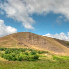
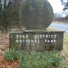
High Peak, Parliamentary constituency in the United Kingdom, 1885 onwards
High Peak ist ein Wahlkreis des britischen Unterhauses in der Region East Midlands. Der Wahlkreis umfasst mehrere Gemeinden und Ortschaften in einem geografisch vielfältigen Gebiet.
Der Wahlkreis wurde als Teil der Neuordnung des britischen Wahlsystems gegründet und repräsentiert seitdem diesen geografischen Bereich bei Parlamentswahlen. Die Grenzen und Struktur des Wahlkreises haben sich im Laufe der Zeit durch Neuzuschnitte angepasst.
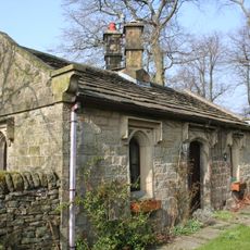
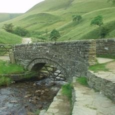
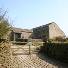
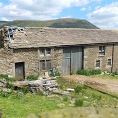
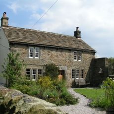
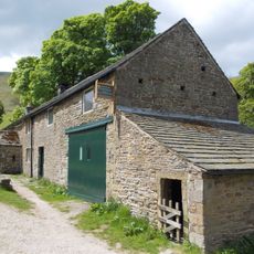
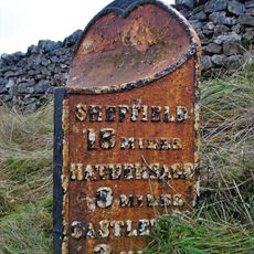
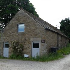
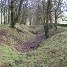
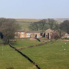
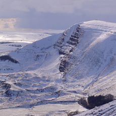
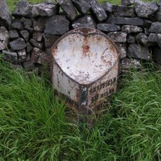
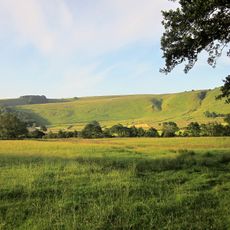
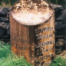
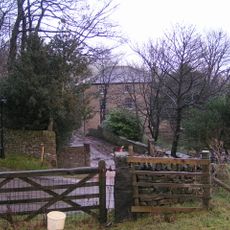
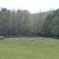
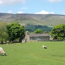
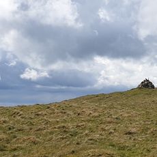
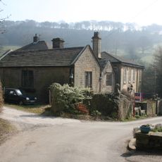
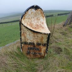
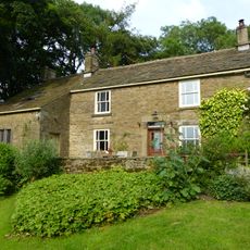
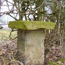
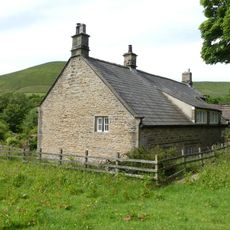
Als Wahlkreis ist High Peak für Besucher nicht unmittelbar zugänglich, bietet aber die Möglichkeit, verschiedene Ortschaften in der Region zu erkunden. Die beste Zeit zum Erkunden der verschiedenen Gemeinden ist während milder Jahreszeiten, wenn das Wetter für Wanderungen und Besichtigungen günstig ist.
Die Community neugieriger Reisender
AroundUs vereint tausende ausgewählte Orte, lokale Tipps und versteckte Schätze, täglich bereichert von über 60,000 Mitwirkenden weltweit.