
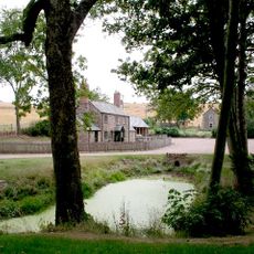
King's Caple, Dorf in England
Ort: Herefordshire
GPS Koordinaten: 51.95690,-2.63930
Neueste Aktualisierung: 6. April 2025 um 15:30
Harewood Park
3.2 km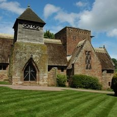
Church of All Saints
4.6 km
Church of St Catherine
1.7 km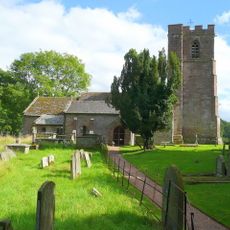
Church of St Dubricius
3.1 km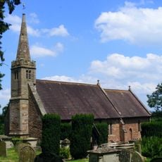
Church of St Peter
4 km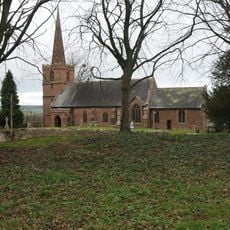
Church of St John the Baptist
285 m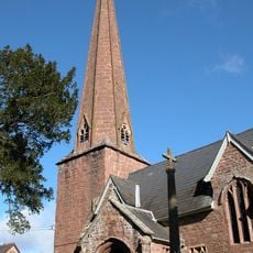
Church of St Tysilio
1.3 km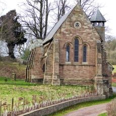
Former Church of St Denis at the Kennels, Harewood Park
3.2 km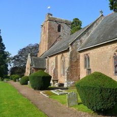
Church of St Mary
3.7 km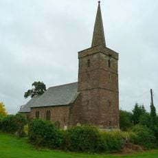
Church of St Dubricius, Ballingham
3.1 km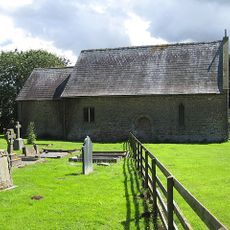
Chapel of St John
3 km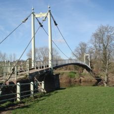
Sellack Bridge
936 m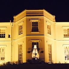
Pengethley Hotel
3.7 km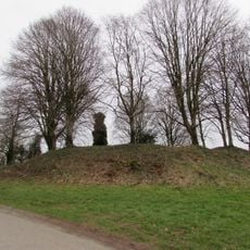
Caple Tump
242 m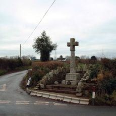
Pict's Cross War Memorial
2.2 km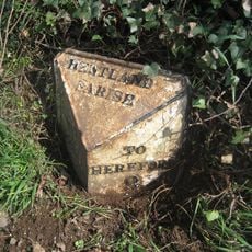
Milepost, 200m SE of "Harewood End" PH
3.8 km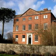
Kings Caple Court
115 m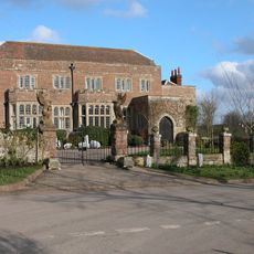
Fawley Court
2 km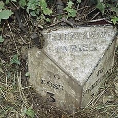
Milepost At National Grid Reference So 555249
4 km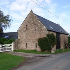
Barn And Adjoining Byre Approximately 20 Metres South East Of Kings Caple
90 m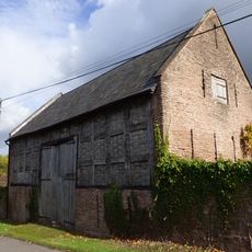
Lower Penault
1.1 km
Mounting Block Approximately 25 Metres South Of Church Of St John The Baptist
260 m
Gate Piers, Overthrow, Flanking Walls Extending About 6 Feet To North And South Sides Of Gate Piers, Steps And Retaining Walls To The East Of The Church Of St Catherine
1.6 km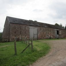
Barn And Attached Wall About 25 Yards West Of White House
1.7 km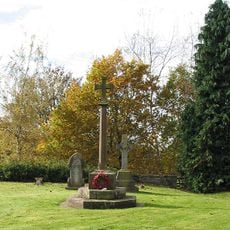
King's Caple War Memorial
277 m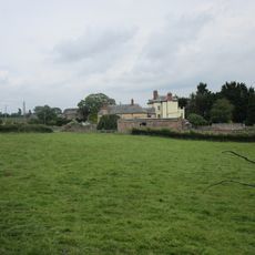
Carthage
3.7 km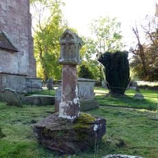
Churchyard cross in St Dubricius's churchyard
3.1 km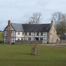
Grange Farmhouse
3.1 kmDiesen Ort besucht? Tippe auf die Sterne, um ihn zu bewerten und deine Erfahrung oder Fotos mit der Community zu teilen! Jetzt ausprobieren! Sie können jederzeit kündigen.
Entdecke verborgene Schätze auf jedem Abenteuer!
Von charmanten kleinen Cafés bis zu versteckten Aussichtspunkten – entfliehe dem Touristentrubel und finde Orte, die wirklich zu dir passen. Unsere App macht's dir leicht: Sprachsuche, clevere Filter, optimierte Routen und echte Geheimtipps von Reisenden weltweit. Jetzt runterladen und das Abenteuer mobil erleben!

Ein neuer Ansatz für touristische Entdeckungen❞
— Le Figaro
Alle Orte, die eine Entdeckung wert sind❞
— France Info
Ein maßgeschneiderter Ausflug mit nur wenigen Klicks❞
— 20 Minutes