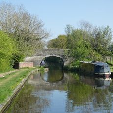
Belvide Reservoir, Canal feeder reservoir and nature reserve in south Staffordshire, England
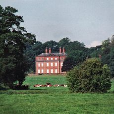
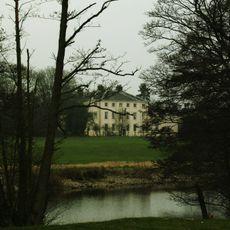
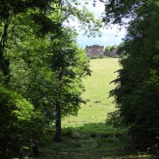
Belvide Reservoir ist ein großes Gewässer in South Staffordshire, umgeben von offenen Feldern und Feuchtgebieten. Das Wasser erstreckt sich über eine beachtliche Fläche und wird von Schilfflächen und Gehölzen begrenzt, was verschiedene Lebensräume für Wasservögel und andere Wildtiere schafft.
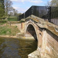
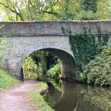
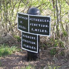
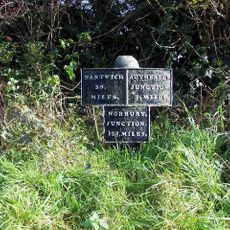
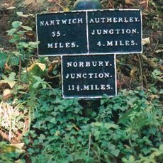
Der Stausee wurde 1833 erbaut, um den Birmingham und Liverpool Junction Canal mit Wasser zu versorgen. Später wurde er ab den 1920er Jahren durch die Beobachtungen von Vogelkundlern wie A.W. Boyd als bedeutsamer Vogelbeobachtungsort anerkannt und wird heute durch den örtlichen Vogelclub als Naturschutzgebiet verwaltet.
Der Stausee ist ein Ort, an dem sich Vogelbeobachter treffen und ihre Sichtungen austauschen. Der örtliche Vogelclub verwaltet das Gebiet und organisiert regelmäßig Besuche und Veranstaltungen für Mitglieder.
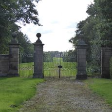
Der Zugang zum Naturschutzgebiet ist auf Mitglieder des örtlichen Vogelclubs und organisierte Gruppen beschränkt. Besucher sollten im Voraus den Club kontaktieren, um einen Besuch zu arrangieren, da Einzelpässe nicht verfügbar sind und ein Code für das Eingangstor erforderlich ist.
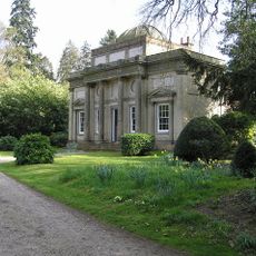
Eine bemerkenswerte Besonderheit ist das Ventilhaus mit seiner runden Metallkuppel auf einer Ziegelmauer, das Thomas Telford, ein berühmter Ingenieur, entworfen hat. Dieses Bauwerk mit seinen noch erhaltenen Originalteilen verbindet die Geschichte der Kanalbewirtschaftung mit der heutigen Vogelbeobachtung an diesem Ort.
Die Community neugieriger Reisender
AroundUs vereint tausende ausgewählte Orte, lokale Tipps und versteckte Schätze, täglich bereichert von über 60,000 Mitwirkenden weltweit.