
Doynton, village in Gloucestershire, England, UK
GPS Koordinaten: 51.46670,-2.40000
Neueste Aktualisierung: 3. März 2025 um 17:33
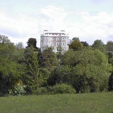
Bury Manor
2.1 km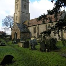
Church of St James the Great
1.9 km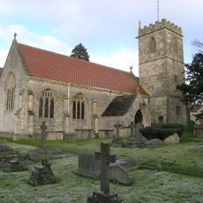
Church of Holy Trinity
298 m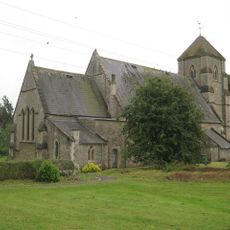
Church of St Bartholomew
3.1 km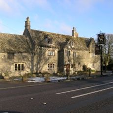
The White Hart
3 km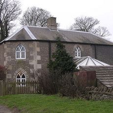
Oldfield Gatehouse
2.4 km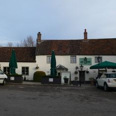
Rose And Crown
2.4 km
Walls Attached To South Elevation Of Stable Block
2.3 km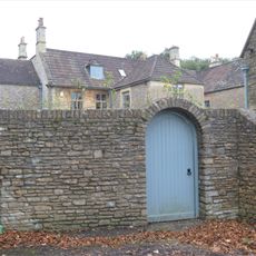
Wynter House
2.2 km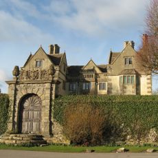
The Manor House
3.1 km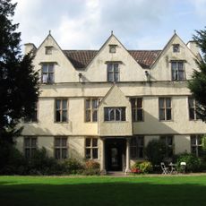
Wick Court
2.8 km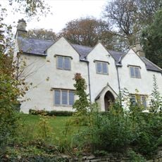
Roger's Orchard
2.3 km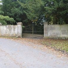
Gate Piers And Wall About 35 Metres North West Of The Old Rectory
2.1 km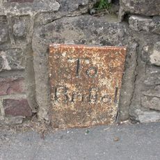
Milestone About 130 Metres West Of The Lawn
2.4 km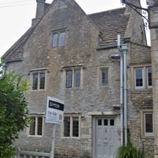
Hobbema House
2.1 km
Hamswell House
2.9 km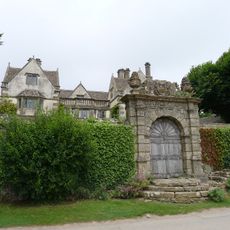
Garden Walls And Gateways About 15 Metres South Of The Manor House
3.2 km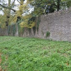
Wall About 200 Metres West Of Stable Block Attached To South Of Dyrham House
2.2 km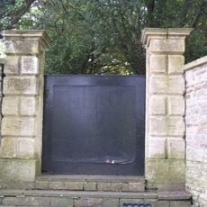
Pair Of Gate Piers And Steps About 12 Metres North Of The Old Rectory
2.1 km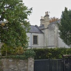
The Old Rectory
2.1 km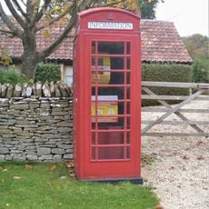
K6 Telephone Kiosk Outside Post Office
2 km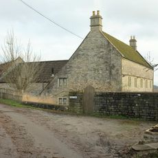
Lilliput Farmhouse
3.3 km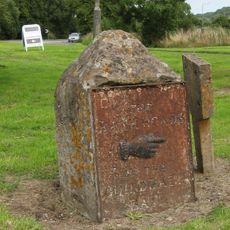
Guidestone At Junction With Bury Lane
2 km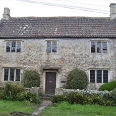
Old School House
2.1 km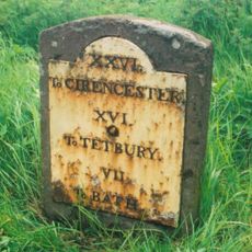
Milestone At Ngr St 7468 7457
2.4 km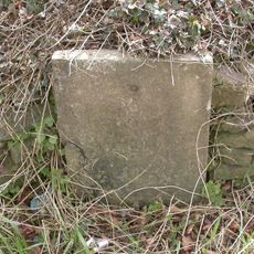
Milestone, The Folly; opp. pub car park
3 km
Wall And Gates About 200 Metres West Of Dyrham House
2.3 km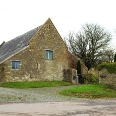
Barn About 14 Metres West Of The Court House
3.1 kmBewertungen
Diesen Ort besucht? Tippe auf die Sterne, um ihn zu bewerten und deine Erfahrung oder Fotos mit der Community zu teilen! Jetzt ausprobieren! Sie können jederzeit kündigen.
Entdecke verborgene Schätze auf jedem Abenteuer!
Von charmanten kleinen Cafés bis zu versteckten Aussichtspunkten – entfliehe dem Touristentrubel und finde Orte, die wirklich zu dir passen. Unsere App macht's dir leicht: Sprachsuche, clevere Filter, optimierte Routen und echte Geheimtipps von Reisenden weltweit. Jetzt runterladen und das Abenteuer mobil erleben!

Ein neuer Ansatz für touristische Entdeckungen❞
— Le Figaro
Alle Orte, die eine Entdeckung wert sind❞
— France Info
Ein maßgeschneiderter Ausflug mit nur wenigen Klicks❞
— 20 Minutes