
Osgathorpe, village and civil parish in Leicestershire, United Kingdom
Ort: North West Leicestershire
GPS Koordinaten: 52.77134,-1.36602
Neueste Aktualisierung: 7. März 2025 um 10:50
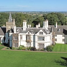
Grace Dieu Manor
1.8 km
Blackbrook-Staudamm
3.6 km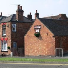
Three Horseshoes
3.6 km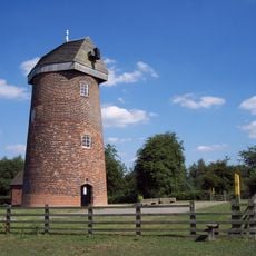
Hough Windmill
3 km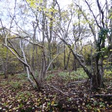
Breedon Cloud Wood and Quarry
2.2 km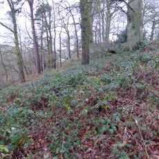
One Barrow Plantation
4.2 km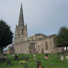
Church of St John the Baptist
2.3 km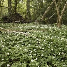
Grace Dieu and High Sharpley
2.8 km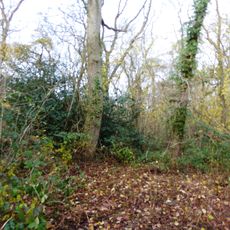
Pasture and Asplin Woods
2 km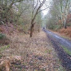
Shepshed Cutting
3.3 km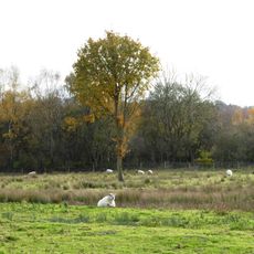
Lount Meadows
4.3 km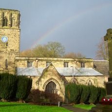
Church of St John the Baptist
3.4 km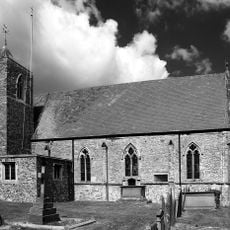
Church of St Mary
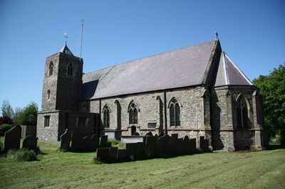
249 m
Church of St Matthew
2.5 km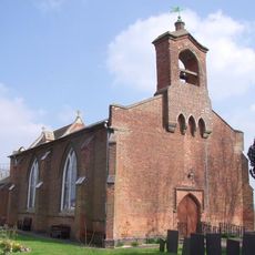
Church of St George
2.4 km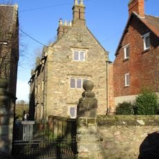
3-5, Church Lane
251 m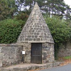
Lock Up And Pound
4.1 km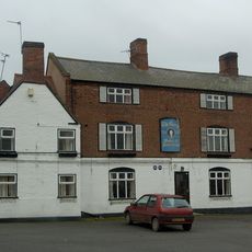
The George Public House
2.3 km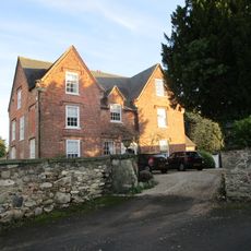
The Old Vicarage
2.3 km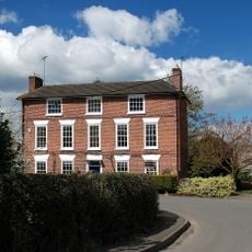
Hallington House
168 m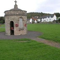
Breedon on the Hill War Memorial
4.2 km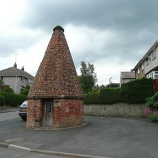
Lock up known as The Round House, at the junction of Church Street and St Matthew's Avenue
2.3 km
14, Long Street
2.1 km
16, Long Street
2.1 km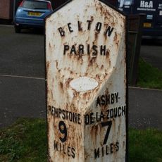
Milepost At Os Sk 456210
3.1 km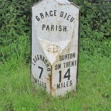
Milepost At Os Sk 432182
1.3 km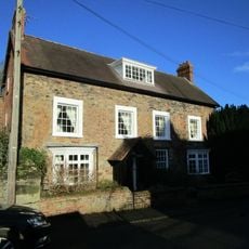
The Old Rectory
254 m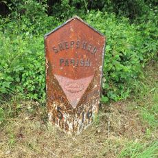
Milepost, Ashby Road West, SW of Blackbrook Hill House
3.4 kmBewertungen
Diesen Ort besucht? Tippe auf die Sterne, um ihn zu bewerten und deine Erfahrung oder Fotos mit der Community zu teilen! Jetzt ausprobieren! Sie können jederzeit kündigen.
Entdecke verborgene Schätze auf jedem Abenteuer!
Von charmanten kleinen Cafés bis zu versteckten Aussichtspunkten – entfliehe dem Touristentrubel und finde Orte, die wirklich zu dir passen. Unsere App macht's dir leicht: Sprachsuche, clevere Filter, optimierte Routen und echte Geheimtipps von Reisenden weltweit. Jetzt runterladen und das Abenteuer mobil erleben!

Ein neuer Ansatz für touristische Entdeckungen❞
— Le Figaro
Alle Orte, die eine Entdeckung wert sind❞
— France Info
Ein maßgeschneiderter Ausflug mit nur wenigen Klicks❞
— 20 Minutes