
Slapton, village and civil parish in Northamptonshire, UK
GPS Koordinaten: 52.11590,-1.06620
Neueste Aktualisierung: 5. März 2025 um 08:05
Lactodurum
5.5 km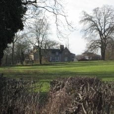
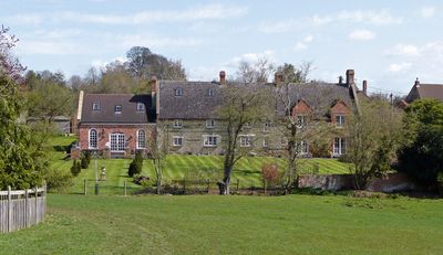
Weston Hall
4.9 km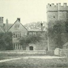
Astwell Castle
4.2 km
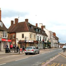
Town Hall
5.6 km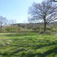
Bucknell Wood Meadows
1.9 km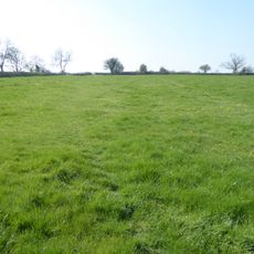
Plumpton Pasture
4.8 km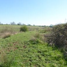
Syresham Marshy Meadows
4.2 km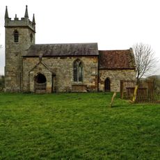
Church of St John the Baptist
4.5 km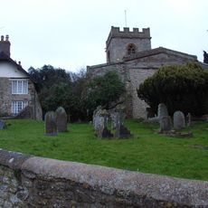
Church of St Mary, Weedon Lois
3.9 km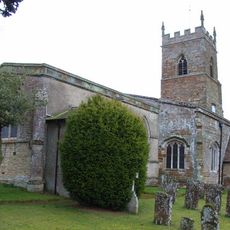
Church of St Mary
1.9 km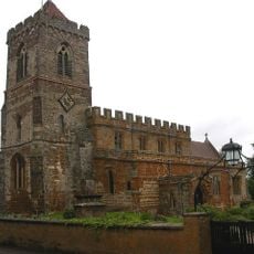
Church of St Mary
3.9 km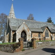
Church of St John the Baptist
948 m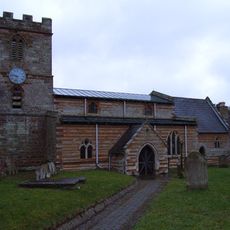
Church of St Michael
1.8 km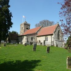
Church of St Botolph
82 m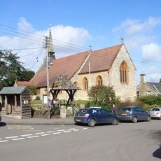
Church of St Michael
3.8 km
Roman Catholic Church
5.6 km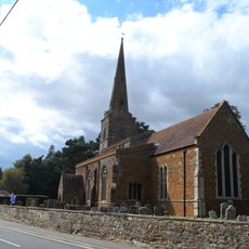
Church of St Bartholomew
4.2 km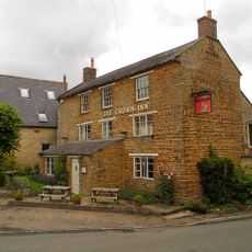
Crown Inn Public House
5.1 km
The Post Office
5.6 km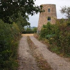
Windmill
4.2 km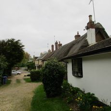
Owls Hoot
4 km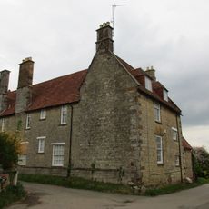
Manor House And Attached Walls
3.5 km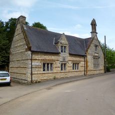
The Old School
1 km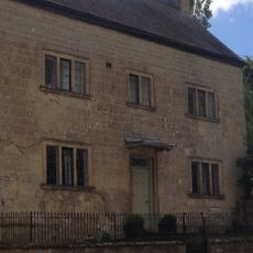
Stone Farmhouse
5.1 km
Former Post Office And Cottage
5.1 km
Bury Mount Castle
5.7 km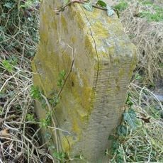
Milestone, Olney End, opp. Olney End House
4.3 km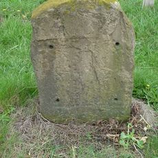
Milestone, N of 50mph sign & houses, N approach to Silverstone
3.8 kmBewertungen
Diesen Ort besucht? Tippe auf die Sterne, um ihn zu bewerten und deine Erfahrung oder Fotos mit der Community zu teilen! Jetzt ausprobieren! Sie können jederzeit kündigen.
Entdecke verborgene Schätze auf jedem Abenteuer!
Von charmanten kleinen Cafés bis zu versteckten Aussichtspunkten – entfliehe dem Touristentrubel und finde Orte, die wirklich zu dir passen. Unsere App macht's dir leicht: Sprachsuche, clevere Filter, optimierte Routen und echte Geheimtipps von Reisenden weltweit. Jetzt runterladen und das Abenteuer mobil erleben!

Ein neuer Ansatz für touristische Entdeckungen❞
— Le Figaro
Alle Orte, die eine Entdeckung wert sind❞
— France Info
Ein maßgeschneiderter Ausflug mit nur wenigen Klicks❞
— 20 Minutes