Twin Rivers, civil parish in East Riding of Yorkshire, England, UK
Website: http://twinrivers.org.uk
GPS Koordinaten: 53.68333,-0.73333
Neueste Aktualisierung: 7. März 2025 um 17:44
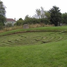
Julian’s Bower
4.3 km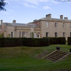
Saltmarshe Hall
6.1 km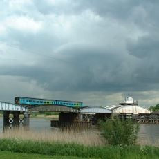
Goole railway swing bridge
7.9 km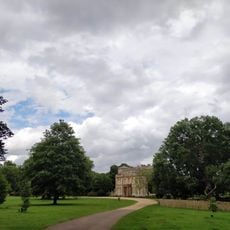
Normanby Hall Country Park
6.8 km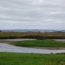
Blacktoft Sands RSPB reserve
1.9 km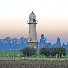
Whitgift Lighthouse
2.4 km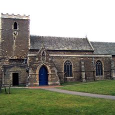
Church of St Andrew, Burton upon Stather
4.9 km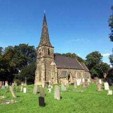
Church of St Mark
7.6 km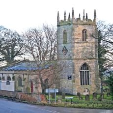
Church of Saint Mary Magdalene, Whitgift
3.1 km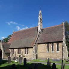
Church of Saint Bartholomew
5.8 km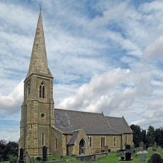
Church of Saint Oswald
4.3 km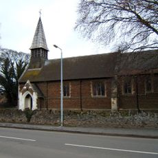
Church of All Saints
7.4 km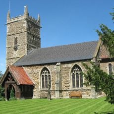
Church of Saint John the Baptist
4.5 km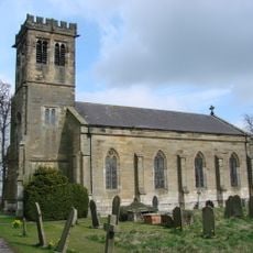
Church of Holy Trinity
2.8 km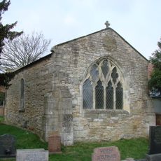
Remains Of Old Church
6 km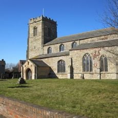
Church of All Saints
813 m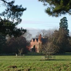
Yokefleet Hall
2.9 km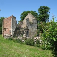
The Old Rectory
838 m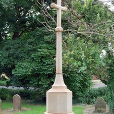
Whitgift War Memorial
3.1 km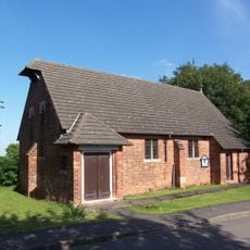
St Mary The Virgin
2.8 km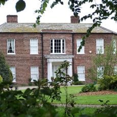
Walcot Hall
4 km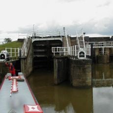
Weighton Lock
5.5 km
West Lodge And Gates, Gate Piers Connecting Wall And Railings And Outer Piers Immediately To West
3.1 km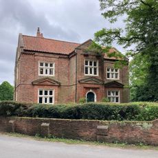
Walcot Old Hall
4.1 km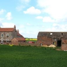
The Beeches
3.6 km
Amcotts War Memorial
7.7 km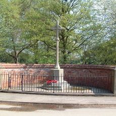
Eastoft War Memorial
6.2 km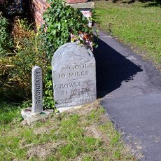
Milestone, ExYW at jct with B1392, in front of house opp. PH
6.3 kmDiesen Ort besucht? Tippe auf die Sterne, um ihn zu bewerten und deine Erfahrung oder Fotos mit der Community zu teilen! Jetzt ausprobieren! Sie können jederzeit kündigen.
Entdecke verborgene Schätze auf jedem Abenteuer!
Von charmanten kleinen Cafés bis zu versteckten Aussichtspunkten – entfliehe dem Touristentrubel und finde Orte, die wirklich zu dir passen. Unsere App macht's dir leicht: Sprachsuche, clevere Filter, optimierte Routen und echte Geheimtipps von Reisenden weltweit. Jetzt runterladen und das Abenteuer mobil erleben!

Ein neuer Ansatz für touristische Entdeckungen❞
— Le Figaro
Alle Orte, die eine Entdeckung wert sind❞
— France Info
Ein maßgeschneiderter Ausflug mit nur wenigen Klicks❞
— 20 Minutes