
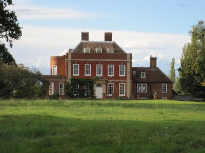
Tetworth Hall, listed building in Cambridgeshire, UK
GPS Koordinaten: 52.16230,-0.22129
Neueste Aktualisierung: 3. März 2025 um 03:18
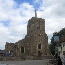
Church of St Mary the Virgin
2.5 km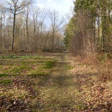
Gamlingay Wood
2.4 km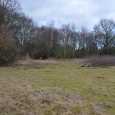
Gamlingay Cinques Common
851 m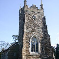
Church of St Mary, Everton, Bedfordshire
2.3 km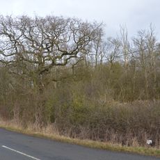
Weaveley and Sand Woods
1.3 km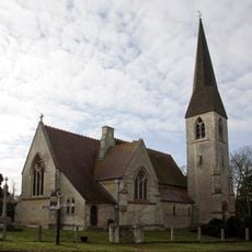
Church of St James the Great
3.5 km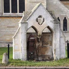
Village pump and drinking fountain
3.5 km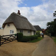
41, Church End
2.3 km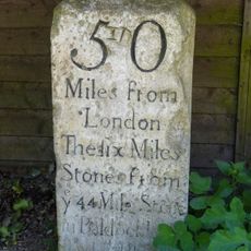
Milestone, Outside Park Farmhouse
1 km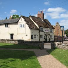
The Wheatsheaf Public House
2.4 km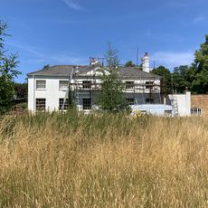
Waresley Hall
3.3 km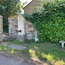
Village Pump About 10 Yards From Entry To Waresley Hall
3.5 km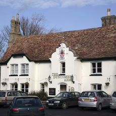
Duncombe Arms Public House
3.6 km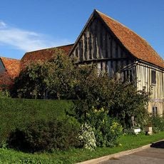
The Emplins
2.5 km
1 and 3, Gamlingay Road
3.6 km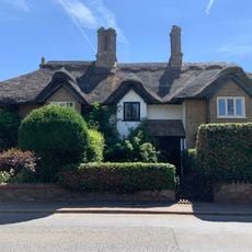
9, 11 And 13, Gamlingay Road
3.5 km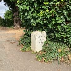
Milestone About 10 Yards West Of Duncombe Arms
3.5 km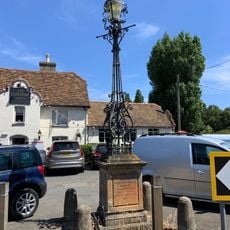
Lamp Standard 20 Yards South Of Duncombe Arms Public House
3.6 km
5 And 7, Gamlingay Road
3.5 km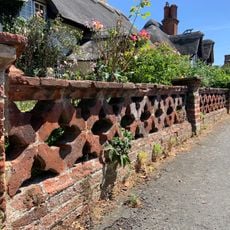
Garden Wall To Numbers 1,3,5,7,11,13,15,17 And 19
3.6 km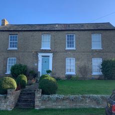
Grange Farmhouse
3.6 km
9, Blacksmiths Lane
3.6 km
Church Farmhouse
3.6 km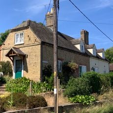
1 and 2, the Bank
3.5 km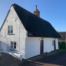
6 And 8, Hardwick Lane
3.6 km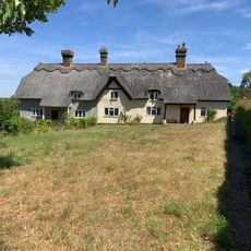
5 And 6, The Square
3.5 km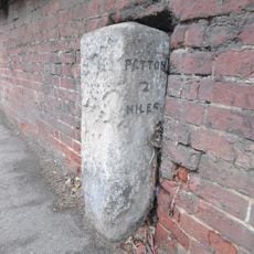
Milestone In Garden Wall To Number 34
2.2 km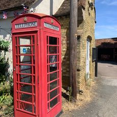
K6 Telephone Box
3.6 kmBewertungen
Diesen Ort besucht? Tippe auf die Sterne, um ihn zu bewerten und deine Erfahrung oder Fotos mit der Community zu teilen! Jetzt ausprobieren! Sie können jederzeit kündigen.
Entdecke verborgene Schätze auf jedem Abenteuer!
Von charmanten kleinen Cafés bis zu versteckten Aussichtspunkten – entfliehe dem Touristentrubel und finde Orte, die wirklich zu dir passen. Unsere App macht's dir leicht: Sprachsuche, clevere Filter, optimierte Routen und echte Geheimtipps von Reisenden weltweit. Jetzt runterladen und das Abenteuer mobil erleben!

Ein neuer Ansatz für touristische Entdeckungen❞
— Le Figaro
Alle Orte, die eine Entdeckung wert sind❞
— France Info
Ein maßgeschneiderter Ausflug mit nur wenigen Klicks❞
— 20 Minutes