
Darley Bridge, bridge in United Kingdom
Ort: South Darley
GPS Koordinaten: 53.15510,-1.59692
Neueste Aktualisierung: 23. September 2025 um 17:46

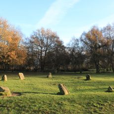
Nine Ladies
2.6 km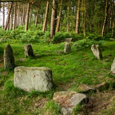
Doll Tor
3.3 km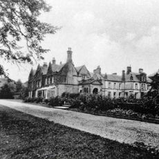
Stancliffe Hall
1.9 km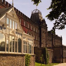
County Hall
3.3 km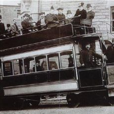
Matlock Cable Tramway
3.4 km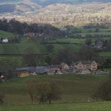
Snitterton Hall
1.9 km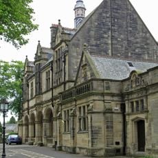
Whitworth Institute
919 m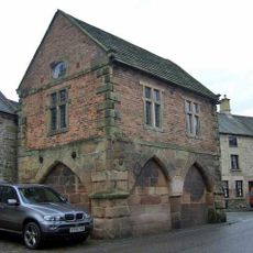
Winster Market House
3.3 km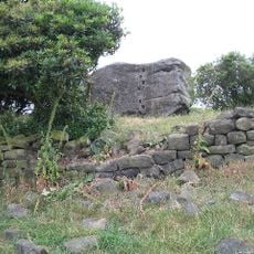
Andle Stone
3 km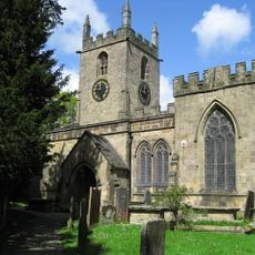
Parish Church of St Helen
985 m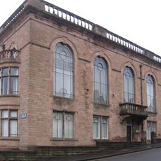
Matlock Town Hall
3.4 km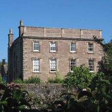
Winster Hall
3.3 km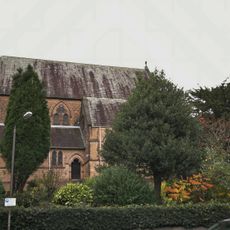
Church of All Saints
3.1 km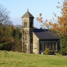
St Mary the Virgin's Church
642 m
Old Millclose engine house and associated features, 570m south west of Cowley Hall
1.3 km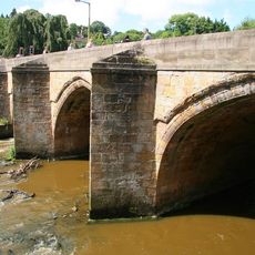
Matlock Bridge
3.3 km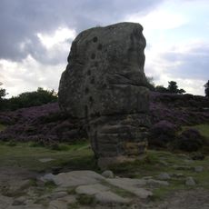
Rowtor Rocks
2.8 km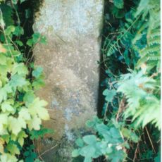
Mile Stone
1.9 km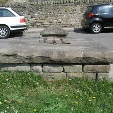
Village Well
3.1 km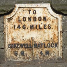
Mile Post 4 Miles From Matlock
940 m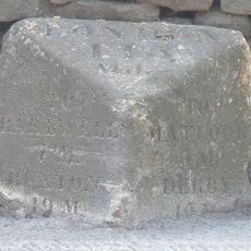
Mile Stone 3 Miles From Matlock
1.5 km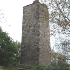
Reform Tower
2.3 km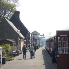
Darley Dale Station (Building On North Platform)
624 m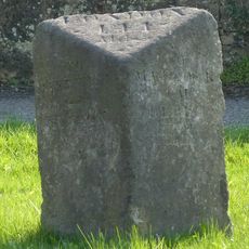
Mile Stone 2 Miles From Matlock
2.9 km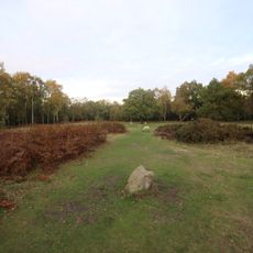
Bronze Age burial, ceremonial and settlement remains on Stanton Moor, and evidence for medieval, post-medieval and 19th to early
2.5 km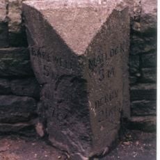
Milestone, Darley Road; Southern end of Northwood Village
2 km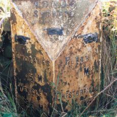
Milepost, Sydrope Hill, NE of Two Dales
2.3 km
Milestone, Darley Bridge, Wensley, Oaker Road
821 mBewertungen
Diesen Ort besucht? Tippe auf die Sterne, um ihn zu bewerten und deine Erfahrung oder Fotos mit der Community zu teilen! Jetzt ausprobieren! Sie können jederzeit kündigen.
Entdecke verborgene Schätze auf jedem Abenteuer!
Von charmanten kleinen Cafés bis zu versteckten Aussichtspunkten – entfliehe dem Touristentrubel und finde Orte, die wirklich zu dir passen. Unsere App macht's dir leicht: Sprachsuche, clevere Filter, optimierte Routen und echte Geheimtipps von Reisenden weltweit. Jetzt runterladen und das Abenteuer mobil erleben!

Ein neuer Ansatz für touristische Entdeckungen❞
— Le Figaro
Alle Orte, die eine Entdeckung wert sind❞
— France Info
Ein maßgeschneiderter Ausflug mit nur wenigen Klicks❞
— 20 Minutes