
Wyaston hlaew, burial mound (hlaew) in Edlaston and Wyaston, Derbyshire Dales, England, UK
Ort: Edlaston and Wyaston
GPS Koordinaten: 52.97510,-1.71686
Neueste Aktualisierung: 21. April 2025 um 17:16
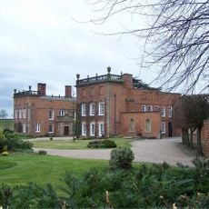
Longford Hall
4.5 km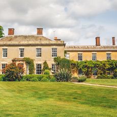
Yeldersley Hall, Derbyshire
2.8 km
Yeaveley Preceptory
2.8 km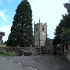
Church of St Michael
2.8 km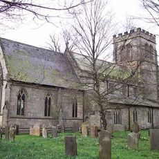
St Chad's Church, Longford
4.4 km
Church of St Martin
2.2 km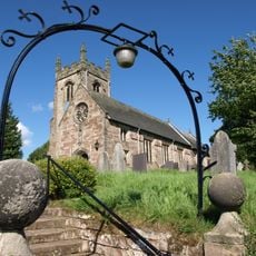
Church of St Peter
3.8 km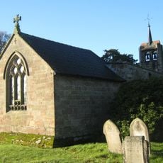
Church of St James
1.2 km
Medieval settlement, including site of chapel and part of the open field system, immediately north east of Alkmonton Old Hall Fa
4.4 km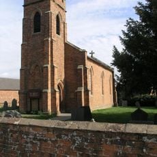
Holy Trinity Church
1.8 km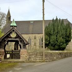
Church of the Holy Trinity
3.8 km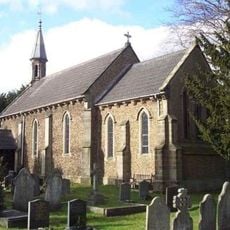
Church of St John
3.5 km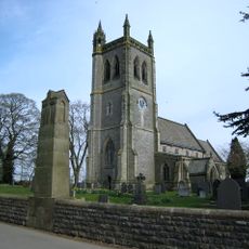
War Memorial South West of Church of St Martin
2.1 km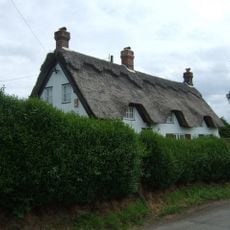
Yew Tree Cottage
2.7 km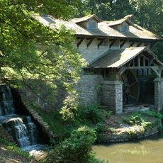
Saw Mill
1.8 km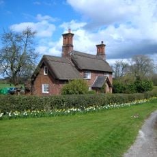
Park View Cottage
1.9 km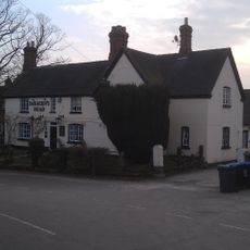
The Saracen's Head Public House
2.8 km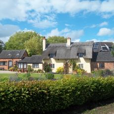
Thatched Cottage
2.7 km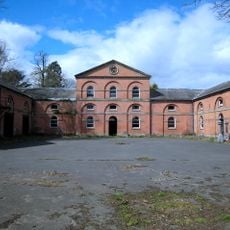
Stable Block And Coach House At Longford Hall Farm
4.3 km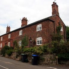
Terrace of three cottages opposite the Saracen's Head pub
2.8 km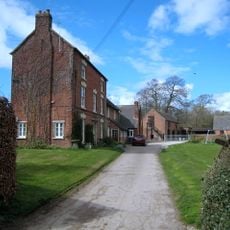
Shirley Mill Farmhouse
2.5 km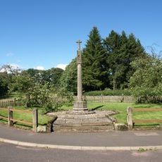
Snelston War Memorial
4.2 km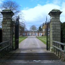
Gates And Gatepiers To East Of Longford Hall
4.5 km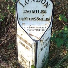
Mile Post At Os 212435
2.6 km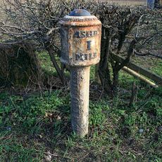
Mile Post South Of Buckholme Ngr 166 458
4.6 km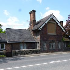
Old Tollhouse
3.4 km
Tinker's Inn bowl barrow, south
2.5 km
Two bowl barrows at Osmaston Fields, north
2.8 kmBewertungen
Diesen Ort besucht? Tippe auf die Sterne, um ihn zu bewerten und deine Erfahrung oder Fotos mit der Community zu teilen! Jetzt ausprobieren! Sie können jederzeit kündigen.
Entdecke verborgene Schätze auf jedem Abenteuer!
Von charmanten kleinen Cafés bis zu versteckten Aussichtspunkten – entfliehe dem Touristentrubel und finde Orte, die wirklich zu dir passen. Unsere App macht's dir leicht: Sprachsuche, clevere Filter, optimierte Routen und echte Geheimtipps von Reisenden weltweit. Jetzt runterladen und das Abenteuer mobil erleben!

Ein neuer Ansatz für touristische Entdeckungen❞
— Le Figaro
Alle Orte, die eine Entdeckung wert sind❞
— France Info
Ein maßgeschneiderter Ausflug mit nur wenigen Klicks❞
— 20 Minutes