Brewood and Coven, civil parish in South Staffordshire, Staffordshire, England
Ort: South Staffordshire
GPS Koordinaten: 52.67000,-2.17800
Neueste Aktualisierung: 8. März 2025 um 02:36
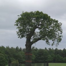
Royal Oak
4.3 km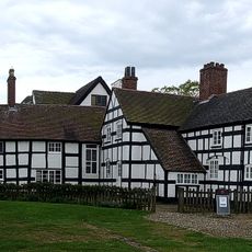
Boscobel House
4.3 km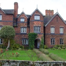
Moseley Old Hall
6.3 km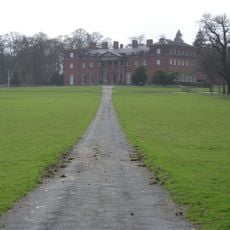
Chillington Hall
2.1 km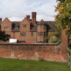
Black Ladies Priory
3.6 km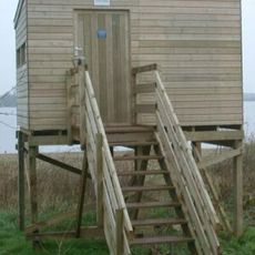
Belvide Reservoir
2 km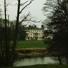
Somerford Hall
2 km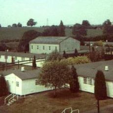
Brinsford Lodge
5.9 km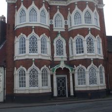
Speedwell Castle
812 m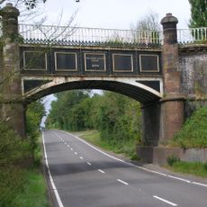
Stretton Aqueduct
2.8 km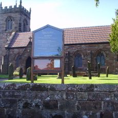
St Nicholas' Church, Codsall
4.3 km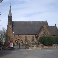
St Paul's Church, Coven
3.4 km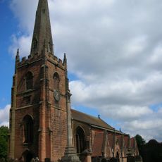
Church of St Mary and St Chad
686 m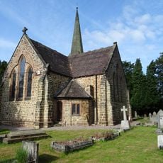
Church of St John
4.2 km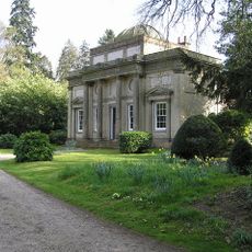
The Grecian Temple at Chillington Hall
3.8 km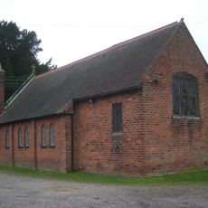
St Peter
4.4 km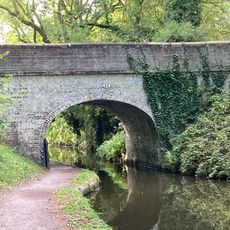
Shropshire Union Canal Number 13 (School Bridge)
543 m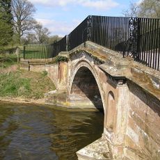
Payne's Bridge
3.2 km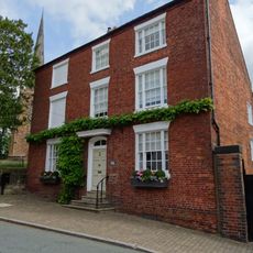
Dean House
630 m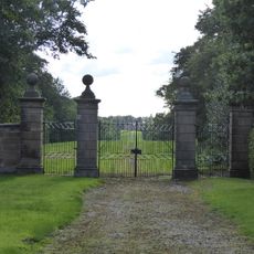
Gate Piers, Gates And Adjoining Walls To North And South At Giffard Cross
603 m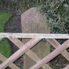
Milestone in the grounds of Acorn Cottage
4.6 km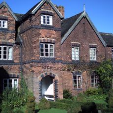
Moseley Hall
6.4 km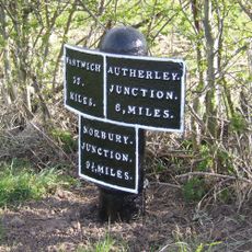
Shropshire Union Canal Milepost At Sj 874 104
2.5 km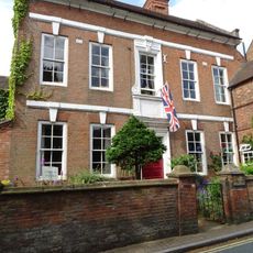
Westgate, Forecourt Wall And Gate Piers
614 m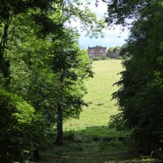
The Whitehouse And Farm Building To East,west And South
3.6 km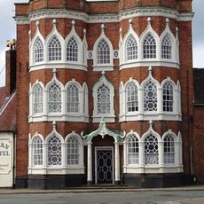
Speedwell Castle
812 m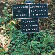
Shropshire Union Canal Canal Milepost Approximately 40 Yards North Of Avenue Bridge (Ngr Sj 88830760)
903 m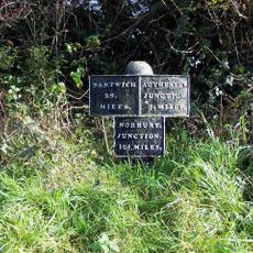
Shropshire Union Canal Milepost At Sj 891 060
2.3 kmDiesen Ort besucht? Tippe auf die Sterne, um ihn zu bewerten und deine Erfahrung oder Fotos mit der Community zu teilen! Jetzt ausprobieren! Sie können jederzeit kündigen.
Entdecke verborgene Schätze auf jedem Abenteuer!
Von charmanten kleinen Cafés bis zu versteckten Aussichtspunkten – entfliehe dem Touristentrubel und finde Orte, die wirklich zu dir passen. Unsere App macht's dir leicht: Sprachsuche, clevere Filter, optimierte Routen und echte Geheimtipps von Reisenden weltweit. Jetzt runterladen und das Abenteuer mobil erleben!

Ein neuer Ansatz für touristische Entdeckungen❞
— Le Figaro
Alle Orte, die eine Entdeckung wert sind❞
— France Info
Ein maßgeschneiderter Ausflug mit nur wenigen Klicks❞
— 20 Minutes