
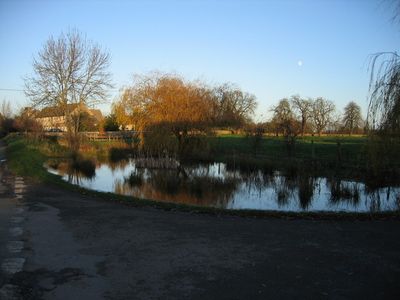
Driffield, village and civil parish in Cotswold, Gloucestershire, England
Ort: Cotswold District
GPS Koordinaten: 51.69487,-1.89770
Neueste Aktualisierung: 5. März 2025 um 09:45
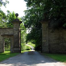
Ampney Park
2.4 km
Church of All Hallows
3.1 km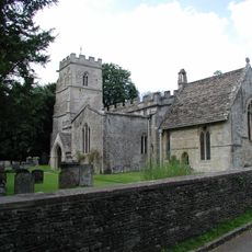
Church of the Holy Rood
2.4 km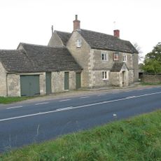
Red Lion
2.5 km
Wildmoorway Meadows
2.3 km
Church of St Mary
2 km
Church of St Mary
352 m
Church of St Peter
2.2 km
Church of St Michael and All Angels
2.9 km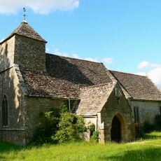
Church of St Michael
911 m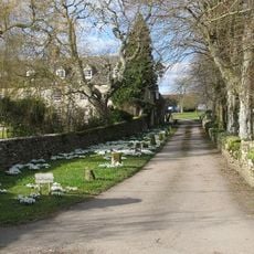
Church of All Saints
3.1 km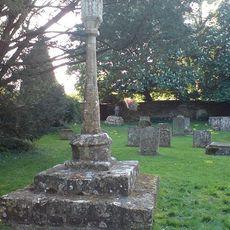
Cross in Churchyard of Church of the Holy Rood
2.4 km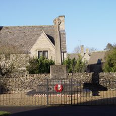
Poulton War Memorial
3.2 km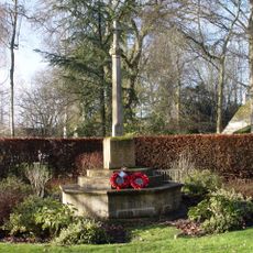
Ampney Crucis War Memorial
2.3 km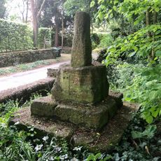
Wayside Cross at Ampney Crucis
2.4 km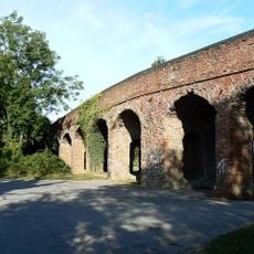
Former Road Bridge On Dismantled Railway
3.4 km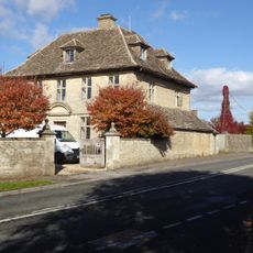
The Manor House And Gatepiers
3.2 km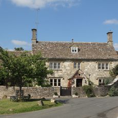
Cleeve House
2.1 km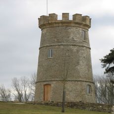
The Round House
3 km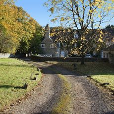
Church Farmhouse
3.1 km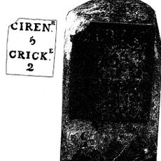
Milestone By Westfield Farm
3.5 km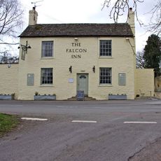
The Falcon
3.2 km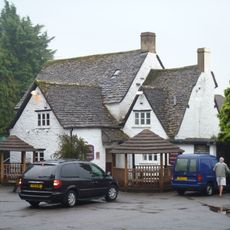
The Old George
3.3 km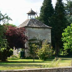
The Manor House
869 m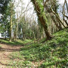
Ranbury Ring
2.3 km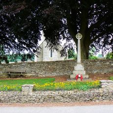
Driffield War Memorial, Gloucestershire
319 m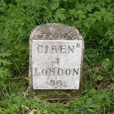
Milestone, 90m W Red Lion PH
2.4 km
Milestone, W of entrance to Ampney Park.
2.7 kmBewertungen
Diesen Ort besucht? Tippe auf die Sterne, um ihn zu bewerten und deine Erfahrung oder Fotos mit der Community zu teilen! Jetzt ausprobieren! Sie können jederzeit kündigen.
Entdecke verborgene Schätze auf jedem Abenteuer!
Von charmanten kleinen Cafés bis zu versteckten Aussichtspunkten – entfliehe dem Touristentrubel und finde Orte, die wirklich zu dir passen. Unsere App macht's dir leicht: Sprachsuche, clevere Filter, optimierte Routen und echte Geheimtipps von Reisenden weltweit. Jetzt runterladen und das Abenteuer mobil erleben!

Ein neuer Ansatz für touristische Entdeckungen❞
— Le Figaro
Alle Orte, die eine Entdeckung wert sind❞
— France Info
Ein maßgeschneiderter Ausflug mit nur wenigen Klicks❞
— 20 Minutes