
Crossways Farmhouse, Including Attached Outbuilding, building in Reigate and Banstead, Surrey, UK
Ort: Reigate and Banstead
GPS Koordinaten: 51.26593,-0.18933
Neueste Aktualisierung: 8. April 2025 um 01:28
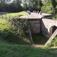
London Defence Positions
1.5 km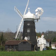
Wray Common Mill, Reigate
2.4 km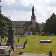
St Andrew's Church
1.2 km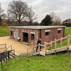
Reigate Fort
1.6 km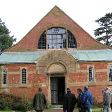
Church of Jesus Christ and the Wisdom of God
1.6 km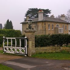
Entrance Gateway To South Of No 59 (Wray Park Lodge)
2 km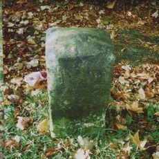
Milestone Opposite N0 31 Merrywood Park
2.2 km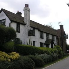
Well House Inn
1.9 km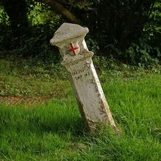
Coal Tax Post 100 Yards South Of The Sportsman Public House Ngr Tq 24005301
2.4 km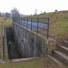
Reigate Fort
1.5 km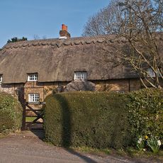
Thatched Cottage
663 m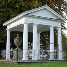
Gatton Town Hall
1.2 km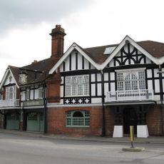
The Feathers Hotel
2.6 km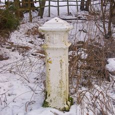
Coal Tax Post Opposite Wooden Cottage
2.6 km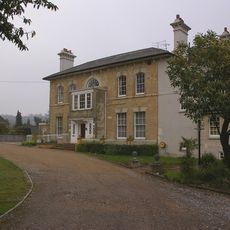
Wray Park Hall
2 km
384th Bombardment Group USAAF Crash Memorial, Reigate Hill
1.7 km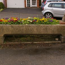
Drinking Fountain And Cattle Trough To East Of Nos 27 And 29
2.6 km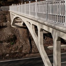
Reigate Hill Footbridge
1.1 km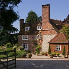
Wray Farmhouse
2.3 km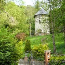
Dovecot In Grounds To North Of Wellhead
2.6 km
Hoath Farm House
2.4 km
Viaduct
1.3 km
North Lodge, Including Fence And Gate
1.2 km
Wray Park Lodge
2 km
Wellhead
2.5 km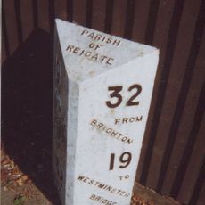
Milepost, Redhill, London Road; opp. Ringwood Ave
2.4 km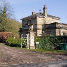
West Lodge With Walls, Piers And Gates
1.9 km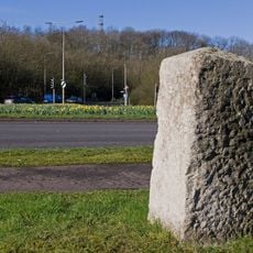
Milestone on Reigate Hill at intersection of M25 with A217 (Junction 8)
1 kmBewertungen
Diesen Ort besucht? Tippe auf die Sterne, um ihn zu bewerten und deine Erfahrung oder Fotos mit der Community zu teilen! Jetzt ausprobieren! Sie können jederzeit kündigen.
Entdecke verborgene Schätze auf jedem Abenteuer!
Von charmanten kleinen Cafés bis zu versteckten Aussichtspunkten – entfliehe dem Touristentrubel und finde Orte, die wirklich zu dir passen. Unsere App macht's dir leicht: Sprachsuche, clevere Filter, optimierte Routen und echte Geheimtipps von Reisenden weltweit. Jetzt runterladen und das Abenteuer mobil erleben!

Ein neuer Ansatz für touristische Entdeckungen❞
— Le Figaro
Alle Orte, die eine Entdeckung wert sind❞
— France Info
Ein maßgeschneiderter Ausflug mit nur wenigen Klicks❞
— 20 Minutes