
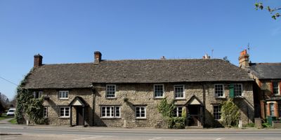
Kings Arms Public House And Attached Mounting Block, Pub im Vereinigten Königreich
GPS Koordinaten: 51.81781,-1.27236
Neueste Aktualisierung: 27. März 2025 um 18:29
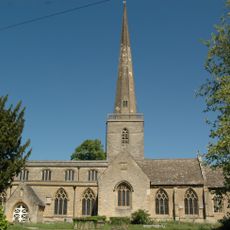
Church of St Mary
1.4 km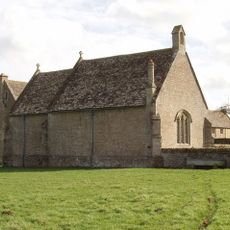
Chapel At Water Eaton Manor House
1.9 km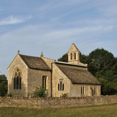
Church of St Mary
2.1 km
74 and 76, Church Street
1.4 km
86 and 88, Church Street
1.4 km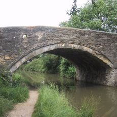
Bridge 227, Oxford Canal
1.5 km
78, Church Street
1.4 km
82 and 84, Church Street
1.3 km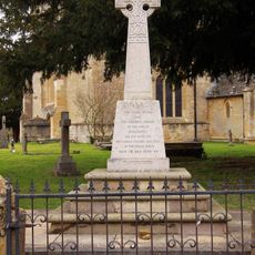
Kidlington and Hamlets War Memorial
1.4 km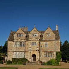
Manor House
1.9 km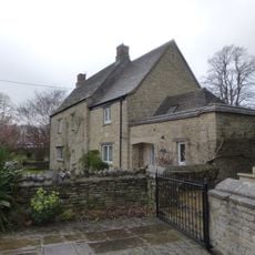
Old Priest's House
1.4 km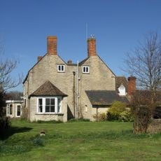
Northfield Farmhouse
1.4 km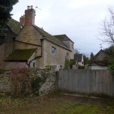
The Old Manor House
2 km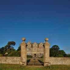
Gateway Approximately 30 Metres East Of Water Eaton Manor House
2 km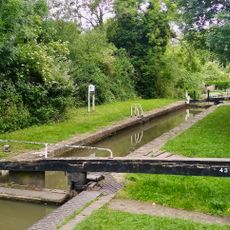
Oxford Canal Kidlington Green Lock
1.3 km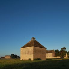
Dovecote Approximately 80 Metres East Of The Manorhouse
2 km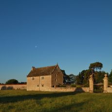
South Pavilion And Attached Walls Approximately 40 Metres East Of The Manorhouse
2 km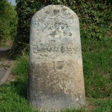
Milestone On Banbury Road, Kidlington
2.1 km
Model Farmhouse
2.2 km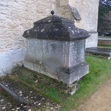
Chest tomb approximately 1/2 metre west of Church of St Mary
1.4 km
Morton Almshouses
1.4 km
Exeter House
1.4 km
Poyle Court
2.1 km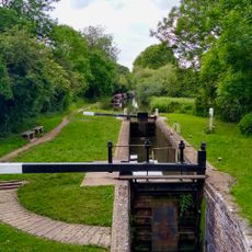
Roundham Lock, Oxford Canal
2 km
Manor Farmhouse
2 km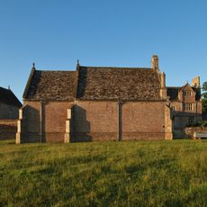
North Pavilion And Attached Walls Approximately 40 Metres North East Of The Manorhouse
1.9 km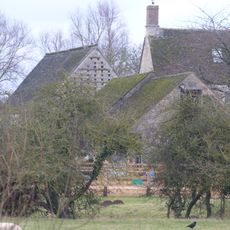
Outbuilding approximately 5 metres north west of Manor Farmhouse
2 km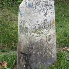
Milestone, Banbury Road; by No.118 & 120
2.1 kmBewertungen
Diesen Ort besucht? Tippe auf die Sterne, um ihn zu bewerten und deine Erfahrung oder Fotos mit der Community zu teilen! Jetzt ausprobieren! Sie können jederzeit kündigen.
Entdecke verborgene Schätze auf jedem Abenteuer!
Von charmanten kleinen Cafés bis zu versteckten Aussichtspunkten – entfliehe dem Touristentrubel und finde Orte, die wirklich zu dir passen. Unsere App macht's dir leicht: Sprachsuche, clevere Filter, optimierte Routen und echte Geheimtipps von Reisenden weltweit. Jetzt runterladen und das Abenteuer mobil erleben!

Ein neuer Ansatz für touristische Entdeckungen❞
— Le Figaro
Alle Orte, die eine Entdeckung wert sind❞
— France Info
Ein maßgeschneiderter Ausflug mit nur wenigen Klicks❞
— 20 Minutes