
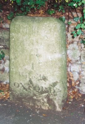
Stone On The South Side Of Headington Road 50 Yards East Of Hilltop
Stone On The South Side Of Headington Road 50 Yards East Of Hilltop, building in Oxford, Oxfordshire, UK
Ort: Oxford
Gründung: 18. Jahrhundert
GPS Koordinaten: 51.75528,-1.22711
Neueste Aktualisierung: 30. März 2025 um 17:59
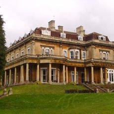
Headington Hill Hall
278 m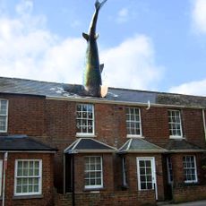
Headington Shark
1 km
O2 Academy Oxford
1.1 km
Mesopotamia
1 km
South Park
512 m
Ultimate Picture Palace
1.1 km
The Oxford Artisan Distillery
402 m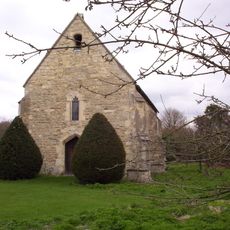
St Bartholomew's Chapel, Oxford
1.1 km
St Clement's Church, Oxford
775 m
Headington Hill Park
442 m
Angel & Greyhound Meadow, Oxford
1.1 km
The Vines, Oxford
470 m
Cotuit Hall
559 m
St Anthony of Padua, Oxford
968 m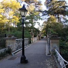
Bridge Over Headington Road At Headington Hill Hall
213 m
The Warneford Hospital Chapel
542 m
The Britannia Public House
993 m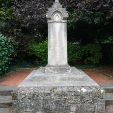
New Marston War Memorial
685 m
St Bartholomews Farmhouse
1.1 km
Kings Mill
788 m
Bartlemas House
1.1 km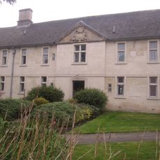
Stones Almshouses (8 Tenements)
1.1 km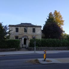
Hilltop
44 m
Stone In Warneford Lane Opposite The Entrance To The Warneford Hospital
502 m
St Clement's, Oxford War Memorial
735 m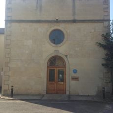
81, St Clements Street
1 km
Stone At The Junction Of Marston Road And The Footpath To Pullens Lane
578 m
Stone On The North Side Of Headington Hill 20 Yards To The East Of The Bridge
173 mDiesen Ort besucht? Tippe auf die Sterne, um ihn zu bewerten und deine Erfahrung oder Fotos mit der Community zu teilen! Jetzt ausprobieren! Sie können jederzeit kündigen.
Entdecke verborgene Schätze auf jedem Abenteuer!
Von charmanten kleinen Cafés bis zu versteckten Aussichtspunkten – entfliehe dem Touristentrubel und finde Orte, die wirklich zu dir passen. Unsere App macht's dir leicht: Sprachsuche, clevere Filter, optimierte Routen und echte Geheimtipps von Reisenden weltweit. Jetzt runterladen und das Abenteuer mobil erleben!

Ein neuer Ansatz für touristische Entdeckungen❞
— Le Figaro
Alle Orte, die eine Entdeckung wert sind❞
— France Info
Ein maßgeschneiderter Ausflug mit nur wenigen Klicks❞
— 20 Minutes