
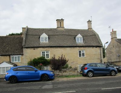
11, Stamford Road, building in Weldon, Corby, Northamptonshire, UK
Ort: Weldon
Adresse: 11, Stamford Road, Weldon, Corby, Northamptonshire, NN17
GPS Koordinaten: 52.49654,-0.63489
Neueste Aktualisierung: 6. April 2025 um 02:22
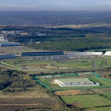
Rockingham Motor Speedway
2.6 km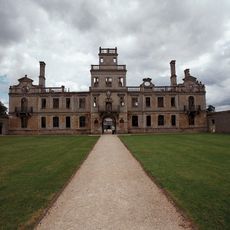
Kirby Hall
3.1 km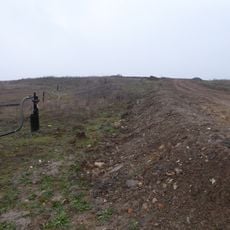
Cowthick Quarry
1.6 km
Church of St Mary the Virgin
271 m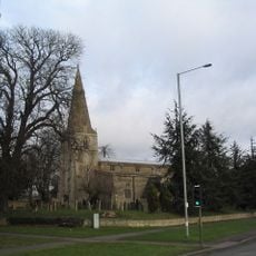
Church of St John the Baptist
3 km
Church of St Peter
3.1 km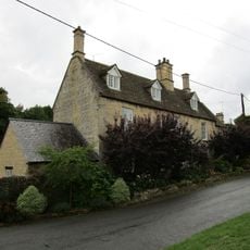
20, Church Street
356 m
The Woolpack Public House
55 m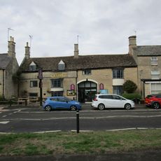
The George Hotel And Restaurant
35 m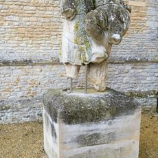
Statue Approximately 120 Metres East Of Garden Front Of Kirby Hall
3 km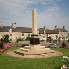
Weldon War Memorial, Northamptonshire
77 m
Kirby Hall: an Elizabethan country house and gardens and the remains of the medieval village of Kirby
2.9 km
Group Of Kerbstones In Forecourt, Kirby Hall
3.1 km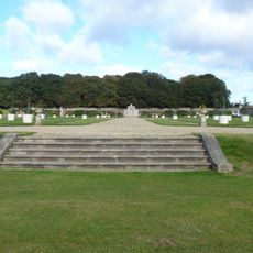
Steps Approximately 60 Meteres South West Of Garden Front Of Kirby Hall
3 km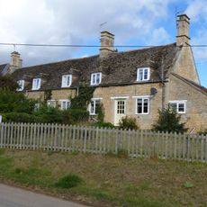
Sunnydene
3.5 km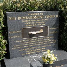
401st Bombardment Group USAAF Memorial, Deenethorpe
3.2 km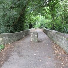
Causeway
188 m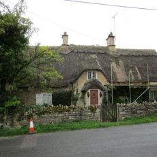
The Old Rectory Lodge
366 m
Home Farmhouse
3.4 km
The Rosary
94 m
75 And 77, High Street
3.2 km
27, High Street
111 m
9, 10 And 11, School Lane
95 m
57, High Street
3.3 km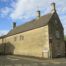
The Old School House And Attached Studio
3.2 km
Corby War Memorial
3.1 km
Weldon Lodge
1.9 km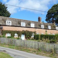
13 And 15, Main Street
3.5 kmDiesen Ort besucht? Tippe auf die Sterne, um ihn zu bewerten und deine Erfahrung oder Fotos mit der Community zu teilen! Jetzt ausprobieren! Sie können jederzeit kündigen.
Entdecke verborgene Schätze auf jedem Abenteuer!
Von charmanten kleinen Cafés bis zu versteckten Aussichtspunkten – entfliehe dem Touristentrubel und finde Orte, die wirklich zu dir passen. Unsere App macht's dir leicht: Sprachsuche, clevere Filter, optimierte Routen und echte Geheimtipps von Reisenden weltweit. Jetzt runterladen und das Abenteuer mobil erleben!

Ein neuer Ansatz für touristische Entdeckungen❞
— Le Figaro
Alle Orte, die eine Entdeckung wert sind❞
— France Info
Ein maßgeschneiderter Ausflug mit nur wenigen Klicks❞
— 20 Minutes