
Coal Duty Boundary Marker, coal-tax post in Bexley, Greater London, UK
Teil von: political border
GPS Koordinaten: 51.45412,0.20276
Neueste Aktualisierung: 14. März 2025 um 01:21
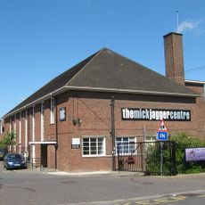
The Mick Jagger Centre
1 km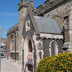
Church of the Holy Trinity
1.7 km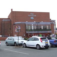
Orchard Theatre
1.4 km
One Bell
1.9 km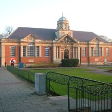
Dartford Library
1.7 km
Priory Farmhouse containing the remains of Dartford Priory Gatehouse
1.1 km
Crayford Town Hall
1.6 km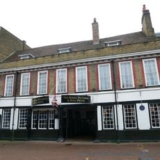
The Royal Victoria And Bull Inn
1.5 km
Church of St Paulinus, Crayford
1.9 km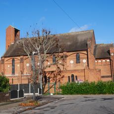
Christ Church
961 m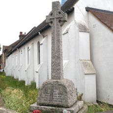
War Memorial in the Churchyard of St Alban's Church
2 km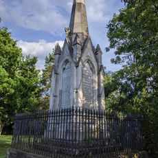
Martyr's Monument In St Edmund's Chartered Graveyard
1.9 km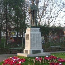
Dartford War Memorial
1.6 km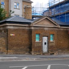
Former West Hill Police Station
1.1 km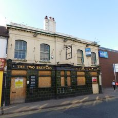
The Two Brewers Public House
1.5 km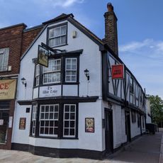
The Wat Tyler Public House
1.6 km
Beadles
1.3 km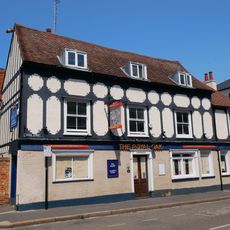
The Royal Oak Public House
1.2 km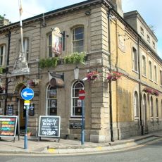
Kent House The County Court
1.3 km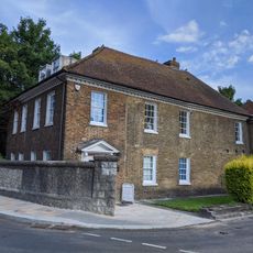
The Bridge House
1.7 km
The Long Shed (Part Of David Evans Limited Factory At Number 71)
2.1 km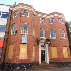
45, High Street
1.6 km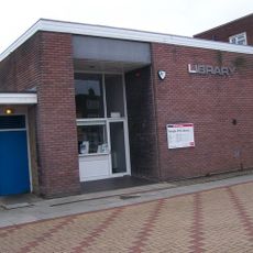
Temple Hill Library
1.8 km
World War II Heavy Anti-Aircraft (Haa) Battery
2.2 km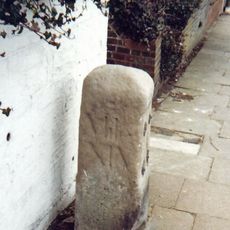
Milestone Opposite Nos 179 And 179A
866 m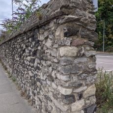
Remains Of Priory Walls In Victoria Road, Kingsfield Terrace And Priory Lane, Including The Doorway In Kingsfield Terrace
921 m
Crayford Manor House
2.2 km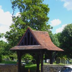
Lychgate to West of Parish Church of St Paulinus
2 kmBewertungen
Diesen Ort besucht? Tippe auf die Sterne, um ihn zu bewerten und deine Erfahrung oder Fotos mit der Community zu teilen! Jetzt ausprobieren! Sie können jederzeit kündigen.
Entdecke verborgene Schätze auf jedem Abenteuer!
Von charmanten kleinen Cafés bis zu versteckten Aussichtspunkten – entfliehe dem Touristentrubel und finde Orte, die wirklich zu dir passen. Unsere App macht's dir leicht: Sprachsuche, clevere Filter, optimierte Routen und echte Geheimtipps von Reisenden weltweit. Jetzt runterladen und das Abenteuer mobil erleben!

Ein neuer Ansatz für touristische Entdeckungen❞
— Le Figaro
Alle Orte, die eine Entdeckung wert sind❞
— France Info
Ein maßgeschneiderter Ausflug mit nur wenigen Klicks❞
— 20 Minutes