
Casade, Weir And Sluice On River Beane About 30 Metres North Of Drive
Casade, Weir And Sluice On River Beane About 30 Metres North Of Drive, structures for water regulation at Watton-at-Stone, East Hertfordshire, Hertfordshire, UK
Ort: Watton-at-Stone
GPS Koordinaten: 51.84765,-0.09433
Neueste Aktualisierung: 3. März 2025 um 23:25

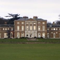
Woodhall Park
664 m
Waterford Heath
3.3 km
Downfield Pit
4 km
Three Lakes Golf Course
3.6 km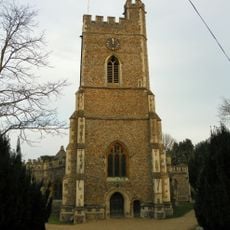
Church of St Andrew and St Mary
1.3 km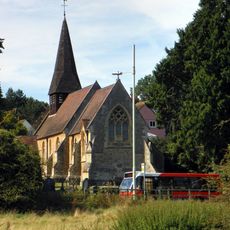
Church of St Michael and All Angels
3.6 km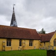
Church of St Mary the Virgin
1.4 km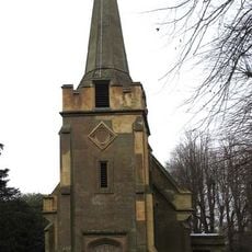
Church of St Andrew
3.5 km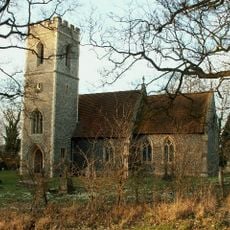
Church of St Katherine
2.5 km
Milestone In Verge Outside Goldings Park At Ngr Tl 3148 1420
4.1 km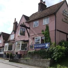
George And Dragon Public House
1.6 km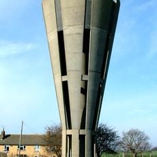
Tonwell Water Tower (pronounced ('Tunnel')
2.3 km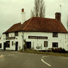
Waggon And Horses Public House
2.2 km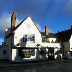
The Bull Public House
1.5 km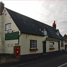
The Robin Hood Public House
2.3 km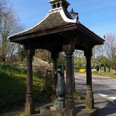
Village Pump And Housing
1.7 km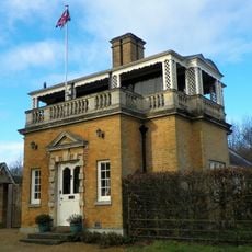
Hetford Lodge East
276 m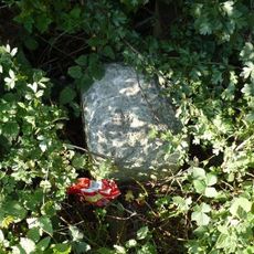
Milestone
1.1 km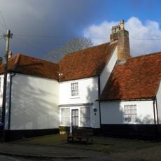
93 And 95, High Street
1.6 km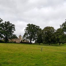
The Stables
455 m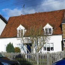
123, High Street
1.5 km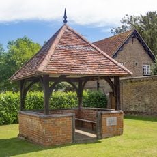
The Old Well House About 20 Metres South West Of Number 2
3.4 km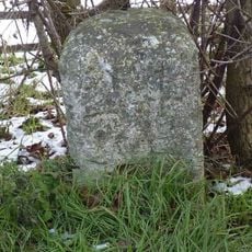
Milestone
2.6 km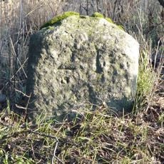
Milestone
1.6 km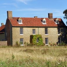
Chelsing Farmhouse
3.6 km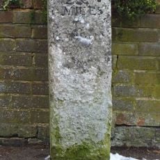
Milestone Aboout 15 Metres East Of Number 138
1.3 km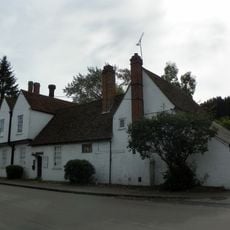
Watton Place And Attached Garden Wall
1.8 km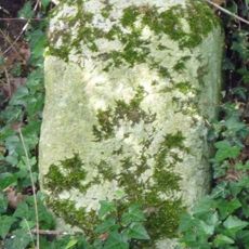
Milestone, S of Tonwell beside footpath on track of old road E of A602
2.6 kmBewertungen
Diesen Ort besucht? Tippe auf die Sterne, um ihn zu bewerten und deine Erfahrung oder Fotos mit der Community zu teilen! Jetzt ausprobieren! Sie können jederzeit kündigen.
Entdecke verborgene Schätze auf jedem Abenteuer!
Von charmanten kleinen Cafés bis zu versteckten Aussichtspunkten – entfliehe dem Touristentrubel und finde Orte, die wirklich zu dir passen. Unsere App macht's dir leicht: Sprachsuche, clevere Filter, optimierte Routen und echte Geheimtipps von Reisenden weltweit. Jetzt runterladen und das Abenteuer mobil erleben!

Ein neuer Ansatz für touristische Entdeckungen❞
— Le Figaro
Alle Orte, die eine Entdeckung wert sind❞
— France Info
Ein maßgeschneiderter Ausflug mit nur wenigen Klicks❞
— 20 Minutes