
Boundary Stone, boundary marker in Andoversford, Cotswold, Gloucestershire, UK
Ort: Andoversford
Teil von: political border
GPS Koordinaten: 51.87373,-1.96778
Neueste Aktualisierung: 4. März 2025 um 14:49


Whittington Court
1.6 km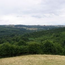
Lineover Wood
3.6 km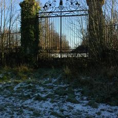
Sandywell Park
1.2 km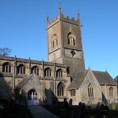
Church of St Michael
3.9 km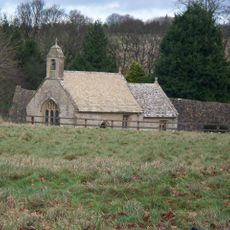
St Mary's Church, Shipton Solars
1.3 km
Arle Grove
3.5 km
Puckham Woods
3.2 km
Church of St Andrew
2.5 km
Church of St Oswald
1.7 km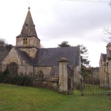
Church of Saint Michael and All Saints
2.2 km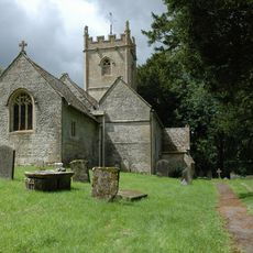
Church of St Oswald
4.6 km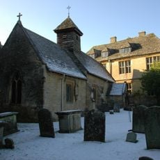
Church of St Bartholomew
1.5 km
Group Of Four Monuments In The Churchyard Of The Church Of St Oswald, South Of South Transept And Chancel
1.7 km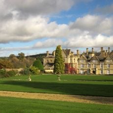
Brockhampton Park
3.2 km
The Mill House
4.2 km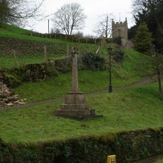
Compton Abdale War Memorial
4.7 km
The Old Rectory
3.9 km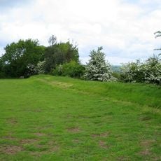
Camp at Upper Dowdeswell
1.7 km
Barn Circa 65 Metres North West Of Whittington Court
1.6 km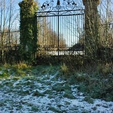
Gates, Gate Piers And Railings At Former West Entrance To Sandywell Park
1.6 km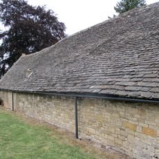
Barn, Stableblock, Granary/smithy And Kennel, Circa 40 Metres West Of Shipton Sollars
1.3 km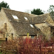
The Corn Mill And Mill Wheel
4.9 km
Barn, Manor House
4.9 km
Stable Block Circa 65 Metres West Of Whittington Court
1.6 km
Home Farm
2.3 km
The Old Bakehouse
1.7 km
Milestone, Kilkenny
1.8 km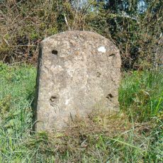
Milestone, E of Andoversford
737 mBewertungen
Diesen Ort besucht? Tippe auf die Sterne, um ihn zu bewerten und deine Erfahrung oder Fotos mit der Community zu teilen! Jetzt ausprobieren! Sie können jederzeit kündigen.
Entdecke verborgene Schätze auf jedem Abenteuer!
Von charmanten kleinen Cafés bis zu versteckten Aussichtspunkten – entfliehe dem Touristentrubel und finde Orte, die wirklich zu dir passen. Unsere App macht's dir leicht: Sprachsuche, clevere Filter, optimierte Routen und echte Geheimtipps von Reisenden weltweit. Jetzt runterladen und das Abenteuer mobil erleben!

Ein neuer Ansatz für touristische Entdeckungen❞
— Le Figaro
Alle Orte, die eine Entdeckung wert sind❞
— France Info
Ein maßgeschneiderter Ausflug mit nur wenigen Klicks❞
— 20 Minutes