
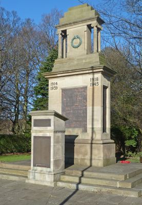
Horsforth War Memorial, war memorial in Horsforth, West Yorkshire
Ort: Horsforth
Gründung: 1920
GPS Koordinaten: 53.83460,-1.64572
Neueste Aktualisierung: 3. April 2025 um 02:57
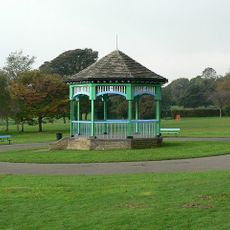
Horsforth Hall Park
370 m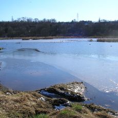
Rodley Nature Reserve
1.4 km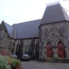
Grove Methodist Church
410 m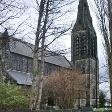
Church of St Margaret
644 m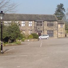
Low Hall Restaurant And Farmhouse
1.2 km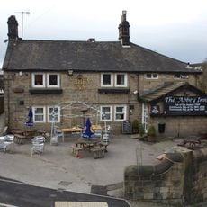
Abbey Inn
1 km
Horsforth Library
791 m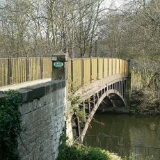
Newlay Bridge
846 m
2,6 And 8, Bachelor Lane
1 km
Low Fold
233 m
K6 Telephone Kiosk Adjacent To The Old Kings Arms Public House
309 m
Lee Lane Farmhouse
1.3 km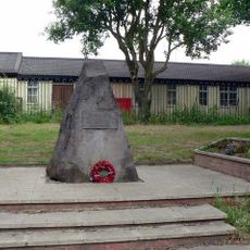
Stanhope Drive War Memorial
938 m
Upper Bank House
285 m
Croft House
965 m
Grove Manse
394 m
79,81 And 83, Town Street
598 m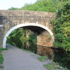
Leeds and Liverpool Canal Bridge 221
1.1 km
Toll House To Iron Bridge
829 m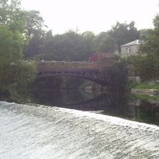
Weir And Retaining Walls On River Aire
869 m
4, Hall Lane
304 m
Stable Block To Former Horsforth Hall
445 m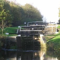
Newlay Locks
1.3 km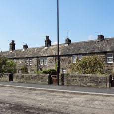
123-135, Town Street
838 m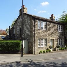
6, Hall Lane
286 m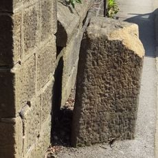
Gritstone pillar with three cup marks in the north pavement of the A65 at Horsforth, 440m south east of the roundabout at Low Fold
233 m
Milestone, New Road Side, Horsforth
241 m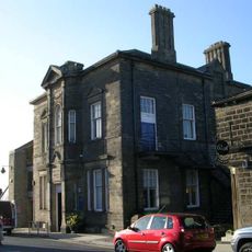
Horsforth Community Hub
787 mBewertungen
Diesen Ort besucht? Tippe auf die Sterne, um ihn zu bewerten und deine Erfahrung oder Fotos mit der Community zu teilen! Jetzt ausprobieren! Sie können jederzeit kündigen.
Entdecke verborgene Schätze auf jedem Abenteuer!
Von charmanten kleinen Cafés bis zu versteckten Aussichtspunkten – entfliehe dem Touristentrubel und finde Orte, die wirklich zu dir passen. Unsere App macht's dir leicht: Sprachsuche, clevere Filter, optimierte Routen und echte Geheimtipps von Reisenden weltweit. Jetzt runterladen und das Abenteuer mobil erleben!

Ein neuer Ansatz für touristische Entdeckungen❞
— Le Figaro
Alle Orte, die eine Entdeckung wert sind❞
— France Info
Ein maßgeschneiderter Ausflug mit nur wenigen Klicks❞
— 20 Minutes